Fort Bliss in El Paso County, Texas — The American South (West South Central)
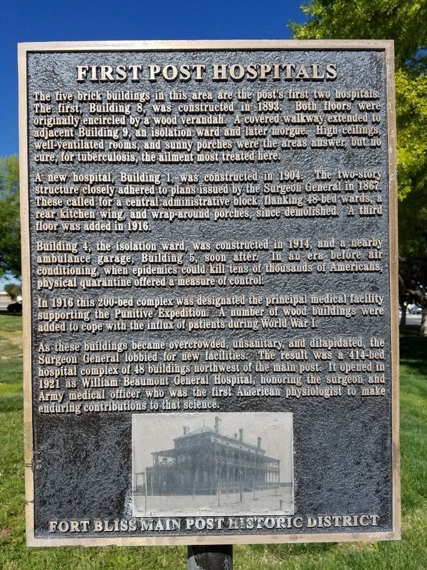
First Post Hospitals
Fort Bliss Main Post Historic District
A new hospital, Building 1, was constructed in 1904. The two-story structure closely adhered to plans issued by the Surgeon General in 1867. These called for a central administrative block, flanking 48-bed wards, a rear kitchen wing, and wrap-around porches since demolished. A third floor was added in 1916.
Building 4, the isolation ward, was constructed in 1914, and a nearby ambulance garage, Building 5, soon after. In an era before air conditioning, when epidemics could kill tens of thousands of Americans, physical quarantine offered a measure of control.
In 1916 this 200-bed complex was designated the principal medical facility supporting the Punitive Expedition. A number of wood buildings were added to cope with the influx of patients during World War I.
As these buildings became overcrowded, unsanitary, and dilapidated, the Surgeon General lobbied for new facilities. The result was a 414-bed hospital complex of 48 buildings northwest of the main post. It opened in 1921 as William Beaumont General Hospital, honoring the surgeon and Army medical officer who was the first American physiologist to make enduring contributions to that science.
Topics. This historical marker is listed in these topic lists: Forts and Castles • Science & Medicine • War, World I. A significant historical year for this entry is 1893.
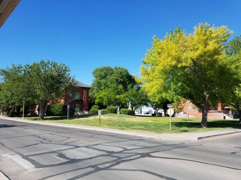
Location. 31° 49.271′ N, 106° 24.895′ W. Marker is in Fort Bliss, Texas, in El Paso County. Marker is at the intersection of Pershing Road and South Road on Pershing Road. Touch for map. Marker is in this post office area: Fort Bliss TX 79916, United States of America. Touch for directions.
Other nearby markers. At least 8 other markers are within one mile of this marker, measured as the crow flies. Pearl Harbor Memorial (approx. 0.6 miles away); Mexican War Refugee Camp (approx. 0.8 miles away); "General of the Army Omar N. Bradley Flagpole" (approx. 0.8 miles away); AH-1F COBRA Attack Helicopter (approx. 0.9 miles away); V2 Rocket (approx. 0.9 miles away); Building 1372 (approx. one mile away); Building 1355 (approx. one mile away); Second Expansion Period Group (approx. 1.1 miles away). Touch for a list and map of all markers in Fort Bliss.
Credits. This page was last revised on January 9, 2020. It was originally submitted on October 4, 2016, by Kevin W. of Stafford, Virginia. This page has been viewed 425 times since then and 24 times this year. Photos: 1, 2. submitted on October 4, 2016, by Kevin W. of Stafford, Virginia.

