Pierre Part in Assumption Parish, Louisiana — The American South (West South Central)
Virgin Island
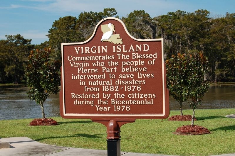
Photographed by Cajun Scrambler, September 30, 2016
1. Virgin Island Marker
Topics. This historical marker is listed in these topic lists: Disasters • Religion & Religious Structures • Settlements & Settlers.
Location. 29° 57.91′ N, 91° 12.753′ W. Marker is in Pierre Part, Louisiana, in Assumption Parish. It is on Bayou Drive West half a mile south of Lee Drive. Located on Virgin Island. Touch for map. Marker is in this post office area: Pierre Part LA 70339, United States of America. Touch for directions.

Regionally, this marker is in one of the River Parishes and in Acadiana — Cajun Country. It is also in the American South, specifically in the Deep South, on the Gulf Coast, and in the Great River Road Region. Globally, it is in North America, a Gulf of Mexico state, the Western Hemisphere, the Western World, and the Anglosphere. Historically, it finds itself in what was once New Spain, Acadia, the territory of the Mississippian
this page online
Other nearby markers. At least 8 other markers are within 12 miles of this marker, measured as the crow flies: Pierre Part Bay (within shouting distance of this marker); a different marker also named Virgin Island (about 800 feet away, measured in a direct line); Pierre Part Veterans Park Memorial (approx. 1.3 miles away); Grand Bayou (approx. 6 miles away); Christ Episcopal Church (approx. 11.3 miles away); Great War Memorial (approx. 11.4 miles away); Assumption Parish WWII Memorial (approx. 11.4 miles away); Napoleonville (approx. 11.4 miles away). Touch for a list and map of all markers in Pierre Part.
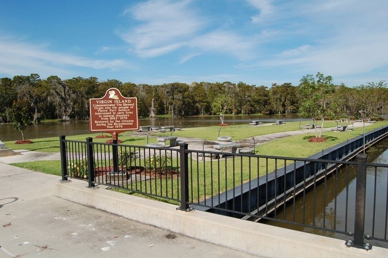
Photographed by Cajun Scrambler, September 30, 2016
2. Virgin Island Marker
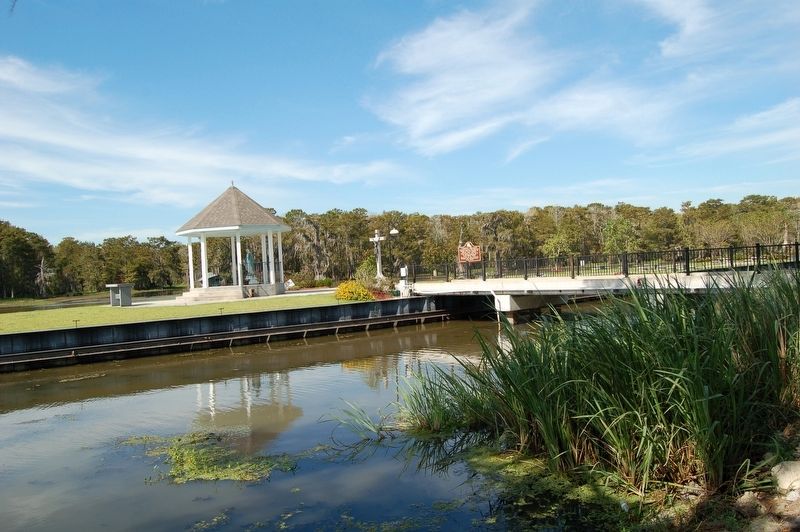
Photographed by Cajun Scrambler, September 30, 2016
3. Virgin Island Marker
Credits. This page was last revised on March 12, 2022. It was originally submitted on October 5, 2016. This page has been viewed 655 times since then and 36 times this year. Photos: 1, 2, 3. submitted on October 5, 2016, by Cajun Scrambler of Assumption, Louisiana. • Bernard Fisher was the editor who published this page.
