Old Fort in McDowell County, North Carolina — The American South (South Atlantic)
Andrews Geyser
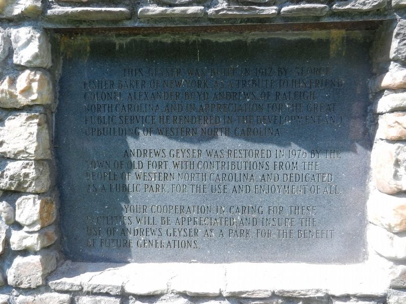
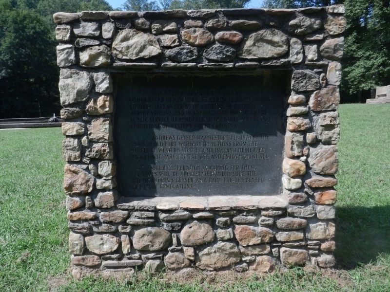
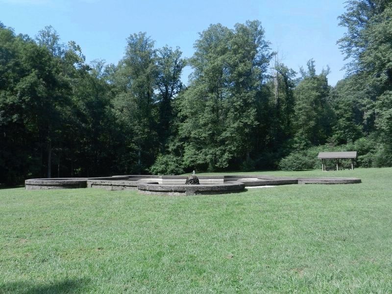
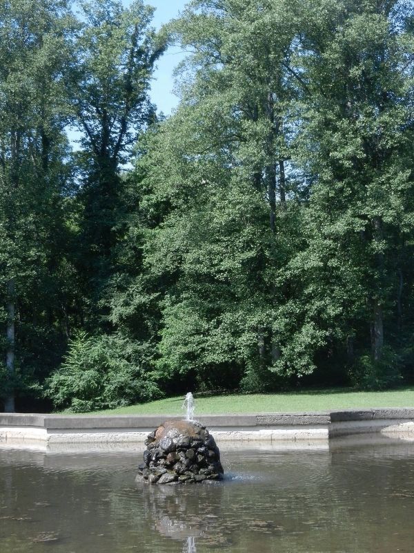
Andrews Geyser was restored in 1976 by the Town of Old Fort, with contributions from the people of western North Carolina, and dedicated as a public park, for the use and enjoyment of all.
Your cooperation in caring for these facilities will be appreciated and insure the use of Andrews Geyser as a park, for the benefit of future generations.
Topics. This historical marker is listed in these topic lists: Charity & Public Work • Industry & Commerce • Man-Made Features. A significant historical year for this entry is 1912.
Location. 35° 39.078′ N, 82° 14.482′ W. Marker is in Old Fort, North Carolina, in McDowell County. Marker is on Mill Creek Road (County Road 1407) 0.4 miles south of Graphite Road, on the right when traveling south. Touch for map. Marker is at or near this postal address: 2345 Mill Creek Rd, Old Fort NC 28762, United States of America. Touch for directions.
Other nearby markers. At least 8 other markers are within 4 miles of this marker, measured as the crow flies. A different marker also named Andrews Geyser (approx. 1.7 miles away); Swannanoa Gap Engagement (approx. 2.7 miles away); Swannanoa Tunnel (approx. 2.7 miles away); Swannanoa Gap (approx. 2.8 miles away); Stoneman's Raid (approx. 3 miles away); Lake Susan (approx. 3.3 miles away); Boone Trail Highway (approx. 3.3 miles away); Montreat's Rich Heritage is a Place of Renewal (approx. 3.3 miles away).
Credits. This page was last revised on October 10, 2019. It was originally submitted on October 8, 2016. This page has been viewed 339 times since then and 19 times this year. Photos: 1, 2, 3, 4, 5, 6. submitted on October 8, 2016. • Bernard Fisher was the editor who published this page.


