Tonawanda in Erie County, New York — The American Northeast (Mid-Atlantic)
Grand Island Ferry
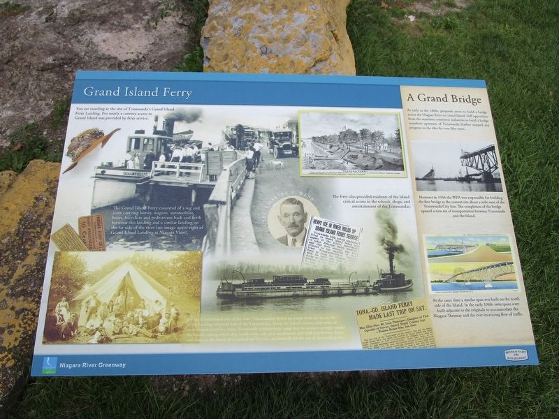
The Grand Island Ferry consisted of a tug and scow carrying horses, wagons, automobiles, buses, bicyclists and pedestrians back and forth between this landing and a similar landing on the far side of the river (see image upper right of Grand Island Landing at Niagara View).
The ferry also provided residents of the Island critical access to the schools, shops, and entertainment of the Tonawandas.
On the Grand Island side of the river, Tonawandans found an escape from the hectic life of the bustling industrial hub of the Tonawandas. Along the Island's twenty-plus miles of undeveloped shoreline, many Tonawanda residents kept camp sites or summer cottages amidst the bucolic setting where they could swim, raft, pick mushrooms and wild strawberries, listen and dance to the music of a cranked-up Victrola, and basically let the rest of the world go by.
A Grand Bridge
As early as the 1880, proposals arose to build a bridge across the Niagara River to Grand Island. Stiff opposition from the maritime commerce industries to build a bridge anywhere upstream of Tonawanda Harbor stopped any progress on the idea for over fifty years.
However in 1934 the WPA was responsible for building the first bridge at the current site about a mile west of the Tonawanda City line. The completion of the bridge opened a new era of transportation between Tonawanda and the Island.
At the same time a similar span was built on the north side of the island. In the early 1960s twin spans were built adjacent to the originals to accommodate the Niagara Thruway and the ever-increasing flow of traffic.
Erected by Historical Society of the Tonawandas.
Topics. This historical marker is listed in these topic lists: Bridges & Viaducts • Waterways & Vessels. A significant historical year for this entry is 1880.
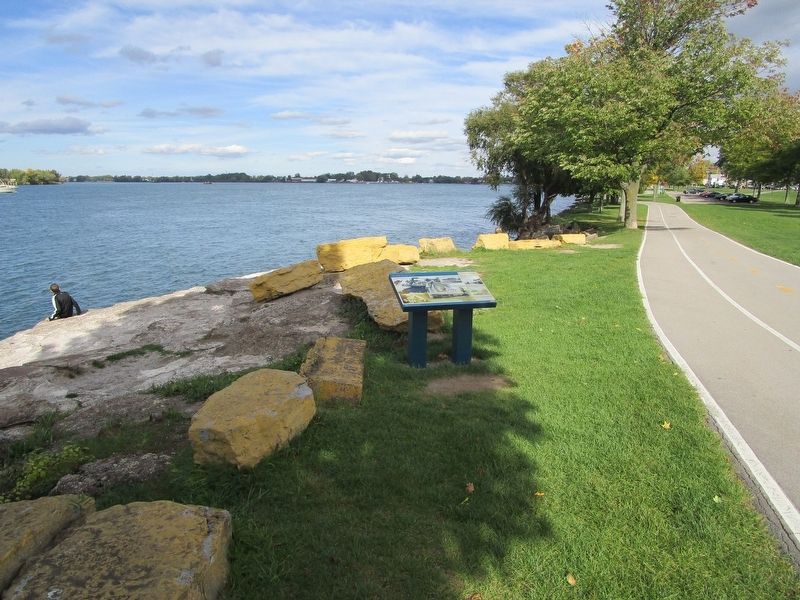
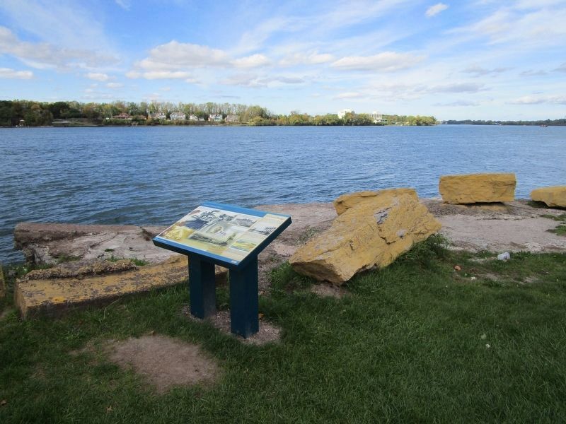
Location. 43° 0.887′ N, 78° 53.792′ W. Marker is in Tonawanda, New York, in Erie County. Marker can be reached from River Road (New York State Route 266) 0.1 miles north of Gibson Street. Marker is on the riverwalk in Niawanda Park. It is along River Road, opposite Gibson Street. Touch for map. Marker is in this post office area: Tonawanda NY 14150, United States of America. Touch for directions.
Other nearby markers. At least 8 other markers are within walking distance of this marker. Engineering the Erie Canal (a few steps from this marker); The Brewery (about 700 feet away, measured in a direct line); Erie Canal Site (approx. ¼ mile away); Great Ships of the Niagara (approx. ¼ mile away); Tonawanda Veterans Memorial
(approx. half a mile away); Dedicated to the Memory (approx. 0.6 miles away); Westward to Buffalo (approx. 0.6 miles away); To The Glory of God and in Grateful Remembrance (approx. 0.6 miles away). Touch for a list and map of all markers in Tonawanda.
Regarding Grand Island Ferry. Both of the Grand Island bridges were twined. Now the four Grand Island bridges carry I-190 across the Island.
Credits. This page was last revised on October 8, 2016. It was originally submitted on October 8, 2016, by Anton Schwarzmueller of Wilson, New York. This page has been viewed 576 times since then and 75 times this year. Photos: 1, 2, 3. submitted on October 8, 2016, by Anton Schwarzmueller of Wilson, New York.


