Middletown in Lower Connecticut River Valley Region, Connecticut — The American Northeast (New England)
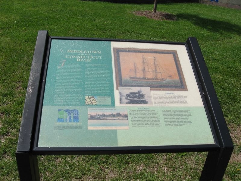
Middletown and the Connecticut River
Photographed by Michael Herrick, May 18, 2016
1. Middletown and the Connecticut River Marker
If you stood here in the late 1700s looking east toward the Connecticut River a forest of ship masts would bob before your eyes. On docks lining the riverside, sailors and merchants bustled back and forth to tall ships which had just arrived in port, or would soon set sail.
From Middletown's earliest days, the river had shaped the town's character and development. By the 1660s, shipyards here were busily building vessels. Soon Middletown merchants developed a thriving trade with ports along the East Coast, in the West Indies, and even in Europe. By the late 18th century, the maritime trade had made this Connecticut's most populous city. Thousands of local men and boys became sailors, many of whom never returned to Middletown, dying in shipwrecks or from tropical fevers.
Steamboats plied the river as early as 1815. In 1822 a Middletown man named William C. Redfield piloted his side-wheel steamer between Hartford and New York stopping here on the way. For over a century, steamboats carried passengers and freight in and out of Middletown, encouraging local manufacturers who could now ship their goods all over the World.
this page online
The first bridge spanning the Connecticut River at Middletown was the Air Line Railroad's swing bridge that opened in 1872 and still stands today. In 1896 a drawbridge linked Middletown and Portland; today the graceful suspension bridge of 1938, the Arrigoni Bridge crosses the river at about the same place.
Middletown's connection to the river began to wane in the 20th century especially after the construction of Route 9, which separated the downtown from the river that once gave it its character. But the river still draws people down to its banks-now a restful public park-and each autumn brings thousands of spectators to watch college crew teams race in the Head of the Connecticut Regatta.
Photographed by Michael Herrick, May 18, 2016
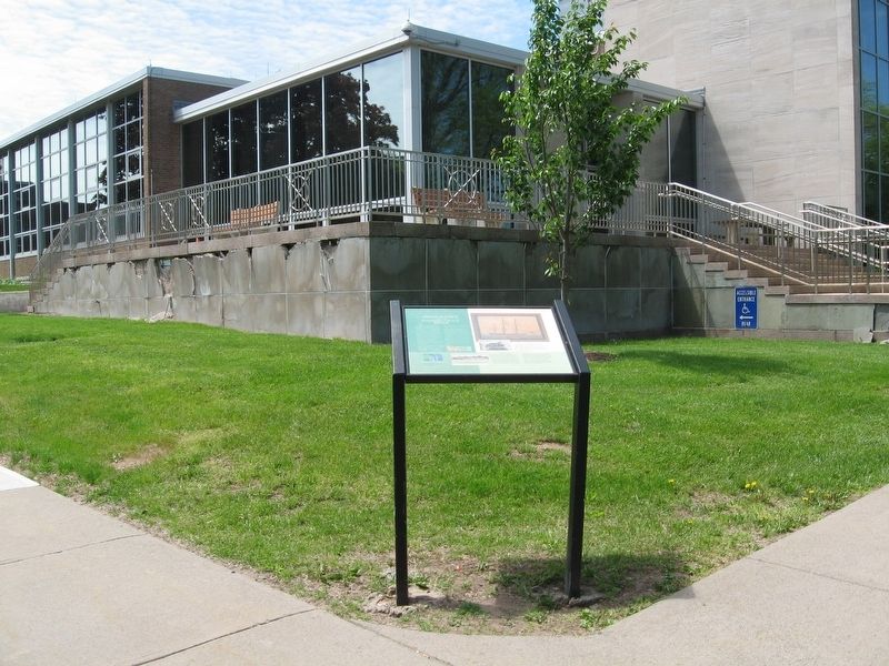
2. Middletown and the Connecticut River Marker
Erected by the Middlesex County Historical Society.
Topics. This historical marker is listed in these topic lists: Industry & Commerce • Settlements & Settlers • Waterways & Vessels.
Location. 41° 33.686′ N, 72° 38.861′ W. Marker is in Middletown in Lower Connecticut River Valley Region, Connecticut. It is at the intersection of Court Street and deKoven Avenue, on the left when traveling east on Court Street. Touch for map. Marker is in this post office area: Middletown CT 06457, United States of America. Touch for directions.

Regionally, this marker is in the Connecticut River Valley and on the Connecticut Shoreline. It is also in the American Northeast, in New England, and on the Eastern Seaboard. Globally, it is in the North Atlantic Region, North America, the Western Hemisphere, the Western World, and the Anglosphere. Historically, it finds itself in what was once Middlesex County and also one of the original Thirteen Colonies.
Other nearby markers. At least 8 other markers are within walking distance of this marker: Old City Hall Bell (within shouting distance of this marker); The UNESCO Slave Route Project (about 400 feet away, measured in a direct line); deKoven House Community Center (about 600 feet away); Middletown in the 1900s (about 600 feet away); Middletown in the 1800s (about 600 feet away); Middletown in the 1700s (about 600 feet away); Middletown in the 1600s (about 600 feet away); The deKoven House (about 600 feet away). Touch for a list and map of all markers in Middletown.
More about this marker. Weather has affected the clarity of the text and pictures. The Middlesex County Historical Society generously aided in transcribing this marker.
Credits. This page was last revised on May 19, 2026. It was originally submitted on October 9, 2016, by Michael Herrick of Southbury, Connecticut. This page has been viewed 948 times since then and 51 times this year. Photos: 1, 2. submitted on October 9, 2016, by Michael Herrick of Southbury, Connecticut.
