Clare in Clare County, Michigan — The American Midwest (Great Lakes)
Clare Congregational Church
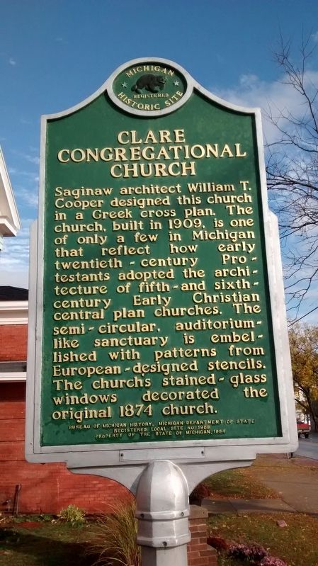
Photographed by Joel Seewald, October 24, 2015
1. Clare Congregational Church Marker
Erected 1994 by Bureau of Michigan History, Michigan Department of Staete. (Marker Number L1909.)
Topics and series. This historical marker is listed in this topic list: Religion & Religious Structures. In addition, it is included in the Michigan Historical Commission series list. A significant historical year for this entry is 1909.
Location. 43° 49.189′ N, 84° 46.178′ W. Marker is in Clare, Michigan, in Clare County. It is at the intersection of West 5th Street (State Highway 115) and Beech Street, on the right when traveling west on West 5th Street. Touch for map. Marker is at or near this postal address: 110 West 5th Street, Clare MI 48617, United States of America. Touch for directions.

Regionally, this marker is in the American Midwest. Globally, it is in North America, the Great North Woods, the Western Hemisphere, the Western World, and the Anglosphere. Historically, it finds itself in what was once the Northwest Territory.
Other nearby markers. At least 8 other markers are within 14 miles of this marker, measured as the crow flies: Michigan's Petroleum Industry (approx. 2.1 miles away); Jay's Sporting Goods (approx. 2.8 miles away); Farwell Area Historical Museum (approx. 5.1 miles away); Logging Railroads (approx. 7.6 miles away); Indian Mills (approx. 13.4 miles away); Those Who Fought and Died (approx. 13.9 miles away); Veterans Freedom Park
this page online
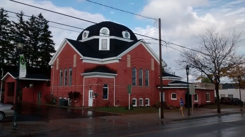
Photographed by Joel Seewald, October 24, 2015
2. Clare Congregational Church and Marker
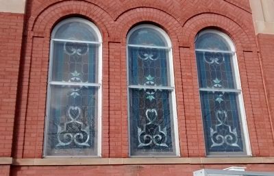
Photographed by Joel Seewald, October 24, 2015
3. Clare Congregational Church Windows
Credits. This page was last revised on March 24, 2021. It was originally submitted on October 16, 2016, by Joel Seewald of Madison Heights, Michigan. This page has been viewed 620 times since then and 35 times this year. Photos: 1, 2, 3. submitted on October 16, 2016, by Joel Seewald of Madison Heights, Michigan.
