Romulus in Wayne County, Michigan — The American Midwest (Great Lakes)
Morris Homestead
Side 1
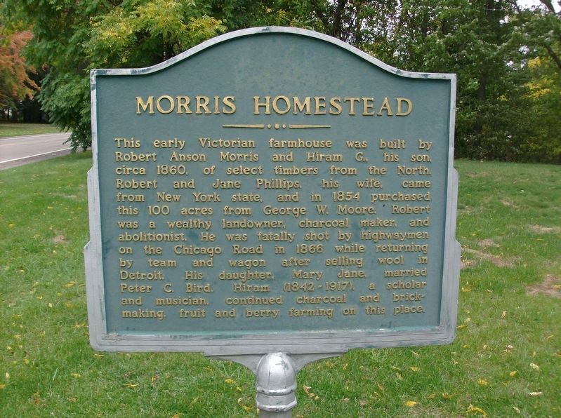
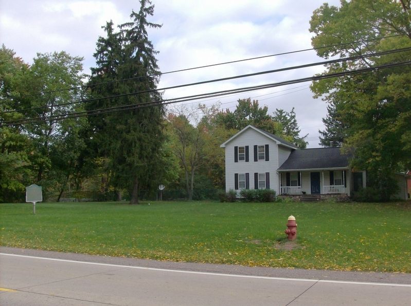
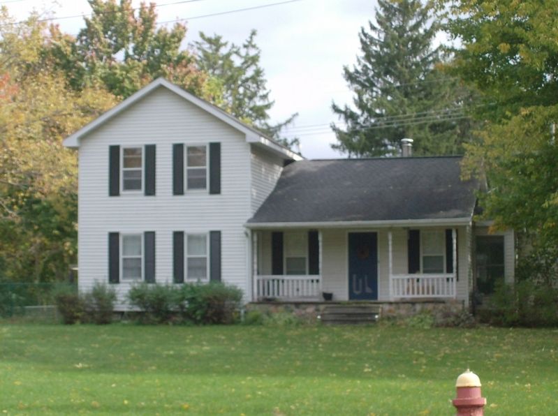
This early Victorian farmhouse was built by Robert Anson Morris and Hiram G., his son, circa 1860, of select timbers from the North. Robert and Jane Phillips, his wife, came from New York state, and in 1854 purchased this 100 acres from George W. Moore. Robert was a wealthy landowner, charcoal maker, and abolitionist. He was fatally shot by highwaymen on the Chicago Road in 1866 while returning by team and wagon after selling wool in Detroit. His daughter, Mary Jane, married Peter C. Bird. Hiram (1842-1917), a scholar and musician, continued charcoal and brickmaking, fruit and berry farming on this place.
Side 2
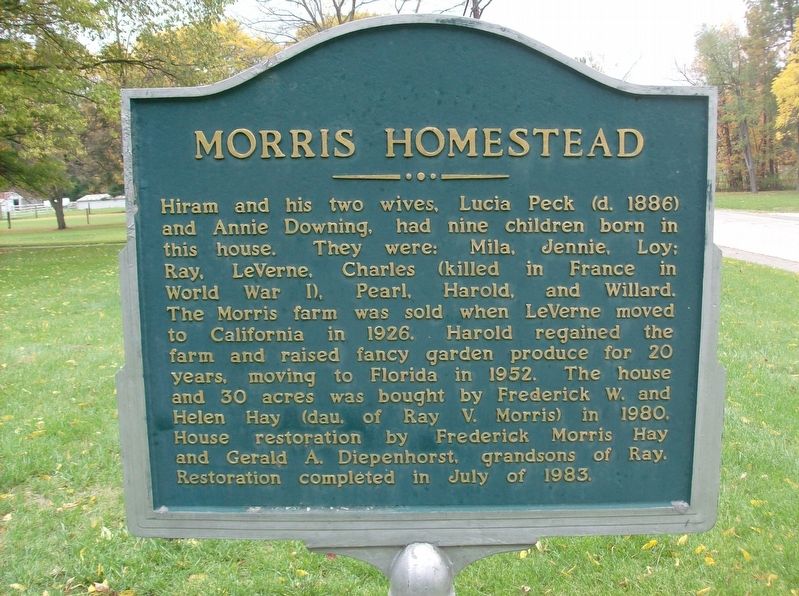
Hiram and his two wives, Lucia Peck (d. 1886) and Annie Downing, had nine children born in this house. They were: Mila, Jennie, Loy; Ray, LeVerne, Charles (killed in France in World War I), Pearl, Harold, and Willard. The Morris farm was sold when LeVerne moved to California in 1926. Harold regained the farm and raised fancy garden produce for 20 years, moving to Florida in 1952. The house and 30 acres was bought by Frederick W. and Helen Hay (dau. of Ray V. Morris) in 1980. House restoration by Frederick Morris Hay and Gerald A. Diepenhorst, grandsons of Ray. Restoration completed in July of 1983.
Topics. This historical marker is listed in these topic lists: Agriculture • Patriots & Patriotism • Settlements & Settlers. A significant historical month for this entry is July 1983.
Location. 42° 12.097′ N, 83° 24.249′ W. Marker is in Romulus, Michigan, in Wayne County. Marker is on South Huron River Drive, 0.6 miles south of Northline Road. Touch for map. Marker is at or near this postal address: 13925 South Huron River Drive, Romulus MI 48174, United States of America. Touch for directions.
Other nearby markers. At least 8 other markers are within 3 miles of this marker, measured as the crow flies. Merrill-Morris House (within shouting distance of this marker); Our Boys Who Served In The World War (approx. 1˝ miles away); Romulus Memorial Cemetery (approx. 1.9 miles away); Romulus Memorial Cemetery Veterans Memorial (approx. 2 miles away); French Landing Dam and Powerhouse (approx. 2 miles away); Veterans Memorial (approx. 2.7 miles away); New Boston Veterans Memorial (approx. 2.8 miles away); Nowland Cemetery (approx. 3.1 miles away). Touch for a list and map of all markers in Romulus.
Credits. This page was last revised on May 3, 2018. It was originally submitted on October 18, 2016, by Joel Seewald of Madison Heights, Michigan. This page has been viewed 618 times since then and 58 times this year. Photos: 1, 2, 3, 4. submitted on October 18, 2016, by Joel Seewald of Madison Heights, Michigan.


