Burkesville in Cumberland County, Kentucky — The American South (East South Central)
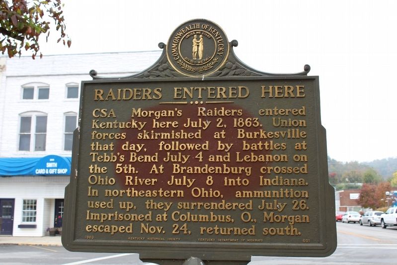
Raiders Entered Here
Erected 1963 by Kentucky Historical Society & Kentucky Department of Highways. (Marker Number 601.)
Topics. This historical marker is listed in this topic list: War, US Civil. A significant historical date for this entry is July 2, 1863.
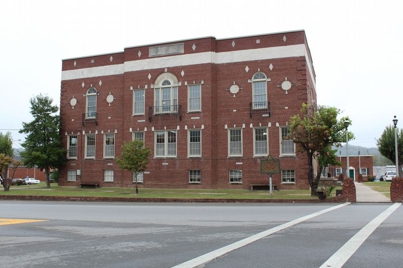
Location. 36° 47.409′ N, 85° 22.243′ W. Marker is in Burkesville, Kentucky, in Cumberland County. Marker is at the intersection of North Main Street (Kentucky Route 61) and Hill Street, on the left when traveling south on North Main Street. Marker located on Courthouse Square. Touch for map. Marker is in this post office area: Burkesville KY 42717, United States of America. Touch for directions.
Other nearby markers. At least 8 other markers are within walking distance of this marker. Lincoln's Father Here (a few steps from this marker); Cumberland Countians War Memorial (a few steps from this marker); Smith Pharmacy (a few steps from this marker); The Coe Family / The Coes of Cumberland County (a few steps from this marker); Cumberland County (within shouting distance of this marker); Morgan On To Ohio (within shouting distance of this marker); Dedicated to Dr. Joseph Schickel (approx. 0.2 miles away); The History of Cumberland County (approx. ¼ mile away). Touch for a list and map of all markers in Burkesville.
Credits. This page was last revised on October 19, 2016. It was originally submitted on October 18, 2016, by Tom Bosse of Jefferson City, Tennessee. This page has been viewed 406 times since then and 32 times this year. Photos: 1, 2. submitted on October 18, 2016, by Tom Bosse of Jefferson City, Tennessee. • Bernard Fisher was the editor who published this page.

