Mooresville in Morgan County, Indiana — The American Midwest (Great Lakes)
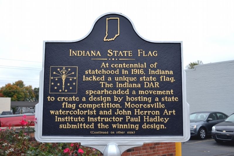
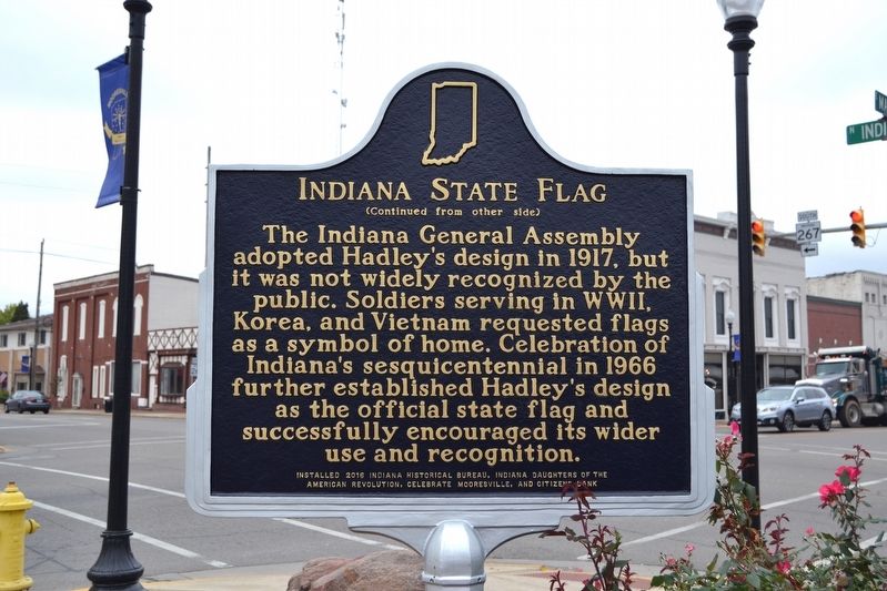
Indiana State Flag
The Indiana General Assembly adopted Hadley’s design in 1917, but it was not widely recognized by the public. Soldiers serving in WWII, Korea, and Vietnam requested flags as a symbol of home. Celebration of Indiana’s sesquicentennial in 1966 further established Hadley’s design as the official state flag and successfully encouraged its wider use and recognition.
Erected 2016 by Indiana Historical Bureau, Indiana Daughters of the American Revolution, Celebrate Mooresville, and Citizen Bank. (Marker Number 55.2016.1.)
Topics and series. This historical marker is listed in this topic list: Arts, Letters, Music. In addition, it is included in the Daughters of the American Revolution, and the Indiana Historical Bureau Markers series lists. A significant historical year for this entry is 1916.
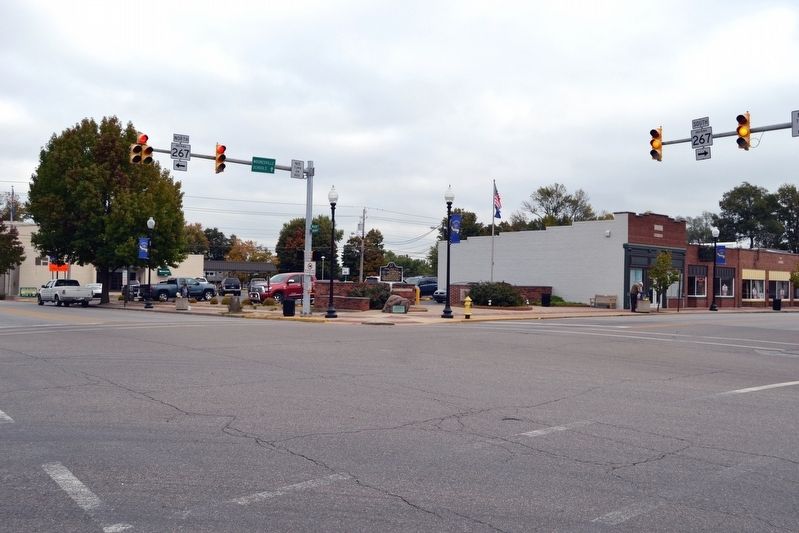
Location. 39° 36.775′ N, 86° 22.484′ W. Marker is in Mooresville, Indiana, in Morgan County. Marker is at the intersection of E. Main Street and N. Indiana Street, on the right when traveling west on E. Main Street. Touch for map. Marker is in this post office area: Mooresville IN 46158, United States of America. Touch for directions.
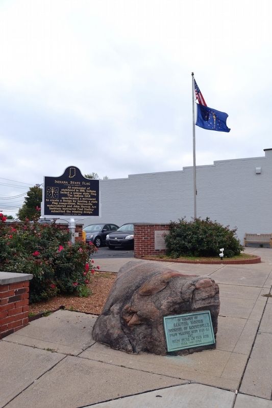
Other nearby markers. At least 8 other markers are within 7 miles of this marker, measured as the crow flies. Samuel Moore (here, next to this marker); Sugar Grove Meeting House (approx. 4˝ miles away); West Union Friends Meeting (approx. 5.2 miles away); Hubbard Mill (approx. 5.8 miles away); Monrovia High School (approx. 6.1 miles away); Branch McCracken (approx. 6.1 miles away); T.H.I. & E. Interurban Depot Building (approx. 6.2 miles away); Eat (approx. 6.4 miles away).
Also see . . . IHB Annotated Text for Marker. The Indiana Historical Bureau (IHB) provides notes giving explanations and comments on the marker’s inscription. The link is to the IHB page for the marker with the annotated text. (Submitted on October 21, 2016.)
Credits. This page was last revised on October 21, 2016. It was originally submitted on October 21, 2016, by Duane Hall of Abilene, Texas. This page has been viewed 282 times since then and 18 times this year. Photos: 1, 2, 3, 4. submitted on October 21, 2016, by Duane Hall of Abilene, Texas.


