Near Fort Oglethorpe in Catoosa County, Georgia — The American South (South Atlantic)
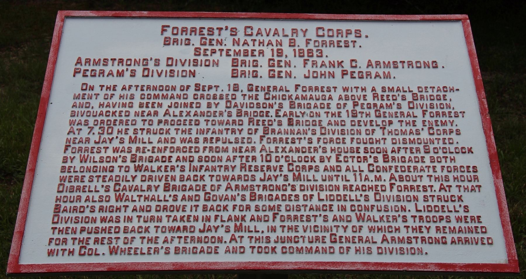
Forrest's Cavalry Corps
Army of Tennessee
— Brigadier General Nathan B. Forrest —
Brigadier General Nathan B. Forrest.
September 19, 1863.
Armstrong's Division - Brigadier General Frank C. Armstrong.
Pegram's Division - Brigadier General John Pegram.
On the afternoon of September 18, General Forrest with a small detachment of his command crossed the Chickamauga above Reed's Bridge, and, having been joined by Davidson's Brigade of Pegram's Division, bivouacked near Alexander's Bridge. Early on the 19th General Forrest was ordered to proceed toward Reed's Bridge and develop the enemy. At 7:30 he struck the infantry of Brannan's Division of Thomas' Corps near Jay's Mill and was repulsed. Forrest's force fought dismounted. Forrest was re-enforced from near Alexander's house soon after 9 o'clock by Wilson's Brigade and soon after 10 o'clock by Ector's Brigade both belonging to Walker's Infantry Reserve Corps and all Confederate forces were steadily driven back towards Jay's Mill until 11 a.m. About this hour Dibrell's Cavalry Brigade of Armstrong's division reached Forrest. At that hour also Walthall's and Govan's Brigades of Liddell's Division struck struck Baird's right and drove it back for some distance in confusion. Liddell's Division was in turn taken in flank and Forrest's and Walker's troops were then pushed back toward Jay's Mill, in the vicinity of which they remained for the rest of the afternoon. At this juncture General Armstrong arrived with Colonel Wheeler's Brigade and took command of his Division.
Erected 1890 by the Chickamauga and Chattanooga National Military Park Commission. (Marker Number MT-477.)
Topics. This historical marker is listed in this topic list: War, US Civil. A significant historical date for this entry is September 19, 1863.
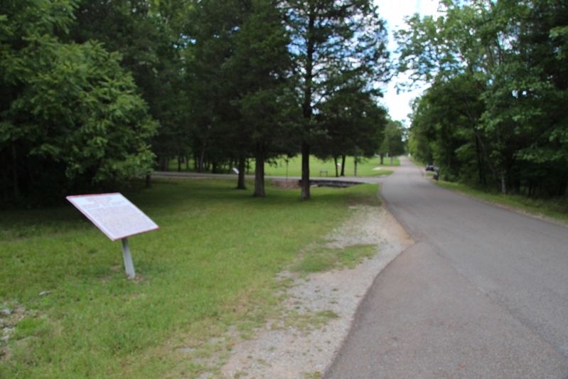
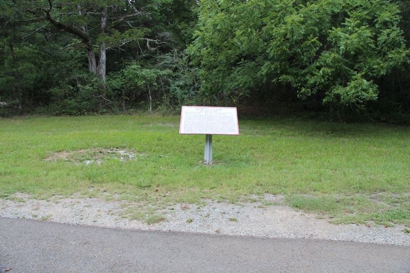
Location. 34° 55.689′ N, 85° 13.802′ W. Marker is near Fort Oglethorpe, Georgia, in Catoosa County. Marker is on Jays Mill Road south of Brotherton Road, on the left when traveling north. This monument is located in the national park that preserves the site of the Chickamauga Battlefield, along a park roadway. Touch for map. Marker is in this post office area: Fort Oglethorpe GA 30742, United States of America. Touch for directions.
Other nearby markers. At least 8 other markers are within walking distance of this marker. Davidson's Brigade (within shouting distance of this marker); Polk's Brigade (within shouting distance of this marker); The Armies Engage (about 300 feet away, measured in a direct line); Huwald's Tennessee Battery (about 400 feet away); Pegram's Division (about 500 feet away); Confederates Cross the Creek (approx. 0.2 miles away); Minty's Cavalry Brigade (approx. 0.2 miles away); 4th United States Cavalry (approx. 0.2 miles away). Touch for a list and map of all markers in Fort Oglethorpe.
More about this marker. I used the "Chickamauga Battlefield" map, that I purchased at the Chickamauga and Chattanooga National Military Park, Visitor Center, to determine both the marker number for this tablet and the tablet's location in relation to the rest of the park's monuments, markers, and tablets. According to the map it provides the, "numerical listing of all monuments, markers, and tablets on the Chickamauga Battlefield (using the Chick-Chatt NMP Monument Numbering System).”
Credits. This page was last revised on July 3, 2017. It was originally submitted on October 24, 2016, by Dale K. Benington of Toledo, Ohio. This page has been viewed 412 times since then and 32 times this year. Photos: 1, 2, 3, 4. submitted on October 24, 2016, by Dale K. Benington of Toledo, Ohio.


