Forest Hill in Summers County, West Virginia — The American South (Appalachia)
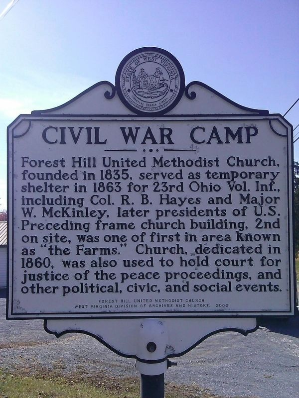
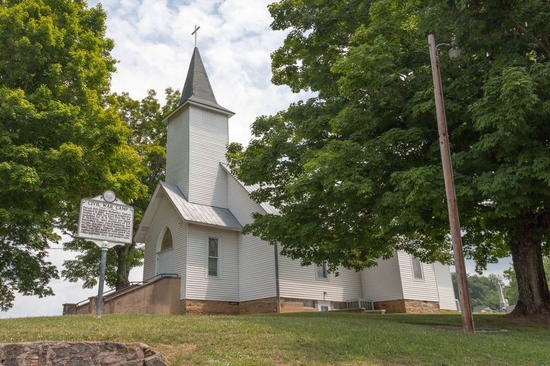
Civil War Camp
Erected 2002 by Forest Hill United Methodist Church, West Virginia Division of Archives and History.
Topics and series. This historical marker is listed in these topic lists: Churches & Religion • Government & Politics • War, US Civil. In addition, it is included in the West Virginia Archives and History series list. A significant historical year for this entry is 1863.
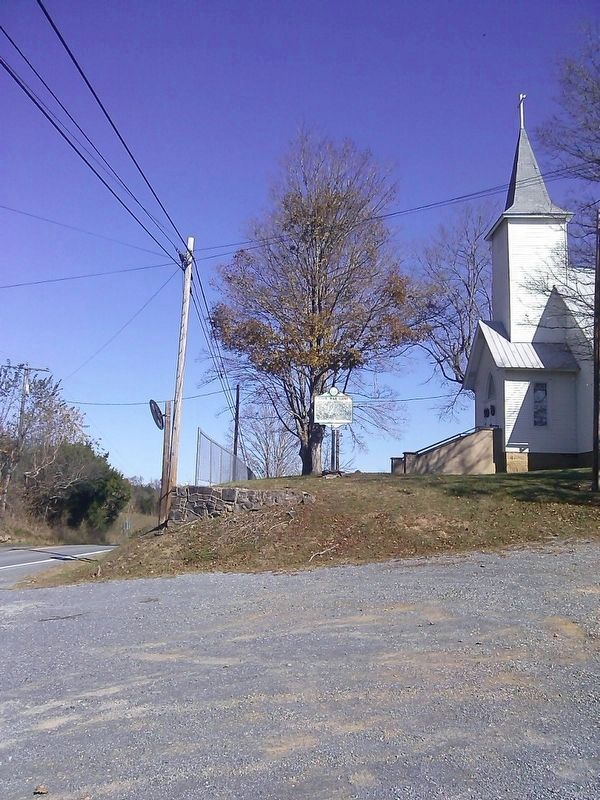
Location. 37° 34.218′ N, 80° 47.35′ W. Marker is in Forest Hill, West Virginia, in Summers County. Marker is at the intersection of West Virginia Route 12 and Seminole Road (County Route 21/1), on the right when traveling north on State Route 12. Touch for map. Marker is in this post office area: Forest Hill WV 24935, United States of America. Touch for directions.
Other nearby markers. At least 8 other markers are within 6 miles of this marker, measured as the crow flies. Mike Foster (approx. 0.2 miles away); Summers County / Monroe County (approx. 2.1 miles away); Red Sulphur Springs (approx. 4.1 miles away); Here Stood a Statue of John Henry (approx. 5.6 miles away); Great Bend Tunnel (approx. 5.6 miles away); Why The Tunnel Was Built (approx. 5.6 miles away); a different marker also named Great Bend Tunnel (approx. 5.6 miles away); The Legend Of John Henry (approx. 5.6 miles away).
Credits. This page was last revised on March 23, 2023. It was originally submitted on October 25, 2016, by Roger Miller of Pulaski, Virginia. This page has been viewed 536 times since then and 40 times this year. Photos: 1, 2. submitted on October 25, 2016, by Roger Miller of Pulaski, Virginia. 3. submitted on August 9, 2021, by J. J. Prats of Powell, Ohio. • Bernard Fisher was the editor who published this page.


