Pilot Knob in Iron County, Missouri — The American Midwest (Upper Plains)
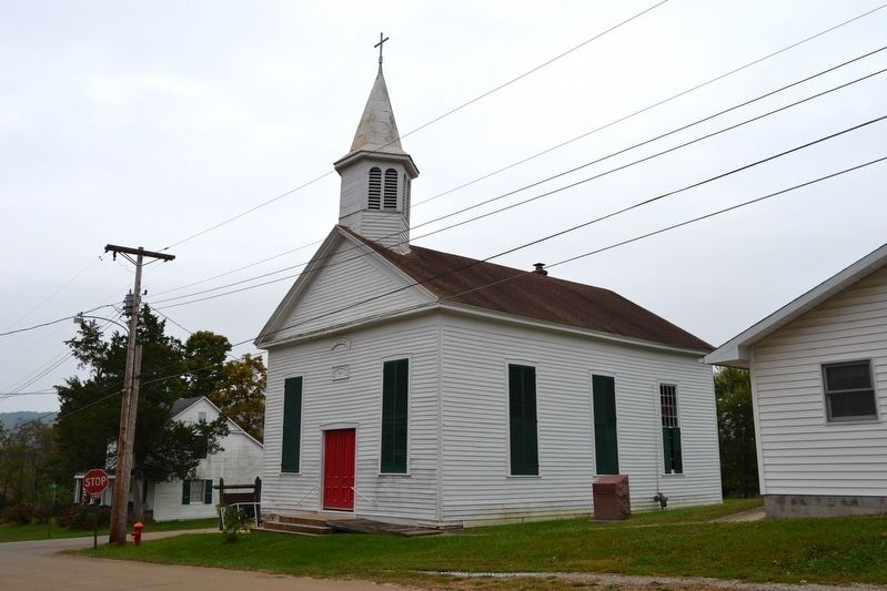
Immanuel Lutheran Church
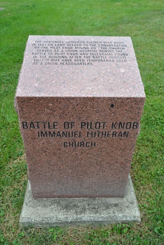
Battle of Pilot Knob
Inscription.
The Immanuel Lutheran Church was built in 1861 on land deeded to the congregation by the Pilot Knob Mining Co. The church served as a Union hospital during the Battle of Pilot Knob and telegrams found in the building after the battle indicate that it may have been temporarily used as a Union headquarters.
Topics. This historical marker is listed in these topic lists: Churches & Religion • War, US Civil. A significant historical year for this entry is 1861.
Location. 37° 37.583′ N, 90° 38.472′ W. Marker is in Pilot Knob, Missouri, in Iron County. Marker is at the intersection of Zeigler Street and Pine Street, on the left when traveling north on Zeigler Street. Touch for map. Marker is in this post office area: Pilot Knob MO 63663, United States of America. Touch for directions.
Other nearby markers. At least 8 other markers are within walking distance of this marker. Railroad Depot (approx. 0.3 miles away); St. Mary's Catholic Church (approx. 0.3 miles away); The Struggle for the Mountains (approx. 0.4 miles away); The Fight for Ironton (approx. 0.4 miles away); Fort Davidson (approx. 0.4 miles away); The Doomed Assault (approx. 0.4 miles away); Pilot Knob Mountain (approx. 0.4 miles away); The Union Church at Pilot Knob (approx. 0.4 miles away). Touch for a list and map of all markers in Pilot Knob.
More about this marker. The marker is one of 16 Missouri red granite historical markers interpreting the Battle of Pilot Knob and is Marker #13 on the Battle of Pilot Knob Driving Tour.
Also see . . .
1. Battle of Pilot Knob State Historic Site. The official website of this state park. (Submitted on October 29, 2016.)
2. Tour: The Battle of Pilot Knob. A detailed virtual tour of the battle from The Civil War Muse. (Submitted on October 29, 2016.)
Credits. This page was last revised on November 13, 2022. It was originally submitted on October 29, 2016, by Duane Hall of Abilene, Texas. This page has been viewed 330 times since then and 28 times this year. Photos: 1, 2. submitted on October 29, 2016, by Duane Hall of Abilene, Texas.

