Gold Hill in Jackson County, Oregon — The American West (Northwest)
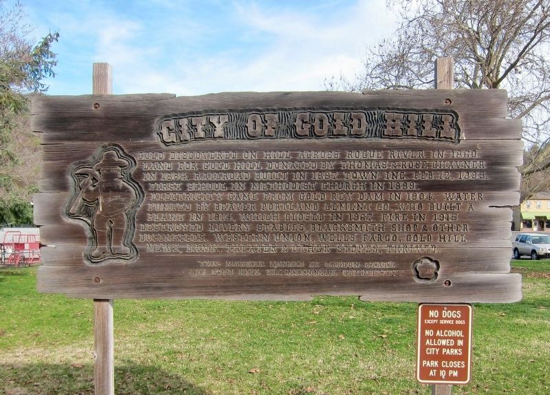
City of Gold Hill
Gold discovered on hill across Rogue River in 1860. Land for Gold Hill donated by Thomas & Rose Chavner in 1884. Railroad built in 1887. Town Inc. Feb. 12, 1895. First school in Methodist Church in 1889. Electricity came from Gold Rey Dam in 1904. Water pumped by Beaver Portland Cement Co., who built a plant in 1914, which closed in 1967. Fire in 1915 destroyed livery stables, blacksmith shop & other businesses. Western Union, Wells Fargo, Gold Hill News, bank, theater & other stores, thrived.
This marker funded by Oregon State
and Gold Hill Bicentennial Committees
Erected by State of Oregon, Gold Hill Bicentennial Committees.
Topics. This historical marker is listed in these topic lists: Education • Industry & Commerce • Railroads & Streetcars • Settlements & Settlers. A significant historical date for this entry is February 12, 1895.
Location. 42° 25.886′ N, 123° 2.988′ W. Marker is in Gold Hill, Oregon, in Jackson County. Marker is on 2nd Avenue west of Dardanelles Street, on the right when traveling west. Touch for map. Marker is in this post office area: Gold Hill OR 97525, United States of America. Touch for directions.
Other nearby markers. At least 8 other markers are within 3 miles of this marker, measured as the crow flies. Dardanelles (approx. 0.6 miles away); The Salmon Ceremony at Ti'lomikh Falls (approx. 0.9 miles away); a different marker also named The Salmon Ceremony at Ti'lomikh Falls (approx. 0.9 miles away); Safety Follows Wisdom (approx. 1.9 miles away); The Lure of Gold (approx. 2 miles away); The Takelma (approx. 2 miles away); Rock Point Bridge (approx. 2.1 miles away); Rock Point Hotel (approx. 2.1 miles away). Touch for a list and map of all markers in Gold Hill.
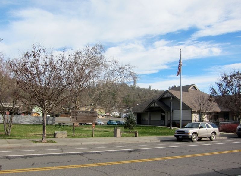
More about this marker. The marker is in Gold Hill City Park, immediately adjacent to the public library.
Also see . . . Gold Hill. Colorado Encyclopedia website entry (Submitted on March 3, 2023, by Larry Gertner of New York, New York.)
Credits. This page was last revised on April 15, 2024. It was originally submitted on November 1, 2016, by Andrew Ruppenstein of Lamorinda, California. This page has been viewed 401 times since then and 38 times this year. Photos: 1, 2. submitted on November 1, 2016, by Andrew Ruppenstein of Lamorinda, California.

