Near Fort Oglethorpe in Catoosa County, Georgia — The American South (South Atlantic)
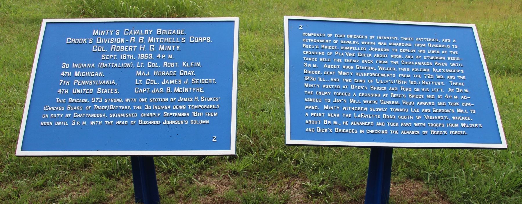
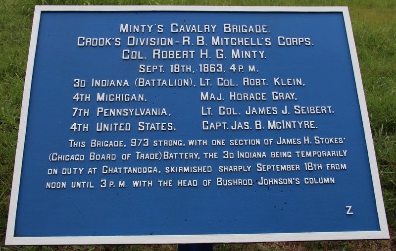
Minty's Cavalry Brigade
Crook's Division
— R. B. Mitchell's Corps —
Crook's Division - R. B. Mitchell's Corps.
Colonel Robert H. G. Minty.
September 18th, 1863, 4 p.m.
3d Indiana (Battalion), - Lieutenant Colonel Robert Klein.
4th Michigan - Major Horace Gray.
7th Pennsylvania - Lieutenant Colonel James J. Seibert.
4th United States - Captain James B. McIntyre.
This Brigade, 973 strong, with one section of James H. Stokes' (Chicago Board of Trade) Battery, the 3d Indiana being temporarily on duty at Chattanooga, skirmished sharply September 18th from noon until 3 p.m. with the head of Bushrod Johnson's column...
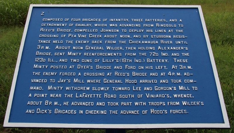
Text on the second tablet:
...composed of four brigades of infantry, three batteries, and a detachment of cavalry, which was advancing from Ringgold to Reed's Bridge. Compelled Johnson to deploy his lines at the crossing of Pea Vine Creek about noon, and by stubborn resistance held the enemy back from the Chickamauga River until 3 p.m. About noon General Wilder, then holding Alexander's Bridge, sent Minty reenforcements from the 72d Indiana and the 123d Illinois, and two guns of Lily's (18th Indiana) Battery. These Minty posted at Dyer's Bridge and Ford on his left. At 3 p.m. the enemy forced a crossing at Reed's Bridge and at 4 p.m. advanced to Jay's Mill where General Hood arrived and took command. Minty withdrew slowly toward Lee and Gordon's Mill to a point near the LaFayette Road south of Viniaed's. Whence, about 8 p.m., he took part with troops from Wilder's and Dick's Brigades in checking the advance of Hood's forces.
Erected 1890 by the Chickamauga and Chattanooga National Military Park Commission. (Marker Number MT-620.)
Topics. This historical marker is listed in this topic list: War, US Civil. A significant historical date for this entry is September 18, 1863.
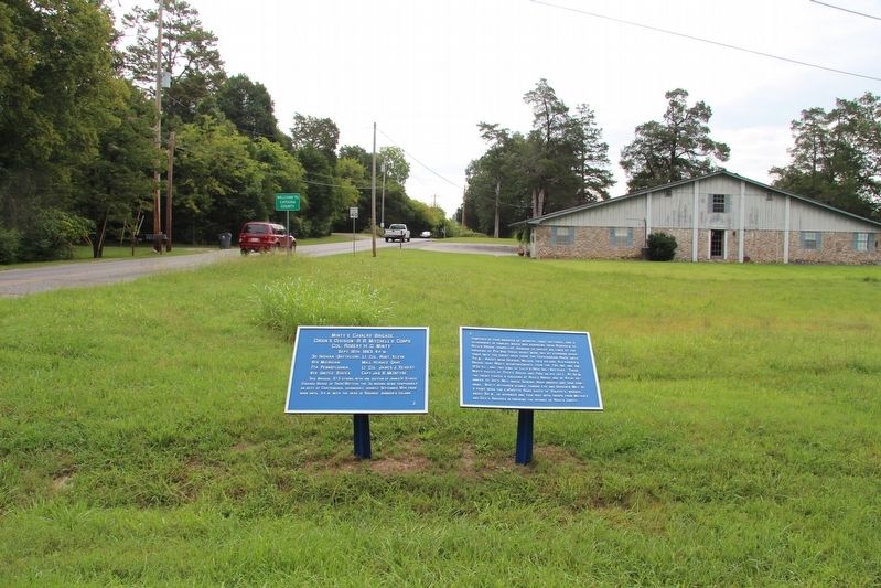
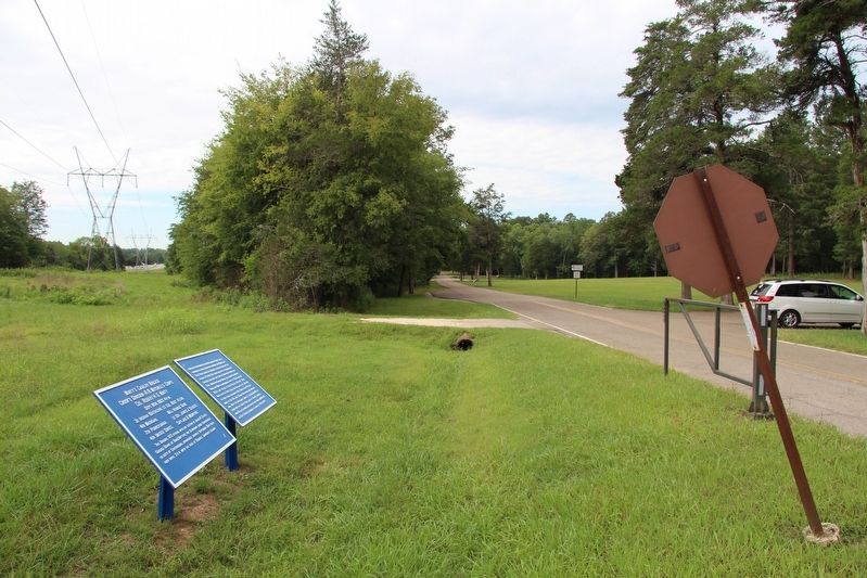
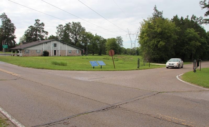
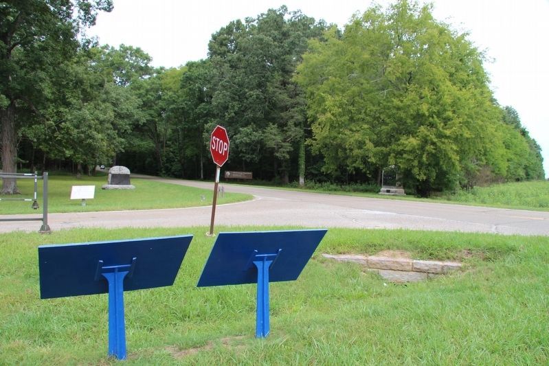
Location. 34° 55.83′ N, 85° 13.721′ W. Marker is near Fort Oglethorpe, Georgia, in Catoosa County. Marker is at the intersection of Jay's Mill Road and Reeds Bridge Road, on the left when traveling south on Jay's Mill Road. This tablet is located in the national park that preserves the site of the Chickamauga Battlefield, along the park roadway called Jay's Mill Road, at the park's site where the Reed's Bridge crossing was contested. Touch for map. Marker is in this post office area: Fort Oglethorpe GA 30742, United States of America. Touch for directions.
Other nearby markers. At least 8 other markers are within walking distance of this marker. Confederates Cross the Creek (within shouting distance of this marker); Johnson's Provisional Division (within shouting distance of this marker); Dibrell's Brigade
(within shouting distance of this marker); 4th United States Cavalry (within shouting distance of this marker); 4th Michigan Cavalry (within shouting distance of this marker); 7th Pennsylvania Cavalry (within shouting distance of this marker); Pegram's Division (about 400 feet away, measured in a direct line); Huwald's Tennessee Battery (about 600 feet away). Touch for a list and map of all markers in Fort Oglethorpe.
More about this marker. I used the "Chickamauga Battlefield" map, that I purchased at the Chickamauga and Chattanooga National Military Park, Visitor Center, to determine both the marker number for this tablet and the tablet's location in relation to the rest of the park's monuments, markers, and tablets. According to the map it provides the, "numerical listing of all monuments, markers, and tablets on the Chickamauga Battlefield (using the Chick-Chatt NMP Monument Numbering System).”
Credits. This page was last revised on July 3, 2017. It was originally submitted on November 1, 2016, by Dale K. Benington of Toledo, Ohio. This page has been viewed 636 times since then and 45 times this year. Photos: 1, 2, 3, 4, 5, 6. submitted on November 2, 2016, by Dale K. Benington of Toledo, Ohio. 7, 8. submitted on November 3, 2016, by Dale K. Benington of Toledo, Ohio.
