Roseburg in Douglas County, Oregon — The American West (Northwest)
The Mill-Pine Historic Neighborhood District
Photographed by Andrew Ruppenstein, February 20, 2016
1. The Mill-Pine Historic Neighborhood District Marker
National Register of Historic Places Nomination Form
Click for more information.
Click for more information.
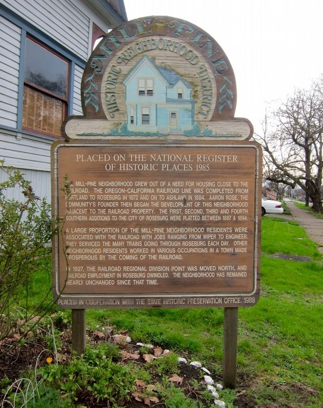
Placed on the National Register of Historic Places 1985
The Mill-Pine neighborhood grew out of a need for housing close to the railroad. The Oregon-California railroad line was completed from Portland to Roseburg in 1872 and on to Ashland in 1884. Aaron Rose, the community's founder then began the development of this neighborhood adjacent to the railroad property. The first, second, third and fourth southern additions to the City of Roseburg were platted between 1887 & 1894.
A large proportion of the Mill-Pine neighborhood residents were associated with the railroad with jobs ranging from wiper to engineer. They serviced the many trains going through Roseburg each day. Other neighborhood residents worked in various occupations in a town made prosperous by the coming of the railroad.
In1927, the railroad regional division point was moved north, and railroad employment in Roseburg dwindled. The neighborhood has remained largely unchanged since that time.
Placed in cooperation with the State Historic Preservation Office. 1988
Erected 1988 by Oregon State Historic Preservation Office.
Topics and series.
this page online
Location. 43° 12.357′ N, 123° 20.978′ W. Marker is in Roseburg, Oregon, in Douglas County. It is on SE Pine Street south of SE Woodward Avenue, on the left when traveling south. Touch for map. Marker is at or near this postal address: 1019 SE Pine Street, Roseburg OR 97470, United States of America. Touch for directions.

Regionally, this marker is in Southern Oregon. It is also on the American Pacific Coast, in the Pacific Northwest, and in the Lewis & Clark Corridor. Globally, it is in North America, in the Cascade Range, on the Ring of Fire, on the Pacific Rim, in the Western Hemisphere, in the Western World, and in the Anglosphere.
Other nearby markers. At least 8 other markers are within 13 miles of this marker, measured as the crow flies: The Hebe Fountain (approx. ¼ mile away); 'The Blast' Site (approx. 0.3 miles away); Welcome to Southern Oregon (approx. 0.4 miles away);
Photographed by Andrew Ruppenstein, February 20, 2016
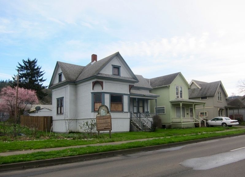
2. The Mill-Pine Historic Neighborhood District Marker - Wide View
Credits. This page was last revised on April 19, 2022. It was originally submitted on November 2, 2016, by Andrew Ruppenstein of Lamorinda, California. This page has been viewed 752 times since then and 54 times this year. Photos: 1, 2. submitted on November 2, 2016, by Andrew Ruppenstein of Lamorinda, California.
