Stone Mountain in DeKalb County, Georgia — The American South (South Atlantic)
Garrard's Cavalry at Stone Mtn. Depot
Photographed by Felch Dumas, August 3, 2008
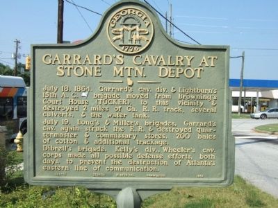
1. Garrard's Cavalry at Stone Mtn. Depot Marker
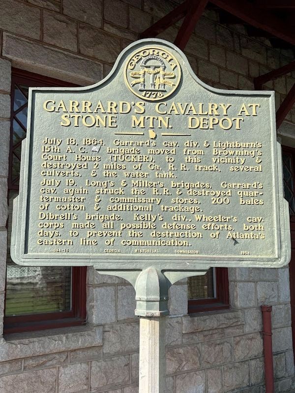
July 18, 1864. Garrard’s cav. div. & Lightburn’s 15th A.C. (US) brigade moved from Browning’s Court House (Tucker), to this vicinity & destroyed 2 miles of Ga. R.R. track, several culverts, & the water tank.
July 19. Long’s & Miller’s brigades, Garrard’s cav. again struck the R.R. & destroyed quartermaster & commissary stores, 200 bales of cotton & additional trackage. Dibrell’s brigade, Kelly’s div., Wheeler’s cav. corps made all possible defense efforts, both days, to prevent the destruction of Alanta’s eastern line of communication.
Erected 1954 by Georgia Historical Commission. (Marker Number 044-16.)
Topics and series. This historical marker is listed in this topic list: War, US Civil. In addition, it is included in the Georgia Historical Society series list. A significant historical date for this entry is July 18, 1777.
Location. 33° 48.731′ N, 84° 10.221′ W. Marker is in Stone Mountain, Georgia, in DeKalb County. It is at the intersection of James B Rivers Memorial Drive and Silver Hill Road on James B Rivers Memorial Drive. Touch for map. Marker is in this post office area: Stone Mountain GA 30087, United States of
this page online

Regionally, this marker is in Georgia’s Piedmont and in Metro Atlanta. It is also in the American South and specifically in the Deep South. Globally, it is in North America, the Western Hemisphere, the Western World, and the Anglosphere. Historically, it finds itself in what was once the territory of the Mississippian Culture, one of the original Thirteen Colonies, one of the Confederate States of America, and the Antebellum South.
Other nearby markers. At least 8 other markers are within 2 miles of this marker, measured as the crow flies: Unknown Confederate Dead (within shouting distance of this marker); Stone Mountain City Cemetery Confederate Monument (within shouting distance of this marker); 150 Confederate Dead (within shouting distance of this marker); Stone Mountain Cemetery (about 300 feet away, measured in a direct line); Sherman's Neckties (approx. 0.3 miles away); Stone Mountain Inn (approx. 0.4 miles away); Georgia Railroad Depot (approx. 0.4 miles away); Old Indian Trail (approx. 1.2 miles away). Touch for a list and map of all markers in Stone Mountain.
Photographed by Felch Dumas, August 3, 2008
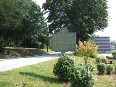
2. Garrard's Cavalry at Stone Mtn. Depot Marker
This view is towards the marker northeast up Silver Hill Road. The cemetery is to the left.
Photographed by Darren Jefferson Clay, June 22, 2025
3. Garrard's Cavalry at Stone Mtn. Depot Marker
Photographed by Darren Jefferson Clay, June 22, 2025
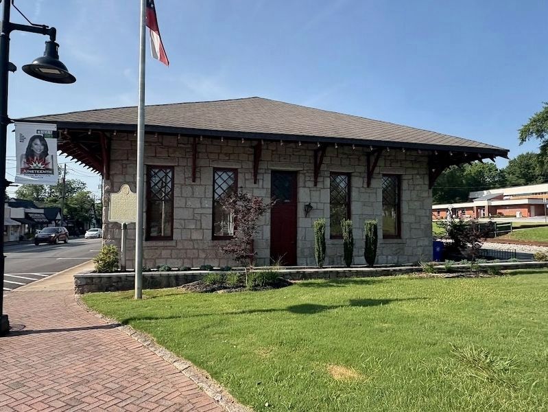
4. Garrard's Cavalry at Stone Mtn. Depot Marker
Credits. This page was last revised on July 7, 2025. It was originally submitted on August 4, 2008, by Felch Dumas of Decatur, Georgia. This page has been viewed 1,579 times since then and 39 times this year. Photos: 1, 2. submitted on August 4, 2008, by Felch Dumas of Decatur, Georgia. 3, 4. submitted on July 5, 2025, by Darren Jefferson Clay of Duluth, Georgia. • Craig Swain was the editor who published this page.
