
Near Hillsville in Wythe County, Virginia — The American South (Mid-Atlantic)
Wythe County
⎯⎯⎯
Carroll County
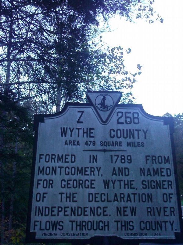
Photographed by Roger Miller, October 29, 2016
1. Wythe County/ Carroll County Marker
Wythe County. Area 479 Square Miles. Formed in 1789 from Montgomery, and named for George Wythe, signer of the Declaration of Independence. New River flows through this county.
Carroll County. Area 458 Square Miles. Formed in 1842 from Grayson, and named for Charles Carroll of Carrollton, signer of the Declaration Of Independence. New River runs through this county.
Erected 1946 by Virginia Conservation Commission. (Marker Number Z-256.)
Topics and series. This historical marker is listed in these topic lists: Political Subdivisions • Settlements & Settlers • War, US Revolutionary • Waterways & Vessels. In addition, it is included in the Virginia Department of Historic Resources (DHR) series list. A significant historical year for this entry is 1789.
Location. 36° 52.219′ N, 80° 46.182′ W. Marker is near Hillsville, Virginia, in Wythe County. It is at the intersection of Sylvatus Smith Highway (Virginia Route 100) and Henley Drive, on the right when traveling south on Sylvatus Smith Highway. Touch for map. Marker is at or near this postal address: 125 Henley Dr, Hillsville VA 24343, United States
this page online

Regionally, this marker is in Southwest Virginia and in the Blue Ridge Highlands. It is also in the American South, specifically in the Upper South, in Appalachia, and specifically in Southern Appalachia. Globally, it is in North America, the Western Hemisphere, the Western World, and the Anglosphere. Historically, it finds itself in what was once the territory of the Mississippian Culture, one of the original Thirteen Colonies, one of the Confederate States of America, and the Antebellum South.
Other nearby markers. At least 8 other markers are within 6 miles of this marker, measured as the crow flies: Foster Falls Hotel (approx. 4.9 miles away); Railroad Depot (approx. 4.9 miles away); Foster Falls Furnace (approx. 4.9 miles away); Pulaski County / Wythe County (approx. 4.9 miles away); Stephen F. Austin's Birthplace (approx. 5 miles away); Carroll County / Wythe County (approx. 5 miles away); River Crossing Old & New (approx. 5½ miles away); Jackson's Ferry (approx. 5½ miles away).
Another marker is no longer nearby. Austin's Birthplace (was approx. 5 miles away but has been
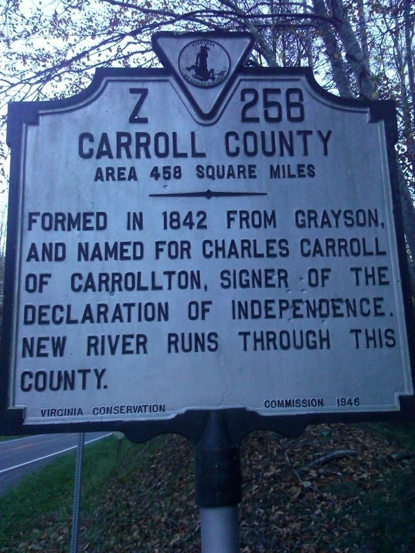
Photographed by Roger Miller, October 29, 2016
2. Wythe County/ Carroll County Marker
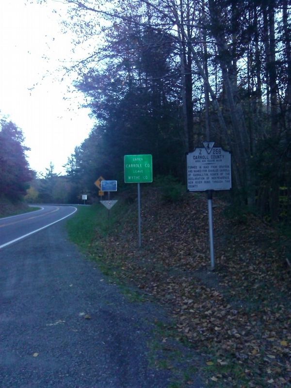
Photographed by Roger Miller, October 29, 2016
3. Wythe County/ Carroll County Marker
Credits. This page was last revised on July 14, 2021. It was originally submitted on November 5, 2016, by Roger Miller of Pulaski, Virginia. This page has been viewed 538 times since then and 26 times this year. Photos: 1, 2, 3. submitted on November 5, 2016, by Roger Miller of Pulaski, Virginia. • Bernard Fisher was the editor who published this page.
