Near White Stone in Lancaster County, Virginia — The American South (Mid-Atlantic)
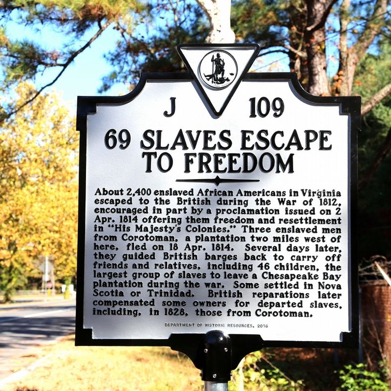
69 Slaves Escape to Freedom
Erected 2016 by Department of Historic Resources. (Marker Number J-109.)
Topics and series. This historical marker is listed in these topic lists: African Americans • War of 1812. In addition, it is included in the Virginia Department of Historic Resources (DHR) series list. A significant historical date for this entry is April 18, 1814.
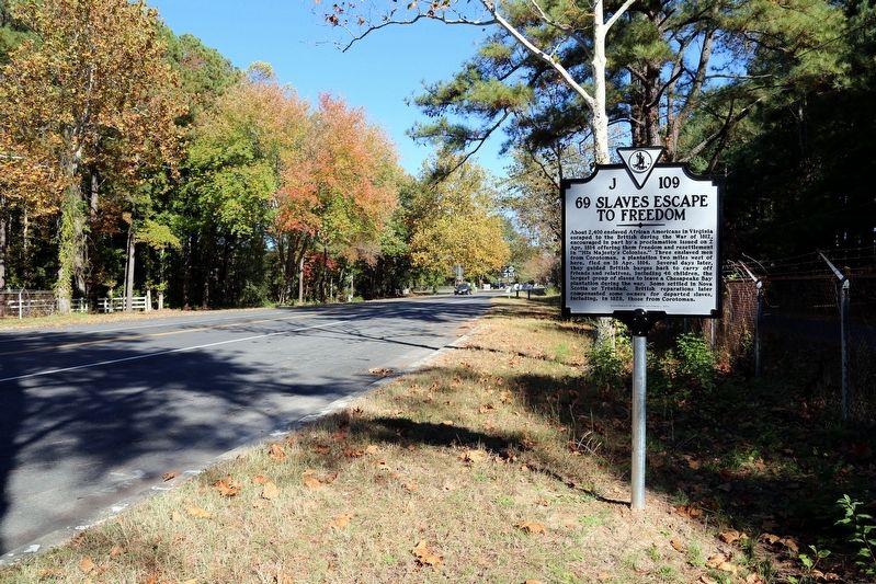
Location. 37° 38.29′ N, 76° 24.534′ W. Marker is near White Stone, Virginia, in Lancaster County. Marker is on Mary Ball Road (Virginia Route 3) north of the Norris Bridge, on the left when traveling east. Route 3 is an east-west route, but at this point if you are eastbound on the route you are actually driving southwest. Touch for map. Marker is in this post office area: White Stone VA 22578, United States of America. Touch for directions.
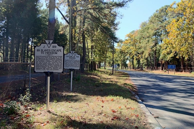
Other nearby markers. At least 8 other markers are within 3 miles of this marker, measured as the crow flies. The War of 1812 / Capture of the Dolphin (a few steps from this marker); Albert Terry Wright (approx. 0.6 miles away); A. T. Wright High School (approx. 0.7 miles away); Irvington World War I Memorial (approx. 1.7 miles away); Site of Robert Carter's Brick Kiln (approx. 3 miles away); Foundation for Historic Christ Church, Inc. (approx. 3 miles away); Virginia Founders, Revolutionary War Patriots and War of 1812 Veterans (approx. 3 miles away); Christ Church Lancaster (approx. 3 miles away). Touch for a list and map of all markers in White Stone.
Credits. This page was last revised on November 6, 2016. It was originally submitted on November 6, 2016, by J. J. Prats of Powell, Ohio. This page has been viewed 975 times since then and 104 times this year. Photos: 1, 2, 3. submitted on November 6, 2016, by J. J. Prats of Powell, Ohio.


