Topping in Middlesex County, Virginia — The American South (Mid-Atlantic)
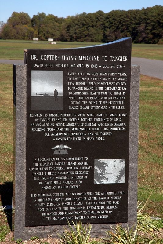
Dr. Copter — Flying Medicine to Tangier
David Buell Nichols, MD
— Feb 18, 1948 – Dec 30, 2010 —
Between his private practice in White Stone and the small clinic on Tangier Island, Dr. Nichols touched thousands of lives. He was also an active advocate of General Aviation in America, realizing first-hand the importance of flight. His enthusiasm for aviation was contagious and he fostered a passion for flying in many people.
In recognition of his commitment to the people of Tangier Island, and his contribution to General Aviation, the Aircraft Owners and Pilots Association dedicates this two-part memorial in honor of Dr. David Buell Nichols, also known as “Doctor Copter.”
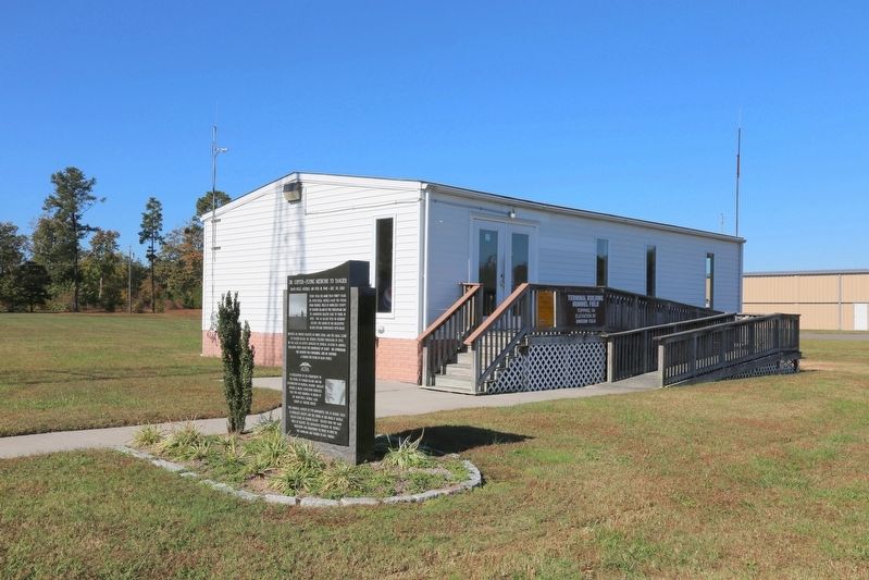
This memorial consists of two monuments, one at Hummel Field in Middlesex County and the other at the David B. Nichols Health Clinic on Tangier Island. Created from the same piece of granite, the monuments epitomize Dr. Nichols’ dedication and commitment to those in need on the mainland and Tangier Island, Virginia.
Erected by Aircraft Owners and Pilots Association.
Topics. This historical marker is listed in these topic lists: Air & Space • Science & Medicine. A significant historical year for this entry is 1980.
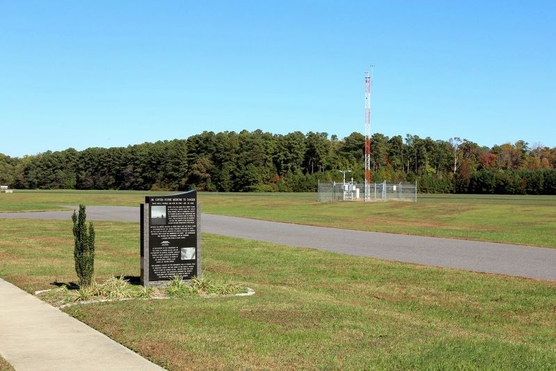
Location. 37° 36.111′ N, 76° 26.899′ W. Marker is in Topping, Virginia, in Middlesex County. Marker is on Plainview Road (County Route 663) just south of Long Point Lane (Route 646), on the right when traveling north. The airfield is off Route 3 just south of the Norris Bridge. Touch for map. Marker is at or near this postal address: 310 Plainview Rd, Topping VA 23169, United States of America. Touch for directions.
Other nearby markers. At least 8 other markers are within 5 miles of this marker, measured as the crow flies. The War of 1812 / Capture of the Dolphin (approx. 3.3 miles away); 69 Slaves Escape to Freedom (approx. 3.3 miles away); Lower Methodist Church (approx. 3.4 miles away); Stingray Point (approx. 3˝ miles away); Albert Terry Wright (approx. 3.9 miles away); A. T. Wright High School (approx. 4 miles away); Naval Actions on Wilton Creek and the Rappahannock River (approx. 4.3 miles away); Irvington World War I Memorial (approx. 4.4 miles away).
Related markers. Click here for a list of markers that are related to this marker.
Also see . . . Tangier Island clinic is in excellent health. 2014 article by Prue Salasky
in the . Includes a video interview with the current doctor and the physician’s assistant that worked with Dr. Nichols. “Nichols taught her to be thorough. ‘They'd come in for a splinter and leave with a Pap smear,’ she joked. ‘He was that thorough.’ He taught her not just clinical medicine but the social aspects as well. He told her to never let patients leave without touching them.” (Submitted on November 6, 2016.)
Credits. This page was last revised on November 25, 2021. It was originally submitted on November 6, 2016, by J. J. Prats of Powell, Ohio. This page has been viewed 393 times since then and 40 times this year. Photos: 1, 2, 3. submitted on November 6, 2016, by J. J. Prats of Powell, Ohio.


