Marshfield in Webster County, Missouri — The American Midwest (Upper Plains)
Marshfield Hand Dug Well
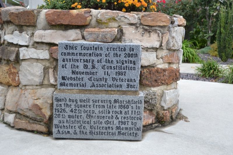
Photographed by Duane Hall, October 14, 2016
1. Marshfield Hand Dug Well Marker
Hand dug well serving Marshfield on the square from late 1860’s to 1926. 42 ft. deep, solid rock at 11 ft. 20 ft. water. Uncovered and restored as historical site Oct. 1987 by Webster Co. Veterans Memorial Assn. and the Historical Society.
This fountain erected in commemoration of the 200th anniversary of the signing of the U.S. Constitution
Webster County Veterans Memorial Assocation Inc.
Erected 1987 by Webster County Veterans Memorial Association and Webster County Historical Society.
Topics. This historical marker is listed in this topic list: Settlements & Settlers.
Location. 37° 20.304′ N, 92° 54.413′ W. Marker is in Marshfield, Missouri, in Webster County. It can be reached from Madison Street west of Clay Street, on the left when traveling east. Marker is located on the south side of the grounds of the Webster County Courthouse. Touch for map. Marker is in this post office area: Marshfield MO 65706, United States of America. Touch for directions.

Regionally, this marker is in Southwest Missouri and in Greater Springfield. It is
this page online
Other nearby markers. At least 8 other markers are within walking distance of this marker: Webster County War Memorial (within shouting distance of this marker); Edwin Hubble (within shouting distance of this marker); Howitzer, Medium, Towed (within shouting distance of this marker); Webster County (within shouting distance of this marker); Veterans Memorial (within shouting distance of this marker); In Remembrance of Those Who Helped Shape Our Community (within shouting distance of this marker); Edwin Powell Hubble (about 400 feet away, measured in a direct line); Trail of Tears (approx. half a mile away). Touch for a list and map of all markers in Marshfield.
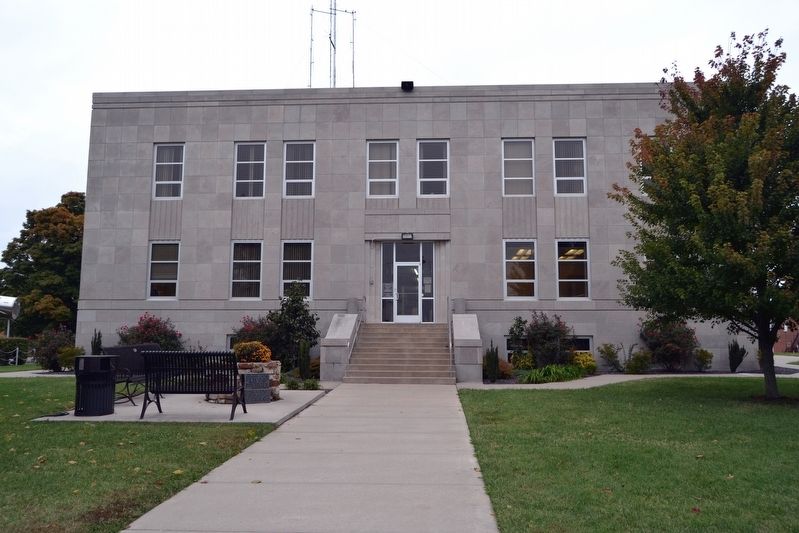
Photographed by Duane Hall, October 14, 2016
2. Marker on South Side of Webster County Courthouse
Credits. This page was last revised on May 12, 2024. It was originally submitted on November 8, 2016, by Duane Hall of Abilene, Texas. This page has been viewed 515 times since then and 39 times this year. Photos: 1, 2. submitted on November 8, 2016, by Duane Hall of Abilene, Texas.
