Near Providence Forge in New Kent County, Virginia — The American South (Mid-Atlantic)
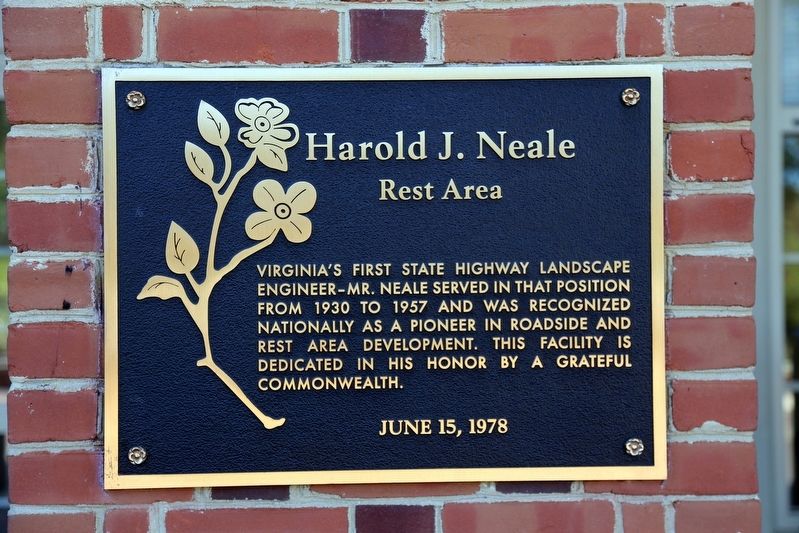
Harold J. Neale
Rest Area
June 15, 1978
Erected 1978 by the Commonwealth of Virginia.
Topics. This historical marker is listed in this topic list: Roads & Vehicles. A significant historical year for this entry is 1930.
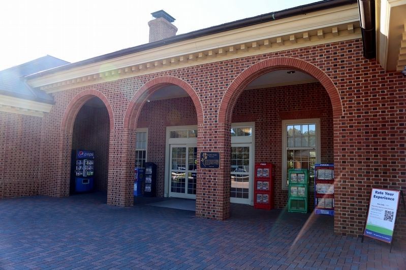
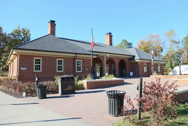
Location. 37° 29.953′ N, 77° 2.628′ W. Marker is near Providence Forge, Virginia, in New Kent County. Marker is on Interstate 64 at milepost 213,, one mile west of exit 214, on the right when traveling west. This rest area is labeled on maps as the New Kent Safety Area West. The marker is on the rest area building. Touch for map. Marker is in this post office area: Providence Forge VA 23140, United States of America. Touch for directions.
Other nearby markers. At least 8 other markers are within 3 miles of this marker, measured as the crow flies. A different marker also named Harold J. Neale (about 800 feet away, measured in a direct line); Criss Cross Plantation (approx. 1.4 miles away); George Poindexter (approx. 1.4 miles away); John William Dunjee (1833-1903) (approx. 1.4 miles away); Arnold Stansley (approx. 2.2 miles away); St. Peter's Church (approx. 2.6 miles away); The White House (approx. 2.6 miles away); Stuart's Ride Around McClellan (approx. 2.6 miles away).
Credits. This page was last revised on March 2, 2021. It was originally submitted on November 10, 2016, by J. J. Prats of Powell, Ohio. This page has been viewed 389 times since then and 27 times this year. Photos: 1, 2, 3. submitted on November 10, 2016, by J. J. Prats of Powell, Ohio.


