Near Circleville in Pendleton County, West Virginia — The American South (Appalachia)
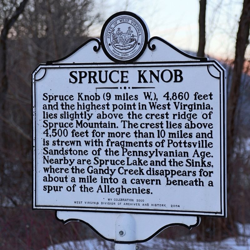
Spruce Knob
Erected 2004 by West Virginia Division of Archives and History — WV Celebration 2000.
Topics and series. This historical marker is listed in this topic list: Natural Features. In addition, it is included in the West Virginia Archives and History series list.
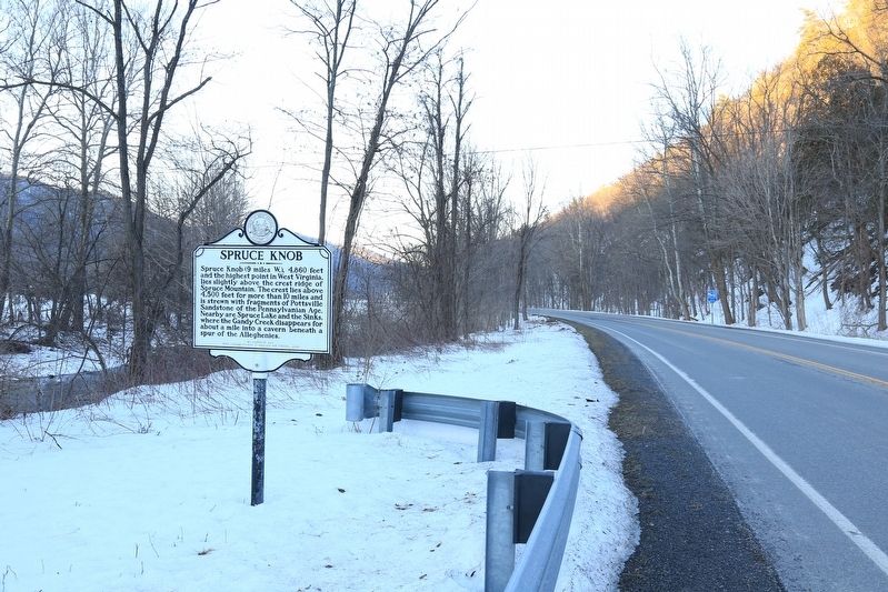
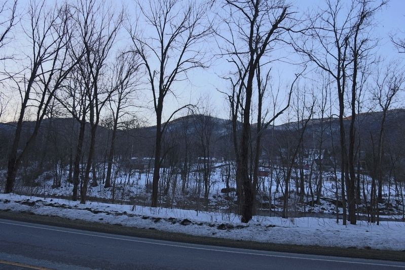
Location. 38° 40.767′ N, 79° 29.014′ W. Marker is near Circleville, West Virginia, in Pendleton County. Marker is on Mount Freedom Drive (West Virginia Route 28) 2.2 miles south of Mountaineer Drive (U.S. 33), on the right when traveling south. Touch for map. Marker is in this post office area: Circleville WV 26804, United States of America. Touch for directions.
Other nearby markers. At least 8 other markers are within 8 miles of this marker, measured as the crow flies. Indians (approx. 0.6 miles away); Germany Valley (approx. 4.8 miles away); Last Union Raid (approx. 4.8 miles away); The "Battle" of Riverton (approx. 5.1 miles away); Oriskany Sand (approx. 5.1 miles away); Gravesite of John Dolly (approx. 5.3 miles away); Destruction of Saltpeter Works (approx. 8 miles away); Trout Rock Fort (approx. 8 miles away).
Also see . . . . “Spruce Knob’s climate can be classified as cold continental or highland. Summers are cool and often damp, with thunderstorms common both in spring and summer. Winters are cold and snowy, with an average of over 180 inches of annual snowfall leaving the summit access road often impassible between October and April. This mountain is known to receive high winds year-round; red spruce deformed by constant exposure to strong westerly winds are scattered across its rocky ridges.” (Submitted on November 11, 2016.)
Credits. This page was last revised on November 11, 2016. It was originally submitted on November 11, 2016, by J. J. Prats of Powell, Ohio. This page has been viewed 547 times since then and 21 times this year. Photos: 1, 2, 3. submitted on November 11, 2016, by J. J. Prats of Powell, Ohio.


