Saint Bernard in St. Bernard Parish, Louisiana — The American South (West South Central)
Saint Bernard Church
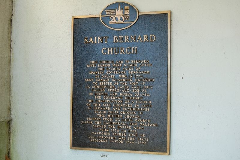
October 28, 2016
1. Saint Bernard Church Marker
Erected by Archdiocesan Bicentennial Commission.
Topics. This historical marker is listed in these topic lists: Religion & Religious Structures • Settlements & Settlers.
Location. 29° 52.043′ N, 89° 49.085′ W. Marker is in Saint Bernard, Louisiana, in St. Bernard Parish. It is on Bayou Road (State Highway 300) near Billiot Drive. Mounted at front entrance to church. Touch for map. Marker is at or near this postal address: 2805 Bayou Road, Saint Bernard LA 70085,
this page online

Regionally, this marker is in Bayou Country and in Greater New Orleans. It is also in the American South, specifically in the Deep South, and on the Gulf Coast. Globally, it is in North America, a Gulf of Mexico state, the Western Hemisphere, the Western World, and the Anglosphere. Historically, it finds itself in what was once New Spain, the Viceroyalty of New France, the territory of the Mississippian Culture, the Louisiana Purchase, one of the Confederate States of America, and the Antebellum South.
Other nearby markers. At least 8 other markers are within 9 miles of this marker, measured as the crow flies: Terre-Aux-Boeufs Cemetery (within shouting distance of this marker); Terre-Aux-Boeuf (approx. 2½ miles away); St. Malo (approx. 2½ miles away); Plaquemines Parish (approx. 5.8 miles away); Jumonville Plantation (approx. 8 miles away); Battle of Lake Borgne (approx. 8.4 miles away); English Turn (approx. 8.8 miles away); Plantation of Jacques Philippe Villere (approx. 8.8 miles away). Touch for a list and map of all markers in Saint Bernard.
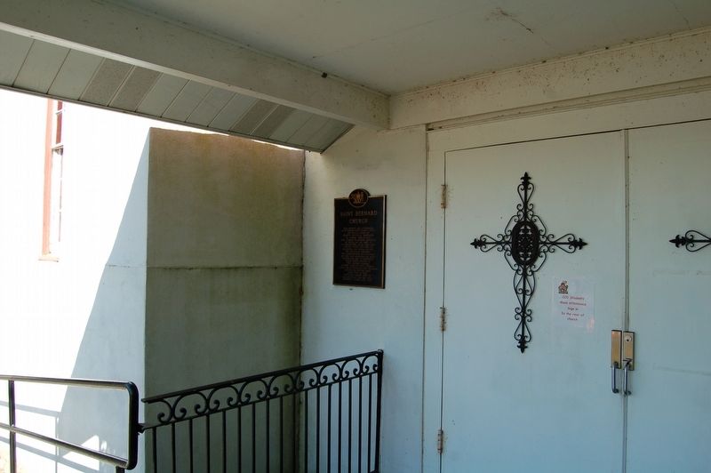
October 28, 2016
2. Saint Bernard Church Marker
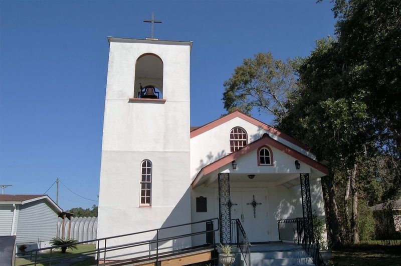
October 28, 2016
3. Saint Bernard Church
Credits. This page was last revised on November 13, 2016. It was originally submitted on November 13, 2016, by Cajun Scrambler of Assumption, Louisiana. This page has been viewed 1,001 times since then and 92 times this year. Photos: 1, 2, 3. submitted on November 13, 2016.
