Near Newark in New Castle County, Delaware — The American Northeast (Mid-Atlantic)
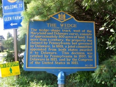
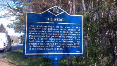
The Wedge
Topics and series. This historical marker is listed in these topic lists: Government & Politics • Notable Places • Political Subdivisions. In addition, it is included in the Delaware Public Archives series list. A significant historical year for this entry is 1889.
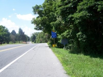
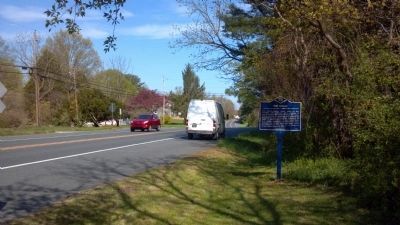
Location. 39° 43.079′ N, 75° 47.086′ W. Marker is near Newark, Delaware, in New Castle County. Marker is on New London Road Rt. 896 north of Hopkins Bridge Road, on the right when traveling north. Touch for map. Marker is in this post office area: Newark DE 19711, United States of America. Touch for directions.
Other nearby markers. At least 8 other markers are within 3 miles of this marker, measured as the crow flies. The Chambers House (approx. 1.1 miles away); Dorothy P. Miller: Champion of Preservation (approx. 1.1 miles away); a different marker also named The Wedge (approx. 1.7 miles away); Head of Christiana Presbyterian Church (approx. 1.8 miles away); Minguannan Indian Town (approx. 2 miles away in Pennsylvania); New London Avenue School (approx. 2.3 miles away); Newark's New London Community (approx. 2˝ miles away); Mt. Zion Union American Methodist Episcopal (UAME) Church (approx. 2.6 miles away). Touch for a list and map of all markers in Newark.
Also see . . . The Wedge - Wikipedia entry. (Submitted on August 5, 2008, by Bill Pfingsten of Bel Air, Maryland.)
Additional commentary.
1. A second Historical Marker has been added for "The Wedge"
A second "The Wedge" historical Marker has been added at the Head of Christiana Cemetery on Route 273 in Newark. Marker is located at the Eastern corner of the Cemetery right on 273 (Nottingham Road). Text is the same as the HM on 896 but is tagged "NC-37".
— Submitted February 9, 2024, by Jim of Newark, Delaware.
Credits. This page was last revised on March 9, 2024. It was originally submitted on August 5, 2008, by Bill Pfingsten of Bel Air, Maryland. This page has been viewed 3,088 times since then and 123 times this year. Photos: 1. submitted on August 5, 2008, by Bill Pfingsten of Bel Air, Maryland. 2. submitted on July 13, 2013, by Keith S Smith of West Chester, Pennsylvania. 3. submitted on August 5, 2008, by Bill Pfingsten of Bel Air, Maryland. 4. submitted on July 13, 2013, by Keith S Smith of West Chester, Pennsylvania.


