Ninety Six in Greenwood County, South Carolina — The American South (South Atlantic)
The Stockade Fort
Ninety Six National Historic Site
Photographed by Don Morfe, January 16, 1997
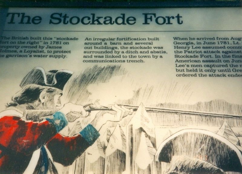
1. The Stockade Fort Marker
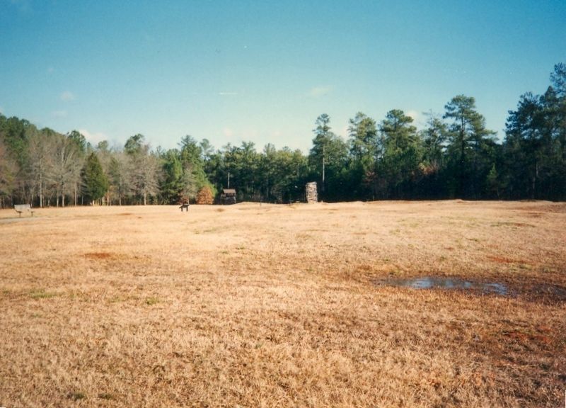
The British built this “stockade fort on the right” in 1781 on property owned by James Holmes, a Loyalist, to protect the garrison’s water supply.
An irregular fortification built around a barn and several out building, the stockade was surrounded by a ditch and abates, and was linked to the town by a communications trench.
When he arrived from August Georgia, in June 1781 Lt. Henry Lee assumed command of the Patriot attack against the Stockade Fort. In the final American assault on June 18, 1781, Lee’s men captured the fort but held it only until Greene ordered the attack ended.
Erected by National Park Service, U.S. Department of the Interior.
Topics. This historical marker is listed in these topic lists: Forts and Castles • War, US Revolutionary. A significant historical year for this entry is 1781.
Location. 34° 8.682′ N, 82° 1.392′ W. Marker is in Ninety Six, South Carolina, in Greenwood County. It can be reached from the intersection of State Highway 248 and Louden Road, on the right when traveling north. The marker is on the grounds of the Ninety Six National Historic Site, near the Fort
this page online

Regionally, this marker is in Upstate. It is also in the American South and specifically in the Deep South. Globally, it is in North America, the Western Hemisphere, the Western World, and the Anglosphere. Historically, it finds itself in what was once the territory of the Mississippian Culture, one of the original Thirteen Colonies, one of the Confederate States of America, and the Antebellum South.
Other nearby markers. At least 8 other markers are within walking distance of this marker: "Light Horse Harry" Lee Takes the Stockade Fort (a few steps from this marker); Sharpshooter (within shouting distance of this marker); Militiamen (within shouting distance of this marker); First Blood Shed for Liberty (about 400 feet away, measured in a direct line); Monument to James Birmingham (about 400 feet away); James Birmingham (about 400 feet away); Ninety Six National Historic Site (about 400 feet away); The Lost Town of Cambridge (about 400 feet away). Touch for a list and map of all markers in
Photographed by Don Morfe, January 16, 1997
2. The Stockade Fort
Also see . . . Ninety Six National Historic Site. National Park Service (Submitted on November 18, 2016.)
Photographed by Don Morfe, January 16, 1997
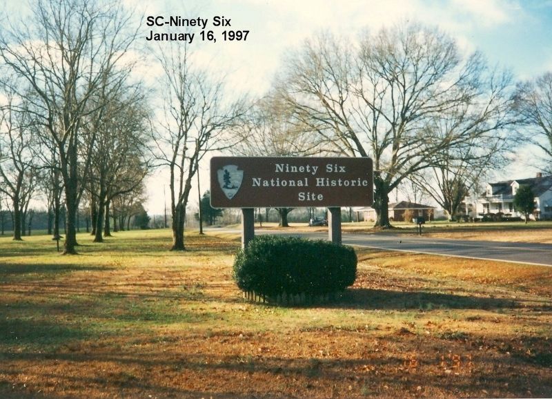
3. Sign at the entrance to Ninety Six National Historic Site
Credits. This page was last revised on June 12, 2020. It was originally submitted on November 17, 2016, by Don Morfe of Baltimore, Maryland. This page has been viewed 606 times since then and 44 times this year. Photos: 1, 2, 3. submitted on November 17, 2016, by Don Morfe of Baltimore, Maryland. • Bernard Fisher was the editor who published this page.
