Near Aurora in Lawrence County, Missouri — The American Midwest (Upper Plains)
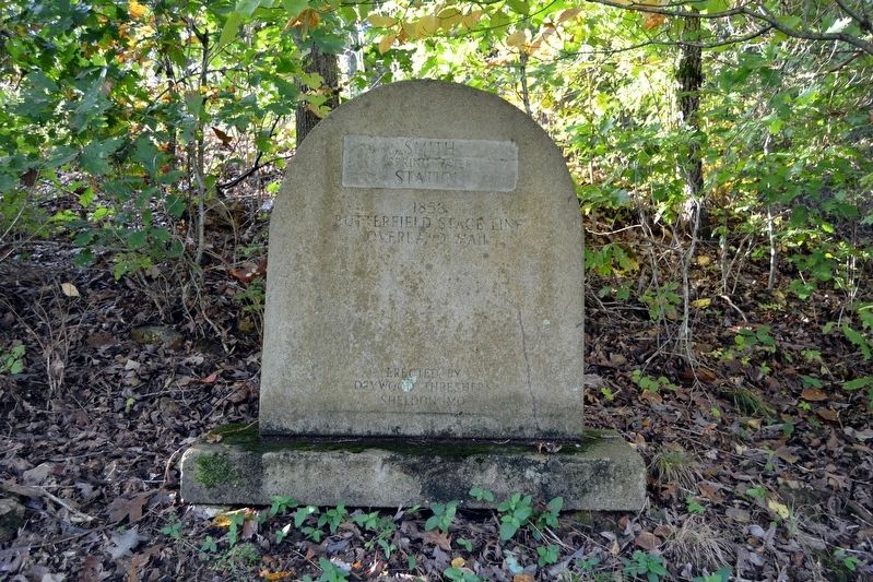
Smith Station
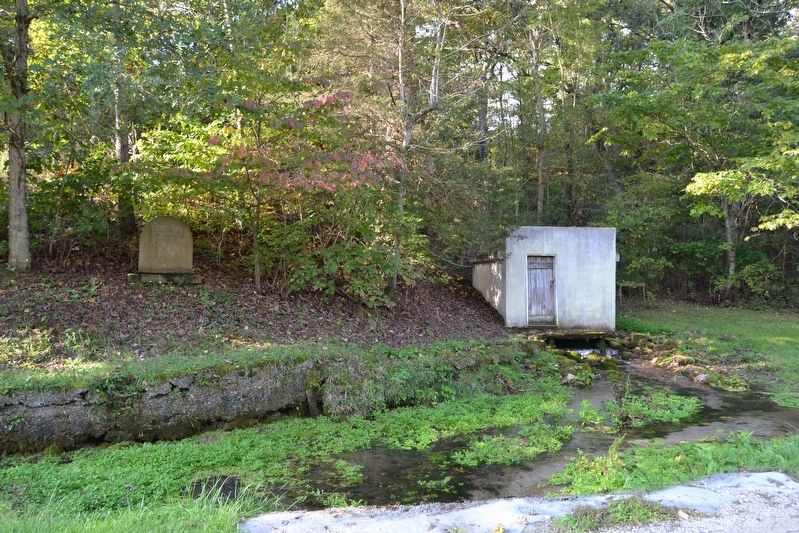
Spring Water
Station
1858
Butterfield Stage Line
Overland Mail
Erected by Drywood Threshers of Sheldon, Missouri.
Topics and series. This historical marker is listed in these topic lists: Communications • Roads & Vehicles. In addition, it is included in the Butterfield Overland Mail series list. A significant historical year for this entry is 1858.
Location. 36° 53.681′ N, 93° 40.448′ W. Marker is near Aurora, Missouri, in Lawrence County. Marker is on Farm Road 2020, 0.3 miles east of Farm Road 1212, on the right when traveling east. Touch for map. Marker is in this post office area: Crane MO 65633, United States of America. Touch for directions.
Other nearby markers. At least 8 other markers are within 9 miles of this marker, measured as the crow flies. Mars Hill Cemetery Veterans Memorial (approx. 2.8 miles away); Butterfield Overland Mail in Missouri — 1858-1861 (approx. 3.1 miles away); Veterans Memorial (approx. 4.9 miles away); Civil War Marker (approx. 5.6 miles away); a different marker also named Veterans Memorial (approx. 5.6 miles away); a different marker also named Veterans Memorial (approx. 6 miles away); Honoring All Those Who Served (approx. 6˝ miles away); Lawrence County (approx. 8.1 miles away). Touch for a list and map of all markers in Aurora.
Credits. This page was last revised on November 17, 2016. It was originally submitted on November 17, 2016, by Duane Hall of Abilene, Texas. This page has been viewed 554 times since then and 28 times this year. Photos: 1, 2, 3, 4. submitted on November 17, 2016, by Duane Hall of Abilene, Texas.


