
Near New Richmond in Clermont County, Ohio — The American Midwest (Great Lakes)
Franklin Chapel
— Clermont County Bicentennial Marker —
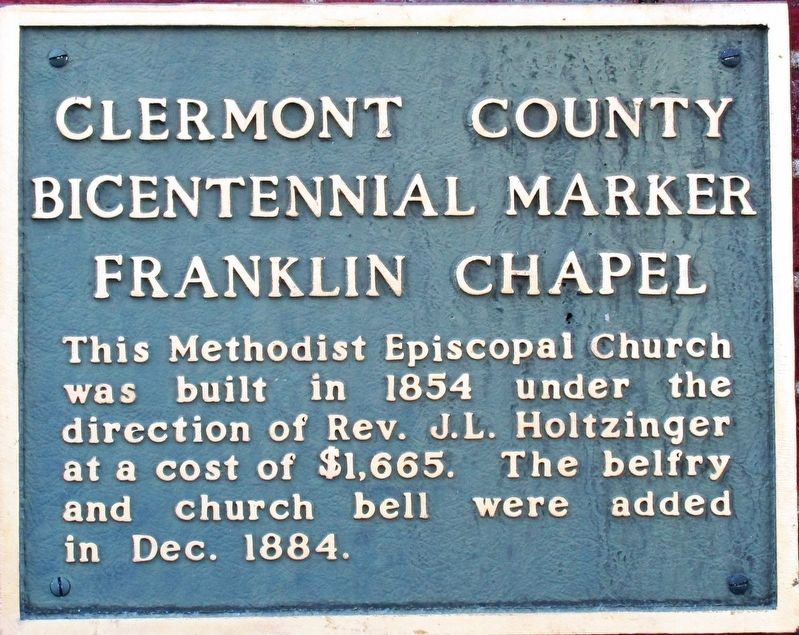
Photographed By Rev. Ronald Irick, November 5, 2016
1. Franklin Chapel Marker
Erected by Clermont County Bicentennial Commission.
Topics. This historical marker is listed in this topic list: Churches & Religion. A significant historical year for this entry is 1854.
Location. 38° 56.758′ N, 84° 13.667′ W. Marker is near New Richmond, Ohio, in Clermont County. Marker is on Franklin Laurel Road (County Route 49), on the right when traveling west. Touch for map. Marker is at or near this postal address: 2330 Franklin Laurel Road, New Richmond OH 45157, United States of America. Touch for directions.
Other nearby markers. At least 8 other markers are within 3 miles of this marker, measured as the crow flies. Mt. Zion Chapel / Mt. Zion Cemetery - Lafayette School (approx. 2 miles away); Clermont Academy (approx. 2.1 miles away); 1st Regular Baptist Church (approx. 2.7 miles away); Capt. Ernest Wagner Park (approx. 2.9 miles away); Thomas Ashburn (approx. 2.9 miles away); New Richmond VFW Veterans Memorial (approx. 2.9 miles away); New Richmond Pearl Harbor Memorial (approx. 2.9 miles away); The United States Merchant Marine (approx. 2.9 miles away). Touch for a list and map of all markers in New Richmond.
this page online
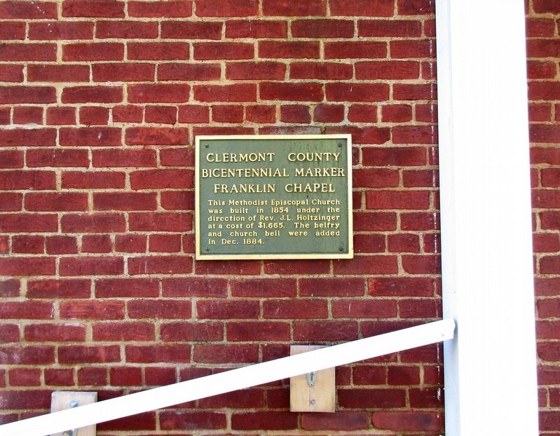
Photographed By Rev. Ronald Irick, November 5, 2016
2. Franklin Chapel Marker
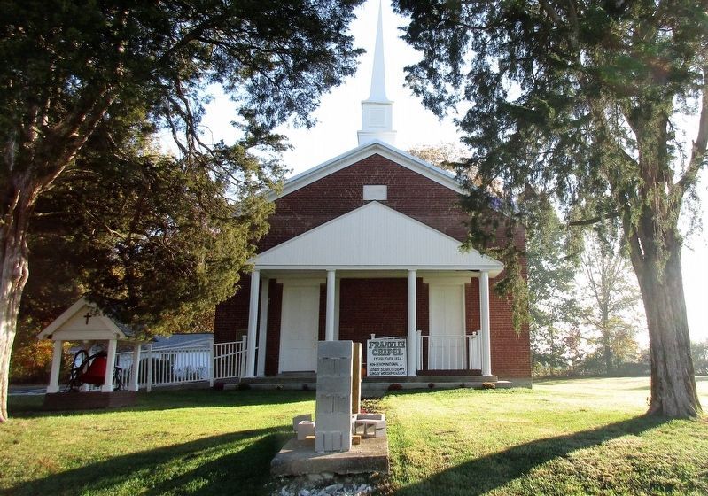
Photographed By Rev. Ronald Irick, November 5, 2016
3. Franklin Chapel Marker
The chapel, as seen from the road; the marker is at the left
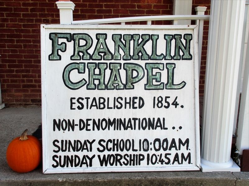
Photographed By Rev. Ronald Irick, November 5, 2016
4. Franklin Chapel Marker
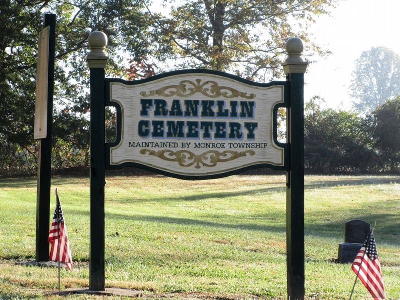
Photographed By Rev. Ronald Irick, November 5, 2016
5. Franklin Chapel Marker
The adjacent cemetery

Photographed By Rev. Ronald Irick, November 5, 2016
6. Franklin Chapel Marker
The church bell
Credits. This page was last revised on August 28, 2022. It was originally submitted on November 22, 2016, by Rev. Ronald Irick of West Liberty, Ohio. This page has been viewed 276 times since then and 27 times this year. Photos: 1, 2, 3, 4, 5, 6. submitted on November 22, 2016, by Rev. Ronald Irick of West Liberty, Ohio. • Bill Pfingsten was the editor who published this page.

