Tuskegee Airmen National Historic Site in Macon County, Alabama — The American South (East South Central)
New Vistas
Tuskegee Airmen National Historic Site
Photographed by Mark Hilton, November 16, 2016
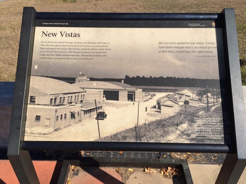
1. New Vistas Marker
My eyes were opened to new vistas. I mean, I just didn't imagine that I, as a black person at that time, would have this opportunity. George Abercrombie, 2001
[Photo caption]
From here you can see Moton Field
from nearly the same viewpoint
as this historic photograph, taken
about 1945. The hangar nearest you
built in 1941, was the first hangar
built at Moton Field. The farther
hangar with the control tower
followed in 1943 as part of the rapid
expansion of the flying program.
Erected by the National Park Service, Department of the Interior.
Topics and series. This historical marker is listed in these topic lists: African Americans • Air & Space • War, World II. In addition,
this page online
Location. 32° 27.395′ N, 85° 40.84′ W. Marker is in Tuskegee Airmen National Historic Site, Alabama, in Macon County. It can be reached from Chappie James Avenue. Touch for map. Marker is at or near this postal address: 1616 Chappie James Ave, Tuskegee AL 36083, United States of America. Touch for directions.

Regionally, this marker is in the American South, specifically in the Deep South, and in the Black Belt. Globally, it is in North America, a Gulf of Mexico state, the Western Hemisphere, the Western World, and the Anglosphere. Historically, it finds itself in what was once the territory of the Mississippian Culture, one of the Confederate States of America, and the Antebellum South.
Other nearby markers. At least 8 other markers are within walking distance of this marker: The Place Where We Learned to Fly (here, next to this marker); Hangar No. 1 (within shouting distance of this marker); A Bit to Eat (within shouting distance of this marker); Ghost Structures (within shouting distance of this
Photographed by Mark Hilton, November 16, 2016
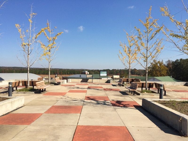
2. New Vistas Marker is on left in far background. Moton Field is to left and below.
Photographed by Mark Hilton, November 16, 2016
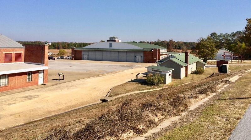
3. View of the hangars, control tower and other Moton Field buildings.
Credits. This page was last revised on November 11, 2025. It was originally submitted on November 24, 2016, by Mark Hilton of Montgomery, Alabama. This page has been viewed 531 times since then and 25 times this year. Photos: 1, 2, 3. submitted on November 24, 2016, by Mark Hilton of Montgomery, Alabama.
