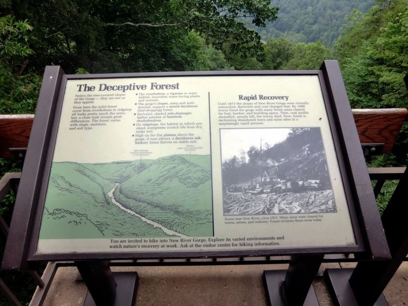
The Deceptive Forest
New River Gorge
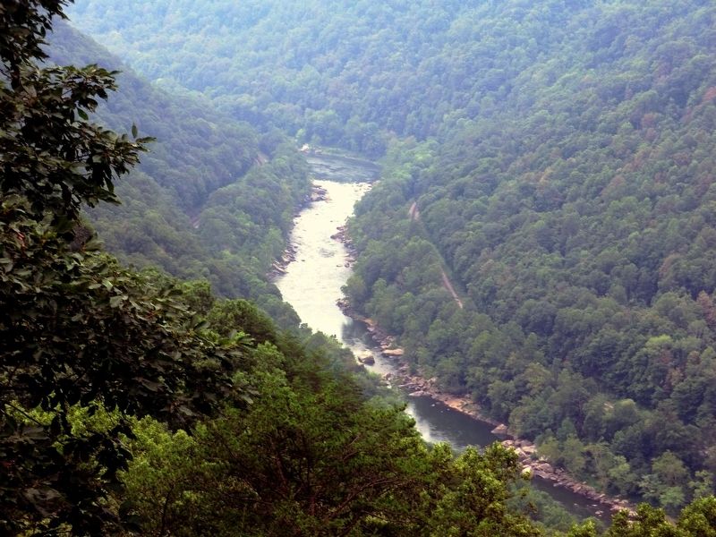
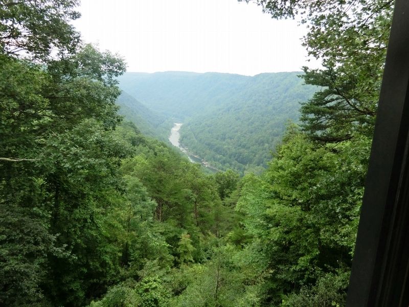
From here the solid forest cover from riverbottom to ridgetop all looks pretty much the same, but, a close look reveals great differences. The forest varies with slope, moisture, and soil type.
You are invited to hike into New River Gorge. Explore its varied environments and watch nature’s recovery at work. Ask at the visitor center for hiking information.
(Inscription above the image on the right)
Rapid Recovery
Until 1873 the slopes of New River Gorge were virtually untouched. Railroads and coal changed that. By 1900 towns lined the gorge with many forest areas cleared for fuel, lumber, and building space. Then, coal profits dwindled, people left, the towns died. Now, forest is reclaiming abandoned town and mine sites in a surprisingly rapid process.
(Inscription below the image on the left)
Scene near New River, circa 1915. Many areas were cleared for towns, mines, and industry. Forest reclaims those areas today.
Erected by National Park Service, U.S. Department of the Interior.
Topics. This historical marker is listed in these topic lists: Environment • Industry & Commerce • Railroads & Streetcars. A significant historical year for this entry is 1873.
Location.
Other nearby markers. At least 8 other markers are within walking distance of this marker. New River (here, next to this marker); Smoke, Coke, Coal, and Kaymoor (a few steps from this marker); New River Gorge Scenic Drives (a few steps from this marker); Industrial Past of the New River Gorge (a few steps from this marker); Trail to Bridge Overlook (within shouting distance of this marker); The Bridge (within shouting distance of this marker); Welcome to New River Gorge National River (within shouting distance of this marker); New River Gorge Bridge (about 300 feet away, measured in a direct line). Touch for a list and map of all markers in Lansing.
Credits. This page was last revised on May 19, 2023. It was originally submitted on November 26, 2016, by Don Morfe of Baltimore, Maryland. This page has been viewed 425 times since then and 15 times this year. Photos: 1, 2, 3, 4. submitted on November 26, 2016, by Don Morfe of Baltimore, Maryland. • Bill Pfingsten was the editor who published this page.


