Near Turkey in Hall County, Texas — The American South (West South Central)
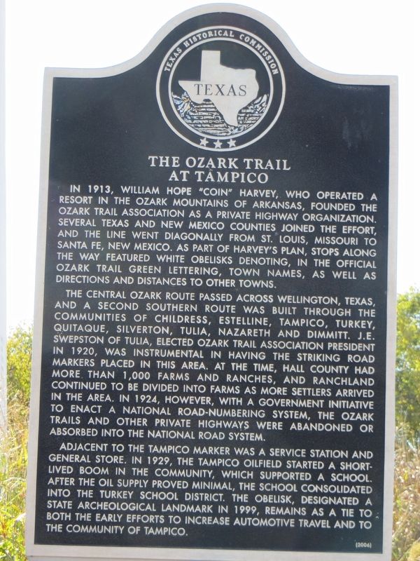
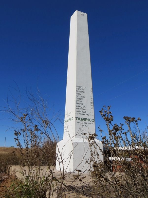
The Ozark Trail at Tampico
The central Ozark route passed across Wellington, Texas, and a second southern route was built through the communities of Childress, Estelline, Tampico, Turkey, Quitaque, Silverton, Tulia, Nazareth and Dimmitt. J.E. Swepston of Tulia, elected Ozark Trail Association president in 1920, was instrumental in having the striking road markers placed in this area. At the time, Hall County had more than 1,000 farms and ranches, and ranchland continued to be divided into farms as more settlers arrived in the area. In 1924, however, with a government initiative to enact a national road-numbering system, the Ozark Trails and other private highways were abandoned or absorbed into the national road system.
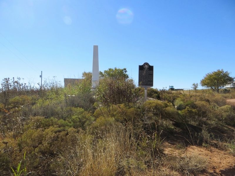
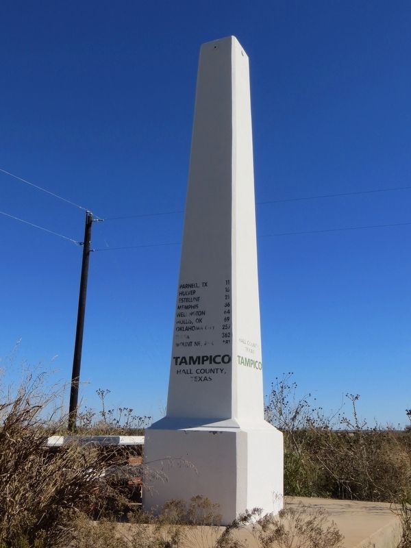
Adjacent to the Tampico marker was a service station and general store. In 1929, the Tampico oilfield started a short-lived boom in the community, which supported a school. After the oil supply proved minimal, the school consolidated into the Turkey school district. The obelisk, designated a State Archeological Landmark in 1999, remains as a tie to both the early efforts to increase automotive travel and to the community of Tampico.
Erected 2006 by Texas Historical Commission. (Marker Number 13818.)
Topics. This historical marker is listed in this topic list: Roads & Vehicles. A significant historical year for this entry is 1913.
Location. 34° 28.381′ N, 100° 46.719′ W. Marker is near Turkey, Texas, in Hall County. Marker can be reached from Farm to Market Road 657, 0.2 miles south of Texas Highway 86. Marker is on unpaved road 0.2 miles south of TX-86 and FM-657 intersection. Touch for map. Marker is in this post office area: Turkey TX 79261, United States of America. Touch for directions.
Other nearby markers. At least 8 other markers are within 9 miles of this marker, measured as the crow flies. First Methodist Church of Turkey (approx. 8˝ miles away); 1928 Phillips 66 Service Station (approx. 8.6 miles away); Turkey High School (approx. 8.7 miles away); Turkey Texas (approx. 8.7 miles away); Hotel Turkey (approx. 8.7 miles away); Ham's Barber Shop (approx. 8.8 miles away); Quanah Parker Trail (approx. 8.9 miles away); Bob Wills (approx. 8.9 miles away). Touch for a list and map of all markers in Turkey.
Credits. This page was last revised on August 5, 2023. It was originally submitted on November 30, 2016, by Bill Kirchner of Tucson, Arizona. This page has been viewed 723 times since then and 100 times this year. Photos: 1, 2. submitted on November 30, 2016, by Bill Kirchner of Tucson, Arizona. 3. submitted on August 1, 2023, by Jeff Leichsenring of Garland, Texas. 4, 5. submitted on November 30, 2016, by Bill Kirchner of Tucson, Arizona.
