Bagdad in Santa Rosa County, Florida — The American South (South Atlantic)
The Ecology of the Blackwater River
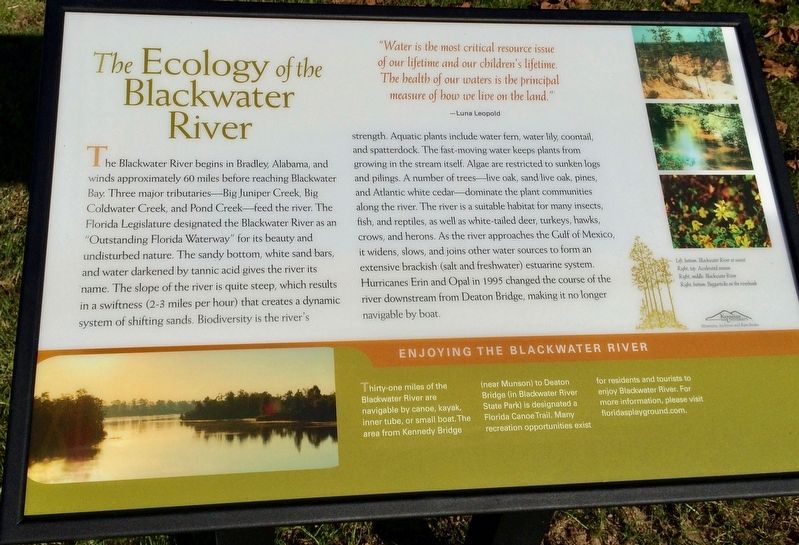
The Blackwater River begins in Bradley, Alabama, and winds approximately 60 miles before reaching Blackwater Bay. Three major tributaries—Big Juniper Creek, Big Coldwater Creek, and Pond Creek—feed the river. The Florida Legislature designated the Blackwater River as an "Outstanding Florida Waterway" for its beauty and undisturbed nature. The sandy bottom, white sand bars, and water darkened by tannic acid gives the river its name. The slope of the river is quite steep, which results in a swiftness (2-3 miles per hour) that creates a dynamic system of shifting sands. Biodiversity is the river's strength. Aquatic plants include water fern, water lily, coontail and spatterdock. The fast-moving water keeps plants from growing in the stream itself. Algae are restricted to sunken logs and pilings. A number of trees live oak, sand live oak, pines, and Atlantic white cedar dominate the plant communities along the river. The river is a suitable habitat for many insects fish, and reptiles, as well as white-tailed deer, turkeys, hawks, crows, and herons. As the river approaches the Gulf of Mexico it widens, slows, and joins other water sources to form an extensive brackish (salt and freshwater) estuarine system Hurricanes Erin and Opal in 1995 changed the course of the river downstream from Deaton Bridge, making it no longer navigable by boat.
Enjoying the Blackwater River
Thirty-one miles of the Blackwater River are navigable by canoe, kayak inner tube, or small boat. The area from Kennedy Bridge (near Munson) to Deaton Bridge (in Blackwater River State Park) is designated a Florida Canoe Trail. Many recreation opportunities exist for residents and tourists to enjoy Blackwater River. For more information, please visit floridasplayground.com.
"Water is the most critical resource issue of our lifetime and our children's lifetime. The health of our waters is the principal measure of how we live on the land."
—Luna Leopold
Captions:
Left, bottom: Blackwater River at sunset
Right, top: Accelerated erosion
Right, middle: Blackwater River
Right, bottom: Beggarticks on the riverbank
Erected 2016 by Bagdad Waterfronts Florida Partnership, Inc.
Topics. This historical marker is listed in these topic lists: Animals • Horticulture & Forestry • Waterways & Vessels. A significant historical year for this entry is 1995.
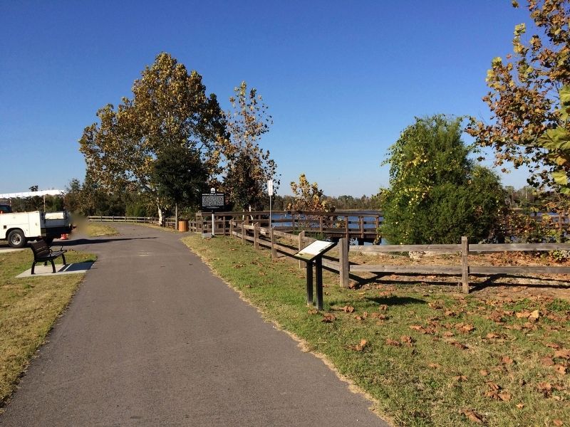
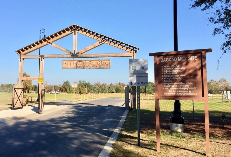
Location. 30° 36.301′ N, 87° 1.871′ W. Marker is in Bagdad, Florida, in Santa Rosa County. Marker can be reached from Main Street, 0.1 miles east of Forsyth Street. Located within the Bagdad Mill Site Park. Touch for map. Marker is at or near this postal address: 6953 Main Street, Bagdad FL 32530, United States of America. Touch for directions.
Other nearby markers. At least 8 other markers are within walking distance of this marker. The Skirmish on the Blackwater (within shouting distance of this marker); Bagdad Lumber Mill / Shipbuilding at Bagdad (within shouting distance of this marker); Civil War and Reconstruction in Northwest Florida (about 300 feet away, measured in a direct line);
Bagdad Mill Site Park (about 400 feet away); The Early History of Bagdad (about 400 feet away); Working for the Company (about 400 feet away); The Bagdad Mill Site (about 400 feet away); Submerged Aquatic Vegetation (about 400 feet away). Touch for a list and map of all markers in Bagdad.
Credits. This page was last revised on June 20, 2018. It was originally submitted on December 8, 2016, by Mark Hilton of Montgomery, Alabama. This page has been viewed 423 times since then and 20 times this year. Photos: 1, 2, 3. submitted on December 8, 2016, by Mark Hilton of Montgomery, Alabama.


