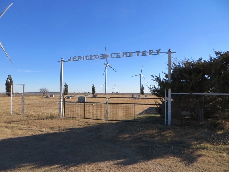
Near Clarendon in Donley County, Texas — The American South (West South Central)
Jericho Cemetery
(1 mile west)
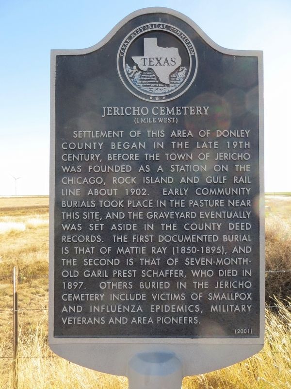
Settlement of this area of Donley County began in the late 19th century, before the town of Jericho was founded as a station on the Chicago, Rock Island and Gulf rail line about 1902. Early community burials took place in the pasture near this site, and the graveyard eventually was set aside in the county deed records. The first documented burial is that of Mattie Ray (1850-1895), and the second is that of seven-month-old Garil Prest Schaffer, who died in 1897. Others buried in the Jericho Cemetery include victims of smallpox and influenza epidemics, military veterans and area pioneers.
Erected 2001 by Texas Historical Commission. (Marker Number 12613.)
Topics. This historical marker is listed in this topic list: Cemeteries & Burial Sites. A significant historical year for this entry is 1902.
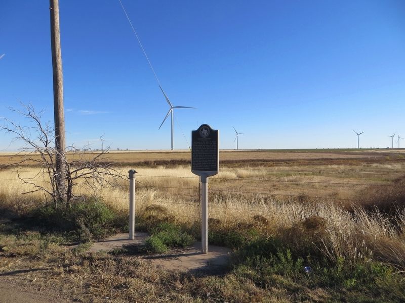
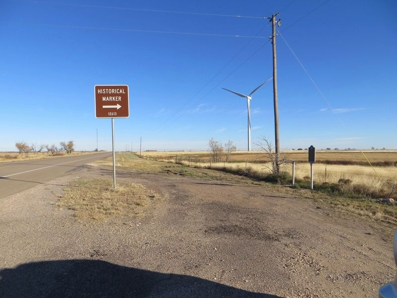
Location. 35° 10.134′ N, 100° 54.194′ W. Marker is near Clarendon, Texas, in Donley County. Marker is on State Highway 70, one mile Interstate 40, on the left when traveling south. Touch for map. Marker is in this post office area: Clarendon TX 79226, United States of America. Touch for directions.
Other nearby markers. At least 8 other markers are within 5 miles of this marker, measured as the crow flies. Indian Battlefield (approx. 3˝ miles away); "Gateway To The Southwest" (approx. 4.1 miles away); "The Naming Of Route 66" (approx. 4.2 miles away); "The Convertible And The Open Road" (approx. 4.2 miles away); "The Dust Bowl Days" (approx. 4.2 miles away); "Crossing The Native American Nations" (approx. 4.2 miles away); "A Cultural Calamity" (approx. 4.2 miles away); "The Beginning" (approx. 4.2 miles away).
Credits. This page was last revised on November 6, 2020. It was originally submitted on December 12, 2016, by Bill Kirchner of Tucson, Arizona. This page has been viewed 660 times since then and 38 times this year. Photos: 1. submitted on December 12, 2016, by Bill Kirchner of Tucson, Arizona. 2. submitted on November 5, 2020, by Craig Doda of Napoleon, Ohio. 3, 4, 5. submitted on December 12, 2016, by Bill Kirchner of Tucson, Arizona.
