Downtown Austin in Travis County, Texas — The American South (West South Central)
The Archive War
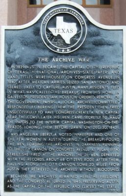
In 1839 Austin became the capital of the Republic of Texas. The National Archives – state papers and land titles – were housed on Congress Avenue. In 1842, after Mexican armies seized San Antonio and seemed likely to capture Austin, many residents fled in what was called “The Breakup”. From his home in Galveston, President Sam Houston ordered removal of the government papers. A local “Archive Committee” responded by burying them. The President then tried unsuccessfully to have Congress create a new capital near the coast. Later his men came secretly to haul the papers to the interim capital, Washington-on-the-Brazos. Loading them before dawn on Dec. 30, 1842.
Mrs. Angelina Eberly, a noted innkeeper and one of the few women in Austin during The Breakup, found the men loading the archives in darkness. Running to the city cannon on Congress Avenue at Pecan (6th) Street, she fired at the wagons. The 26 men departed with the records. About 68 citizens rode after them, hauling along the city cannon. Some 20 miles from Austin they retrieved the archives without bloodshed.
Because the archives remained here, the President and the Congress returned in 1845, preserving Austin as the capital of the Republic and (later) the state.
Erected 1978 by Texas Historical Commission. (Marker Number 14722.)
Topics. This historical marker is listed in these topic lists: Government & Politics • Notable Events • War, Texas Independence. A significant historical month for this entry is December 1871.
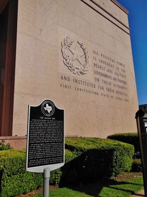
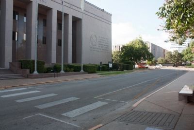
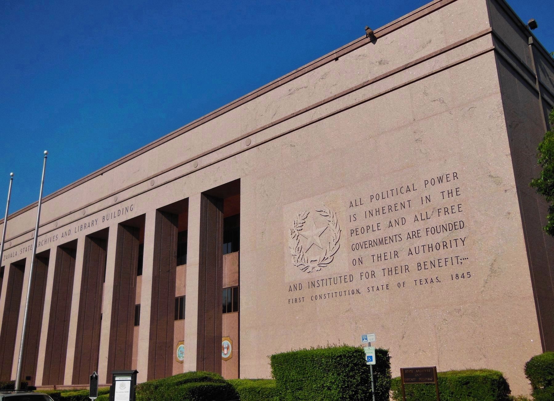
Location. 30° 16.426′ N, 97° 44.322′ W. Marker is in Austin, Texas, in Travis County. It is in Downtown Austin. Marker is on Brazos Street south of East 13th Street, on the left when traveling south. The marker is in front of the Lorenzo de Zavala Archives and Library Building. Touch for map. Marker is at or near this postal address: 1201 Brazos Street, Austin TX 78701, United States of America. Touch for directions.
Other nearby markers. At least 8 other markers are within walking distance of this marker. The Lorenzo de Zavala State Archives and Library Building (within shouting distance of this marker); The Price of Liberty (within shouting distance of this marker); Texas and the Civil War (within shouting distance of this marker); Hood’s Texas Brigade Monument (within shouting distance of this marker); Capitol Greenhouses (within shouting distance of this marker); 1928 Granite Water Fountain (about 300 feet away, measured in a direct line); Grotto and Lagoon (about 400 feet away); Artesian Well and East Drinking Fountain (about 400 feet away). Touch for a list and map of all markers in Austin.
Related marker. Click here for another marker that is related to this marker. See marker near Indianola, TX, where Angelina Bell Peyton Eberly was buried.
Also see . . . Texas State Library & Archives Commission - The Archives War. (Submitted on December 23, 2009, by Keith Peterson of Cedar Park, Texas.)
Credits. This page was last revised on February 1, 2023. It was originally submitted on December 23, 2009, by Keith Peterson of Cedar Park, Texas. This page has been viewed 1,124 times since then and 45 times this year. Last updated on December 24, 2016, by Richard Denney of Austin, Texas. Photos: 1. submitted on December 23, 2009, by Keith Peterson of Cedar Park, Texas. 2. submitted on January 2, 2018, by Cosmos Mariner of Cape Canaveral, Florida. 3. submitted on August 24, 2014, by Michael Heinich of Austin, Texas. 4. submitted on January 2, 2018, by Cosmos Mariner of Cape Canaveral, Florida. • Bill Pfingsten was the editor who published this page.


