Near Crofton in Cedar County, Nebraska — The American Midwest (Upper Plains)
Meeting the Yankton Sioux
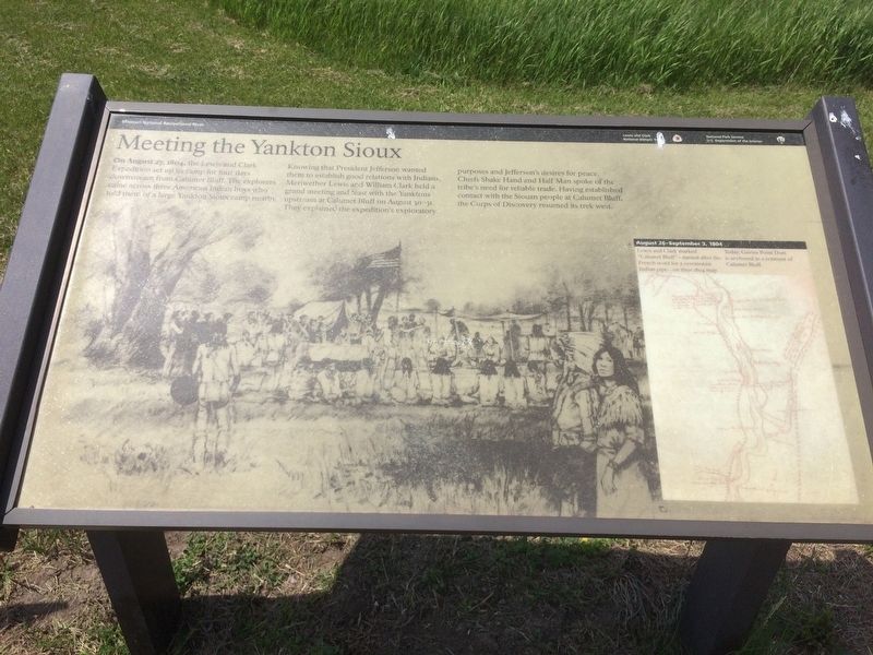
On August 27, 1804, the Lewis and Clark Expedition set up its camp for four days downstream from Calumet Bluff. The explorers came across three American Indian boys who told them of a large Yankton Sioux camp nearby.
Knowing that President Jefferson wanted them to establish good relations with Indians, Meriwether Lewis and William Clark held a grand meeting and feast with the Yanktons upstream at Calumet Bluff on August 30-31. They explained the expedition's exploratory purposes and Jefferson's desires for peace. Chiefs Shake Hand and Half Man spoke of the tribe's need for reliable trade. Having establish contact with the Siouan people at Calumet Bluff the Corps of Discovery resumed its trek west.
map inset
August 26-September 3, 1804
Lewis and Clark marked "Calumet Bluff" - named after the French word for a ceremonial Indian pipe - on their 1804 map. Today, Gavins Point Dam is anchored in a remnant of Calumet Bluff.
Missouri National Recreational River
Lewis and Clark National Historic Trail
Erected by National Park Service, U.S. Department of the Interior.
Topics and series. This historical marker is listed in these topic lists: Exploration • Native Americans • Settlements & Settlers. In addition, it is included in the Former U.S. Presidents: #03 Thomas Jefferson, and the Lewis & Clark Expedition series lists. A significant historical date for this entry is August 27, 1804.
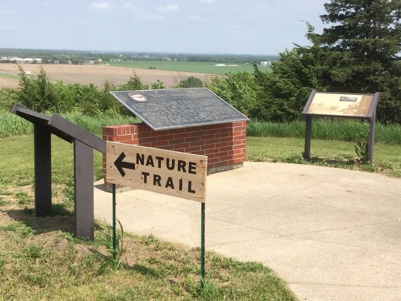
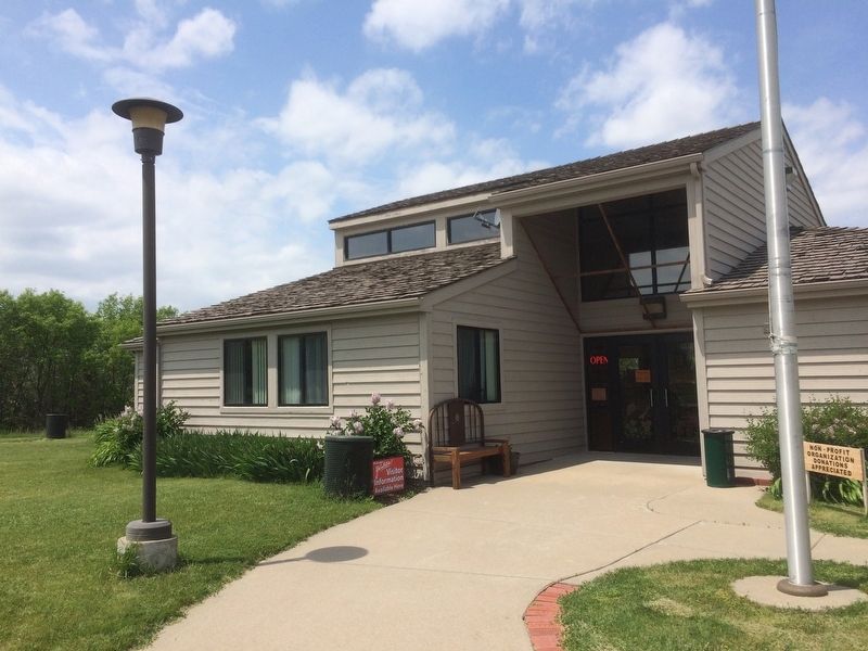
Location. 42° 49.728′ N, 97° 24.231′ W. Marker is near Crofton, Nebraska, in Cedar County. Marker is on U.S. 81, 1˝ miles south of 898th Rd. This marker is located at the Corps of Discovery Welcome Center. Touch for map. Marker is at or near this postal address: 89705 US-81, Crofton NE 68730, United States of America. Touch for directions.
Other nearby markers. At least 8 other markers are within 3 miles of this marker, measured as the crow flies. Scenic Missouri Valley (here, next to this marker); Meridian Highway (here, next to this marker); The Great Missouri River (about 400 feet away, measured in a direct line); Historic Missouri Valley (about 400 feet away); Flood of 1881 Leaves Lost Settlements in its Wake (approx. 2˝ miles away in South Dakota); Crossroads of Culture (approx. 2.6 miles away in South Dakota); USS Scorpion (SS-278) (approx. 2.7 miles away in South Dakota); William H. McMaster (approx. 2.7 miles away in South Dakota). Touch for a list and map of all markers in Crofton.
Related markers. Click here for a list of markers that are related to this marker.
Credits. This page was last revised on September 7, 2021. It was originally submitted on February 14, 2017, by Ruth VanSteenwyk of Aberdeen, South Dakota. This page has been viewed 715 times since then and 78 times this year. Photos: 1, 2, 3. submitted on February 14, 2017, by Ruth VanSteenwyk of Aberdeen, South Dakota. • Bill Pfingsten was the editor who published this page.


