Near Spotsylvania Courthouse in Spotsylvania County, Virginia — The American South (Mid-Atlantic)
Mayhem in the Muleshoe
The Battle of Spotsylvania Court House
— Fredericksburg and Spotsylvania National Military Park —
Inscription.
Surrounded on all sides by low ridge lines, Neil MccCoull's house sat in the center of the famous Muleshoe Salient. On the night of May 8, 1864, Confederate engineers built the bulging line of earthworks that wrapped around McCoull's farm to the west, north and east. When Union troops broke through the Muleshoe on May 12, Confederates swarmed over McCoull's farm, desperate to reclaim their lines.
Thousands of troops passed by this house en route to some of the most desperate fighting the world had ever seen - at the Bloody Angle, only a few hundred yards in front of you. Hundreds of thousands of bullets pelted the earth around the house; artillery shells by the hundreds screeched overhead. When the Confederates fell back to a new line early on the morning of May 13, they left behind McCoull's bullet-riddled house and a field strewn with corpses.
Erected by National Park Service, U.S. Department of the Interior.
Topics. This historical marker is listed in this topic list: War, US Civil. A significant historical date for this entry is May 8, 1857.
Location. 38° 13.211′ N, 77° 35.997′ W. Marker is near Spotsylvania Courthouse, Virginia, in Spotsylvania County. Marker is on McCoull Road, on the right when traveling north. Located at Stop five (McCoull House Site) on the driving tour of Spotsylvania Battlefield unit of the Fredericksburg and Spotsylvania National Military Park. Touch for map. Marker is in this post office area: Spotsylvania VA 22553, United States of America. Touch for directions.
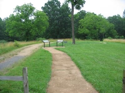
Other nearby markers. At least 8 other markers are within walking distance of this marker. The McCoull House (here, next to this marker); McCoull Spring (about 300 feet away, measured in a direct line); Ramseur's Brigade (about 600 feet away); Spotsylvania Campaign (approx. 0.2 miles away); Aftermath (approx. 0.2 miles away); Confederate Counterattack (approx. 0.2 miles away); Upton’s Assault (approx. 0.2 miles away); McGowan's Brigade (approx. 0.2 miles away). Touch for a list and map of all markers in Spotsylvania Courthouse.
More about this marker. The background of the marker is a bird's-eye depiction of the Muleshoe salient on May 12, 1864. Indicated are the location of the marker as well as the Harrison, McCoull, and Landram Houses. The call-outs also indicate the location of the Bloody Angle and East Angle.
Also see . . . McCoull House site. National Park Service website entry (Submitted on August 15, 2008, by Craig Swain of Leesburg, Virginia.)

Photographed By Craig Swain, July 6, 2008
3. Confederate Counterattacks
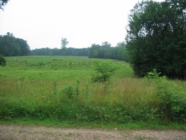
From the marker location looking northwest. When the angles of the muleshoe were attacked on the morning of May 12, Confederate troops staged through the area of the McCoull house in essentially three directions in order to stabilize the front. Most of Rodes' Confederate division attacked to the west, attempting to regain the sector along what is today Anderson Drive. The direction of the counterattacks was an axis roughly parallel to the treeline on the right of the photo.
Credits. This page was last revised on December 15, 2022. It was originally submitted on August 15, 2008, by Craig Swain of Leesburg, Virginia. This page has been viewed 1,323 times since then and 18 times this year. Photos: 1, 2, 3. submitted on August 15, 2008, by Craig Swain of Leesburg, Virginia.

