Waynesboro in Burke County, Georgia — The American South (South Atlantic)
The J.D. Roberts Home
A Witness to the Battles for Waynesborough
— March to the Sea Heritage Trail —
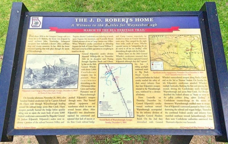
On Saturday afternoon, November 26, 1864, a few hundred Federal cavalrymen led by Captain Edward M. Hayes rode through Waynesborough heading toward the railroad bridge across Brier Creek. Hayes' troopers partially burned the bridge before quickly riding west to rejoin the main body of some 4,000 Federal cavalrymen commanded by Brigadier General H. Judson Kilpatrick. Kilpatrick's orders were to destroy a portion of the railroad between Millen and Augusta, deceive Confederates into believing an attack upon Augusta was imminent, and if possible liberate Federal prisoners of war at Camp Lawton near Millen. When Wheeler's cavalry committed to defending Augusta the bulk of Union Major General William T. Shermans army faced little opposition in completing its march to the sea.
General Kilpatrick's cavalry division departed Milledgeville on November 24th on its deceptive raid. Passing through Ogeechee Shoals and Gibson, by late on the 26th General Wheeler with about 2,000 Confederate troopers was in pursuit. Near continuous skirmishing on the 27th between Sylvan Grove and Ivanhoe Plantation west of Waynesborough pushed Kilpatrick's troopers through town. They burned railroad equipment and warehouses which in turn set several houses ablaze. After Kilpatrick's two detachments rejoined his command and reported their lack of success at the Brier Creek railroad bridge and Camp Lawton respectively, he decided to return to General Sherman's main army. They camped for the night three miles south of town. Wheeler reported success in "extinguishing the fire [in town] in all but one dwelling" while skirmishing all night with the Federals.
Before dawn on the 28th General Wheeler's cavalrymen resumed their attacks. They almost captured General Kilpatrick although they did "capture" his hat. A riding gunfight continued south to Big Buck Head Creek and beyond before the Federal cavalry reached the safety of their army's infantry. Four days later Kilpatrick's troopers returned to the Waynesborough area, reinforced by a division of infantry.
From Louisville on Thursday, December 1st, General Kilpatrick's cavalry moved northeast toward Waynesborough accompanied by the infantry division of Brigadier General Absalom Baird. On the 2nd they skirmished with General Wheeler's outnumbered troopers along Rocky Creek and on the 3rd at Thomas Station. On Sunday the 4th Kilpatrick's cavalrymen attacked Wheeler's multiple barricades, flanking the first and piercing the second, driving the Confederates north through Waynesborough and across Brier Creek. An Ohioan described the Federal advance as "Away we went on the gallop...carbines firing, sabers flashing." A Confederate counter-charge on the streets of downtown Waynesborough enabled most to escape. Part of Kilpatrick's command pursued to Brier Creek, destroying the railroad and wagon bridges. Thereafter the combined Federal cavalry and infantry force marched southeast toward Jacksonborough. Only then were Confederate authorities convinced that Sherman's objective was Savannah.
[Photo captions]
Left: "Kilpatrick's Last Charge at Waynesborough, Georgia, December 4, 1864"
(by Theodore R. Davis, Harper's Weekly)
Middle map: Second Battle of Waynesborough, Georgia Sunday, December 4, 1864
Right map: Significant cavalry engagements, November 26 to December 4, 1864
(Lloyd's Topographical Map of Georgia, 1864)
Erected by Georgia Civil War Heritage Trails, Inc. (Marker Number L25.)
Topics and series. This historical marker is listed in these topic lists: Notable Buildings • Railroads & Streetcars • War, US Civil. In addition, it is included in the Georgia Civil War Trails, and the Sherman’s March to the Sea series lists. A significant historical date for this entry is November 26, 1864.
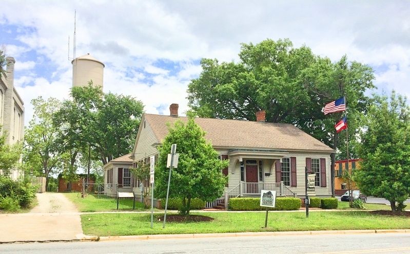
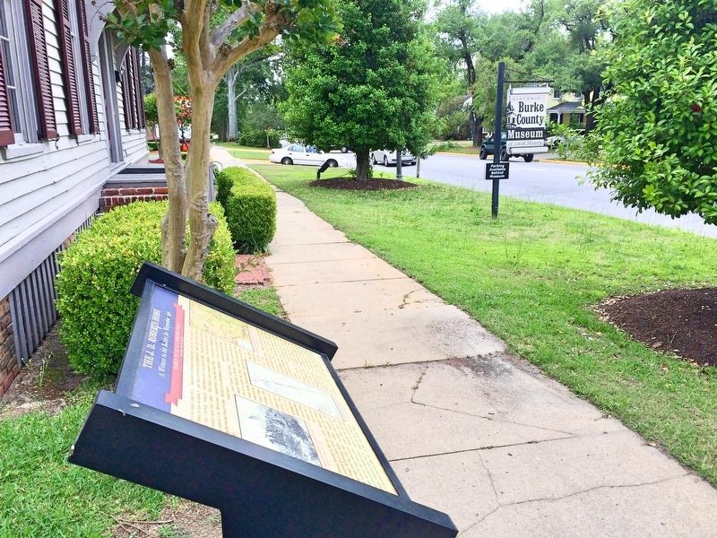
Location. 33° 5.359′ N, 82° 0.912′ W. Marker is in Waynesboro, Georgia, in Burke County. Marker is on South Liberty Street (U.S. 25) south of 6th Street, on the left when traveling south. Located in front of the Burke County Museum. Touch for map. Marker is at or near this postal address: 536 South Liberty Street, Waynesboro GA 30830, United States of America. Touch for directions.
Other nearby markers. At least 8 other markers are within walking distance of this marker. To Honor George Washington (within shouting distance of this marker); Waynesborough (about 400 feet away, measured in a direct line); Washington’s Southern Tour (about 400 feet away); Burke County Veterans Memorial (about 400 feet away); Burke County (about 400 feet away); Lost Burke County Men S.S. Otranto (about 400 feet away); Burke County's 8 Governors (about 400 feet away); Shell Bluff (approx. 0.2 miles away). Touch for a list and map of all markers in Waynesboro.
Credits. This page was last revised on May 9, 2017. It was originally submitted on May 8, 2017, by Mark Hilton of Montgomery, Alabama. This page has been viewed 724 times since then and 39 times this year. Last updated on May 9, 2017, by Byron Hooks of Sandy Springs, Georgia. Photos: 1, 2, 3. submitted on May 8, 2017, by Mark Hilton of Montgomery, Alabama.


