Washington Township near Blue Ridge Summit in Franklin County, Pennsylvania — The American Northeast (Mid-Atlantic)
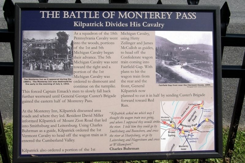
The Battle of Monterey Pass
Kilpatrick Divides His Cavalry
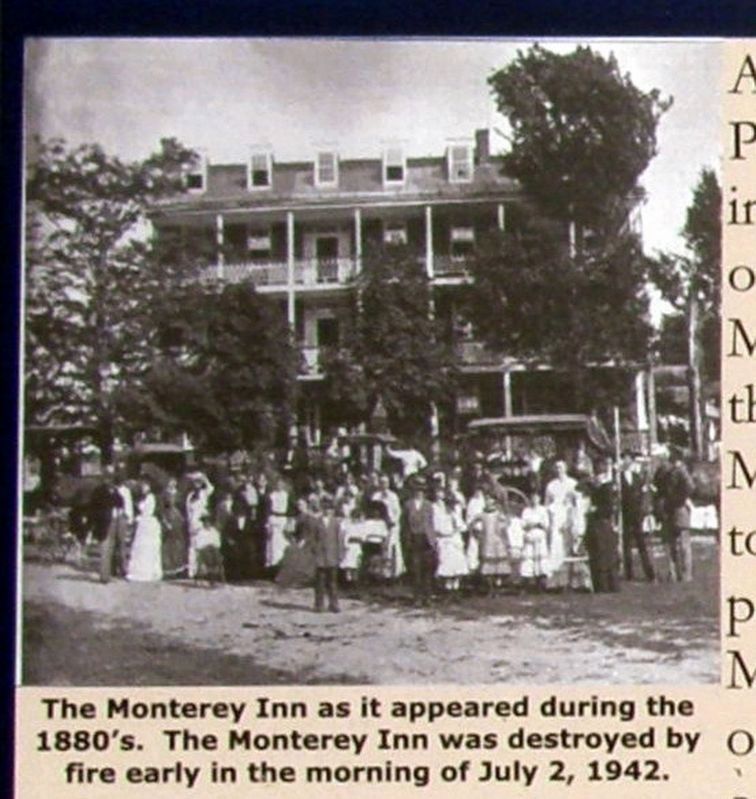
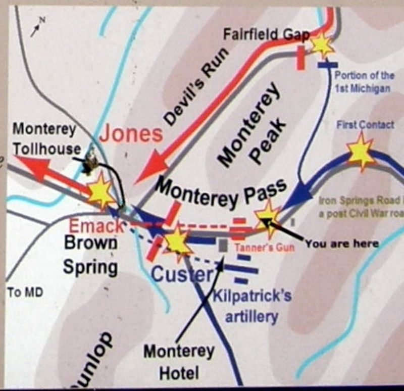
At the Monterey Inn, Kilpatrick discussed area roads and where they led. Resident David Miller informed Kilpatrick of Mount Zion Road that led into Smithsburg and Leitersburg. Using Charles Buhrman as a guide, Kilpatrick ordered the 1st Vermont Cavalry to head off the wagon train as it entered the Cumberland Valley.
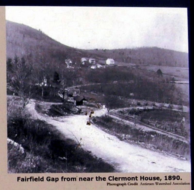
Kilpatrick also ordered a portion of the 1st Michigan Cavalry, using Hetty Zielinger and James McCullogh as guides, to head off the Confederate wagon train coming into Fairfield Gap. With plans to hit the wagon train from the rear and front, General Kilpatrick now planned to cut it in half by sending Custer’s Brigade forward to Red Run.
“Kilpatrick asked me which way I thought the wagon train was going, and where I supposed they would strike the river. I told him they could go by Smithburg, or Boonesboro, and cross the river at Sharpsburg, or go by Leitersburg, and Hagerstown, and cross at Williamsport.” Charles Buhrman
Topics. This historical marker is listed in this topic list: War, US Civil. A significant historical date for this entry is July 4, 1863.
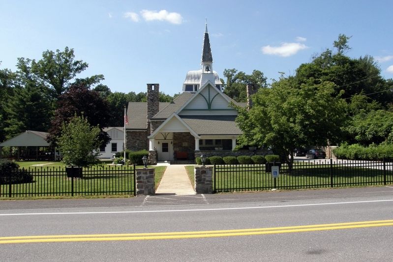
Location. 39° 44.328′ N, 77° 28.139′ W. Marker is near Blue Ridge Summit, Pennsylvania, in Franklin County. It is in Washington Township. Marker is on Charmian Road west of Clermont Avenue, on the right when traveling west. Touch for map. Marker is at or near this postal address: 14753 Charmian Rd, Blue Ridge Summit PA 17214, United States of America. Touch for directions.
Other nearby markers. At least 8 other markers are within walking distance of this marker. A different marker also named The Battle of Monterey Pass (here, next to this marker); a different marker also named The Battle of Monterey Pass (here, next to this marker); a different marker also named The Battle of Monterey Pass (a few steps from this marker); a different marker also named The Battle of Monterey Pass (approx. 0.4 miles away); Monterey Academy (approx. 0.4 miles away); a different marker also named The Battle of Monterey Pass (approx. half a mile away); a different marker also named The Battle of Monterey Pass (approx. half a mile away); 10,000 Soldiers Fight at Monterey Pass (approx. half a mile away). Touch for a list and map of all markers in Blue Ridge Summit.
Related marker. Click here for another marker that is related to this marker. This replaces an earlier marker at the location, with
different text and layout.
Credits. This page was last revised on February 7, 2023. It was originally submitted on May 16, 2017, by Larry Gertner of New York, New York. This page has been viewed 470 times since then and 31 times this year. Last updated on July 11, 2022, by Carl Gordon Moore Jr. of North East, Maryland. Photos: 1, 2, 3, 4, 5, 6. submitted on May 16, 2017, by Larry Gertner of New York, New York. • Bernard Fisher was the editor who published this page.
