Suffolk, Virginia — The American South (Mid-Atlantic)
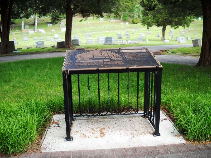
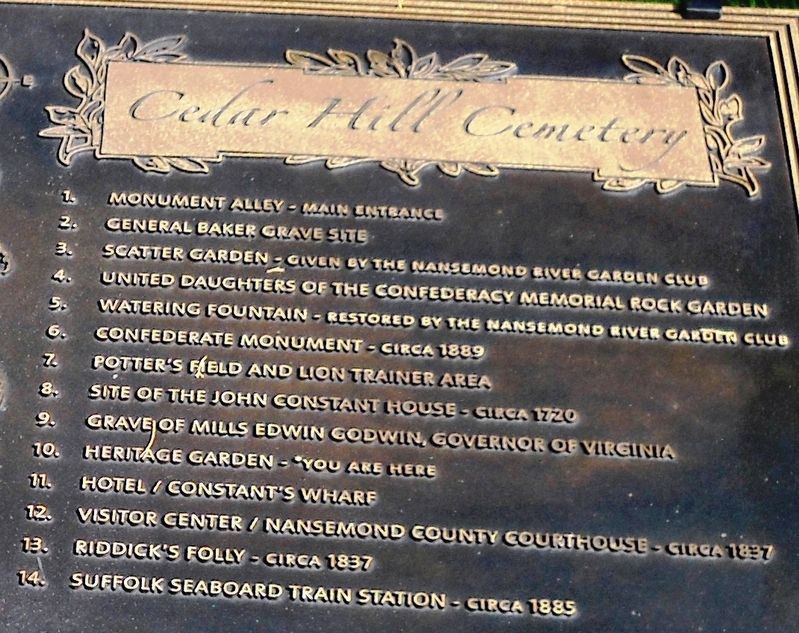
Cedar Hill Cemetery
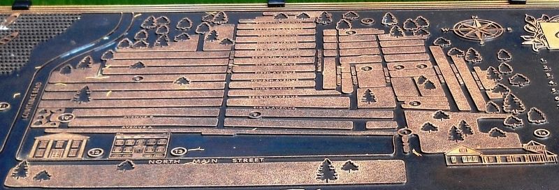
(map index)
1. Monument Alley – Main Entrance
2. General Baker Grave Site
3. Scatter Garden – Given by the Nansemond River Garden Club
4. United Daughters of the Confederacy Memorial Rock Garden
5. Watering Fountain – Restored by the Nansemond River Garden Club
6. Confederate Monument – Circa 1889
7. Potterís Field and Lion Trainer Area
8. Site of the John Constant House – Circa 1720
9. Grave of Mills Edwin Godwin, Governor of Virginia
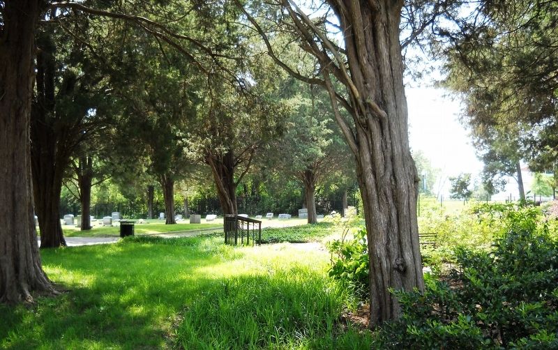
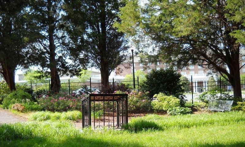
10. Heritage Garden – You are here
11. Hotel/Constantís Wharf
12. Visitor Center/Nansemond County Courthouse – Circa 1837
13. Riddickís Folly – Circa 1837
14. Suffolk Seaboard Train Station – Circa 1885
(map street names, listed here alphabetically)
Avenue A, Avenue B, Cedar Street, Cherry Street, Eighth Avenue, Eleventh Avenue, Elm Street, Fifth Avenue, First Avenue, Fourth Avenue, Holly Street, Magnolia Street, Maple Street, Ninth Avenue, Second Avenue, Seventh Avenue, Sixth Avenue, Sycamore Street, Tenth Avenue, Third Avenue, Twelfth Avenue, Willow Street
Erected 2007 by Nansemond River Garden Club.
Topics. This historical marker is listed in this topic list: Cemeteries & Burial Sites. A significant historical year for this entry is 1802.
Location. 36° 44.257′ N, 76° 34.842′ W. Marker is in Suffolk, Virginia. Marker can be reached from East Constance Road (Business U.S. 58) east of North Main Street (Virginia Route 32), on the right when traveling east. The marker stands in the northwest corner of the cemetery. Touch for map. Marker is in this post office area: Suffolk VA 23434, United States of America. Touch for directions.
Other nearby markers. At least 8 other markers are within walking distance of this marker. Riddickís Folly (about 500 feet away, measured in a direct line); Early History of Suffolk (about 700 feet away); Watering Fountain (approx. 0.2 miles away); Spanish War Veterans Memorial (approx. 0.2 miles away); World War I Monument (approx. 0.2 miles away); First Suffolk Church (approx. 0.2 miles away); Siege of Suffolk (approx. 0.2 miles away); Confederate Monument (approx. 0.2 miles away). Touch for a list and map of all markers in Suffolk.
Regarding Cedar Hill Cemetery. Cedar Hill Cemetery is a 215 year old burial ground of 25 or 32 acres that is listed in the National Register of Historic Places, Virginia Landmarks Register, and Virginia Civil War Trails.
Related markers. Click here for a list of markers that are related to this marker.
Also see . . .
1. Cedar Hill Cemetery website. (Submitted on May 17, 2017, by Cynthia L. Clark of Suffolk, Virginia.)
2. Nansemond River Garden Club website. (Submitted on May 17, 2017, by Cynthia L. Clark of Suffolk, Virginia.)
3. National Register of Historic Places listing for Cedar Hill Cemetery. (Submitted on May 17, 2017, by Cynthia L. Clark of Suffolk, Virginia.)
4. Virginia Landmarks Register listing for the City of Suffolk. (Submitted on May 17, 2017, by Cynthia L. Clark of Suffolk, Virginia.)
5. Cedar Hillís Deep Community Roots (Pilotonline article). (Submitted on May 17, 2017, by Cynthia L. Clark of Suffolk, Virginia.)
6. An unusual headstone in Cedar Hill Cemetery (Pilotoline article). (Submitted on May 17, 2017, by Cynthia L. Clark of Suffolk, Virginia.)
7. Pokemon Go players trample cemetery grounds (The American Mirror.com article). (Submitted on May 19, 2017, by Cynthia L. Clark of Suffolk, Virginia.)
Additional keywords.
Amadeo Obici (Amedeo Obici); Confederate Dead Monument; Constantine Farm; Edward Everett Holland; Green Hill Cemetery; John Richardson Kilby; Joseph P. Hall Co.; Joseph P. Pollia; Kilby Street; Kimble A. David; Martha Jane Rountree; Spivey monument
Photographed By Cynthia L. Clark, April 29, 2017
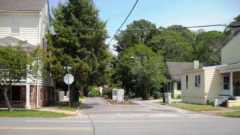
8. Cedar Hillís main entrance lane.
Cedar Hillís main entrance lane is the east segment of Mahan Street where North Main Street intersects it. Monument Alley – a war memorial exhibition on the median strip – includes one for Korea and Vietnam Wars (center, first), World War II (center, second), World War I, (center, far background), and Spanish War Veterans (not visible). A 1944 artillery cannon (not visible) is also displayed.
Photographed By Cynthia L. Clark, May 10, 2017
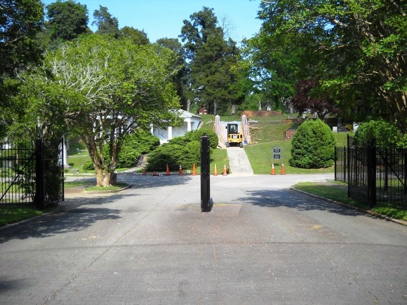
9. Cedar Hillís main entry gate.
This gate is at the east end of Mahan Street, east of Monument Alley. The burial grounds are surrounded by a wrought iron fence that has five other gates of entry. Four are on East Constance Road and one on Prentis Street.
Photographed By Cynthia L. Clark, April 26, 2017
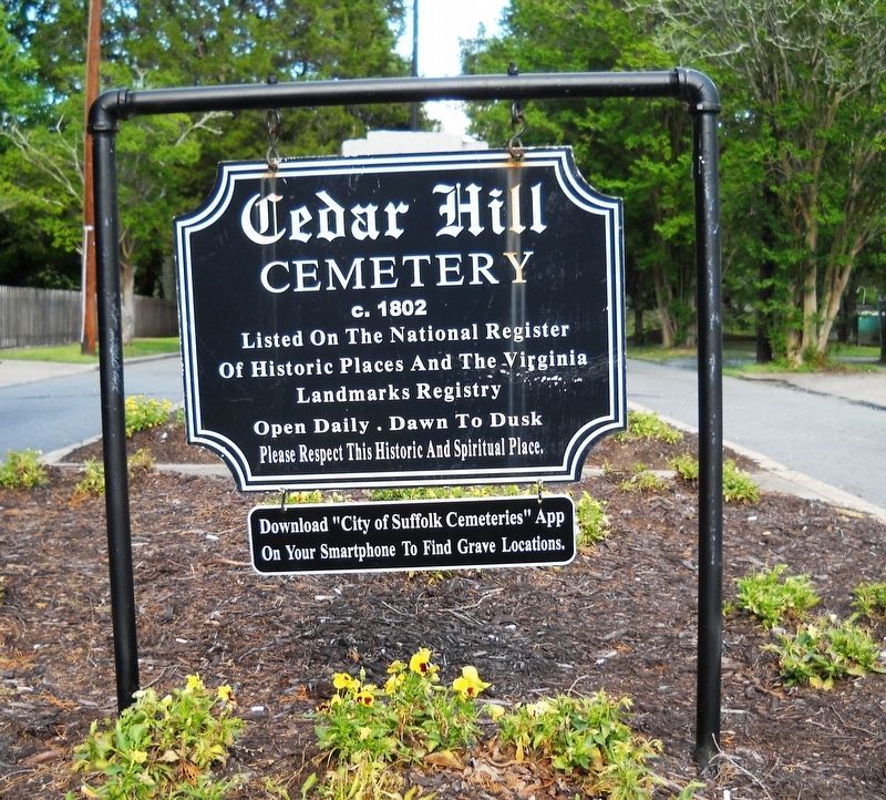
11. Cedar Hill Cemetery Main Entrance Sign.
Sign inscription: Cedar Hill Cemetery, c. 1802. Listed on the National Register of Historic Places and the Virginia Landmarks Registry. Open daily, dawn to dusk. Please respect this historic and spiritual place. Download “City of Suffolk Cemeteries” App on your smartphone to find grave locations.
Photographed By Cynthia L. Clark, May 10, 2017
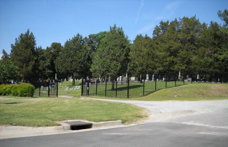
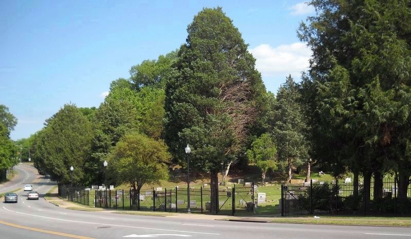
12. This is the north side of Cedar Hill Cemetery.
Shown here, looking east, on East Constance Road are the four gated entrances to Cedar Hill. The black streetlight pole (center) is left of the first one. And subsequent sidewalk indentations mark the other three.
Credits. This page was last revised on February 1, 2023. It was originally submitted on May 17, 2017, by Cynthia L. Clark of Suffolk, Virginia. This page has been viewed 773 times since then and 62 times this year. Last updated on May 19, 2017, by Cynthia L. Clark of Suffolk, Virginia. Photos: 1, 2, 3. submitted on May 17, 2017, by Cynthia L. Clark of Suffolk, Virginia. 4. submitted on May 18, 2017, by Cynthia L. Clark of Suffolk, Virginia. 5, 6, 7. submitted on May 17, 2017, by Cynthia L. Clark of Suffolk, Virginia. 8. submitted on May 18, 2017, by Cynthia L. Clark of Suffolk, Virginia. 9, 10, 11. submitted on May 19, 2017, by Cynthia L. Clark of Suffolk, Virginia. 12. submitted on May 18, 2017, by Cynthia L. Clark of Suffolk, Virginia. • Bernard Fisher was the editor who published this page.

