Lake City in Florence County, South Carolina — The American South (South Atlantic)
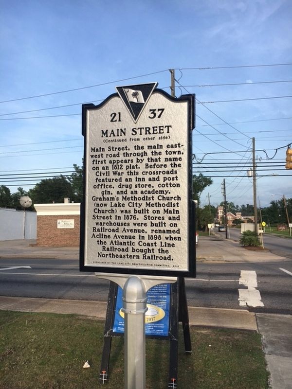
Church Street/Main Street
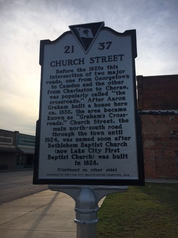
Before the 1820s this intersection of two major roads, one from Georgetown to Camden and the other from Charleston to Cheraw, was popularly called "the crosswords." After Arron Graham built a house here ca. 1930, the area became known as "Graham's Crossroads." Church Street, the main north-south road through the town until 1924, was named soon after Bethlehem Baptist Church (now Lake City First Baptist Church) was built in 1828.
Erected 2014 by The Lake City Beautification Committee. (Marker Number 21-37.)
Topics. This historical marker is listed in these topic lists: Roads & Vehicles • Settlements & Settlers.
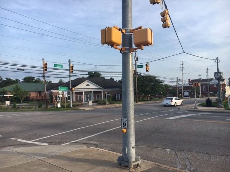
Location. 33° 52.303′ N, 79° 45.168′ W. Marker is in Lake City, South Carolina, in Florence County. Marker is at the intersection of North Church Street (Business U.S. 378) and East Main Street (State Highway 341), on the right when traveling south on North Church Street. Touch for map. Marker is in this post office area: Lake City SC 29560, United States of America. Touch for directions.
Other nearby markers. At least 8 other markers are within walking distance of this marker. Lake City (within shouting distance of this marker); Lake City Produce Markets / Lake City Bean Market (about 400 feet away, measured in a direct line); Dr. Ronald E. McNair Memorial Park (about 500 feet away); H.H. Singletary Building (about 600 feet away); Ronald E. McNair (about 600 feet away); Whitehead Infirmary (about 700 feet away); Palmetto State Bank Robbery (about 700 feet away); 111 West Main Street (approx. 0.2 miles away). Touch for a list and map of all markers in Lake City.
Credits. This page was last revised on May 30, 2017. It was originally submitted on May 30, 2017, by Jane Ruschky of Columbia, South Carolina. This page has been viewed 298 times since then and 15 times this year. Photos: 1, 2, 3. submitted on May 30, 2017, by Jane Ruschky of Columbia, South Carolina. • Bernard Fisher was the editor who published this page.


