Near Riner in Montgomery County, Virginia — The American South (Mid-Atlantic)
Floyd County / Montgomery County
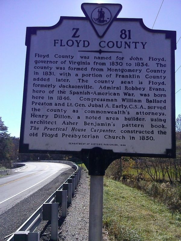
Floyd County. Floyd County was named for John Floyd, governor of Virginia from 1830 to 1834. The county was formed from Montgomery County in 1831, with a portion of Franklin County added later. The county seat is Floyd, formerly Jacksonville. Admiral Robbey Evans, hero of the Spanish-American War, was born here on 1846. Congressman William Ballard Preston and Lt. Gen. Jubal A. Early, C.S.A., served the county as commonwealth's attorneys. Henry Dillon, a noted area builder, using architect Asher Benjamin's pattern book, The Practical House Carpenter, constructed the old Floyd Presbyterian Church in 1850.
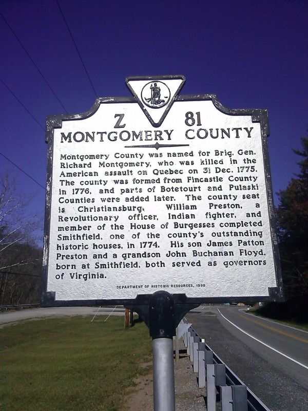
Montgomery County. Montgomery County was named for Brig. Gen. Richard Montgomery, who was killed in the American assault on Quebec on 31 Dec, 1775. The county was formed from Fincastle County in 1776, and parts of Botetourt and Pulaski Counties were added later. The county seat is Christiansburg. William Preston, a Revolutionary officer, Indian fighter, and member of the House of Burgesses completed Smithfield, one of the county's outstanding historic houses, in 1774. His son James Patton Preston and a grandson John Buchanan Floyd, born at Smithfield, both served as governors of Virginia.
Erected 1998 by Virginia Department of Historic Resources. (Marker Number Z-81.)
Topics and series. This historical marker is listed in these topic lists: Colonial Era • Political Subdivisions • Settlements & Settlers • War, US Revolutionary. In addition, it is included in the Virginia Department of Historic Resources (DHR) series list. A significant historical date for this entry is December 31, 1775.
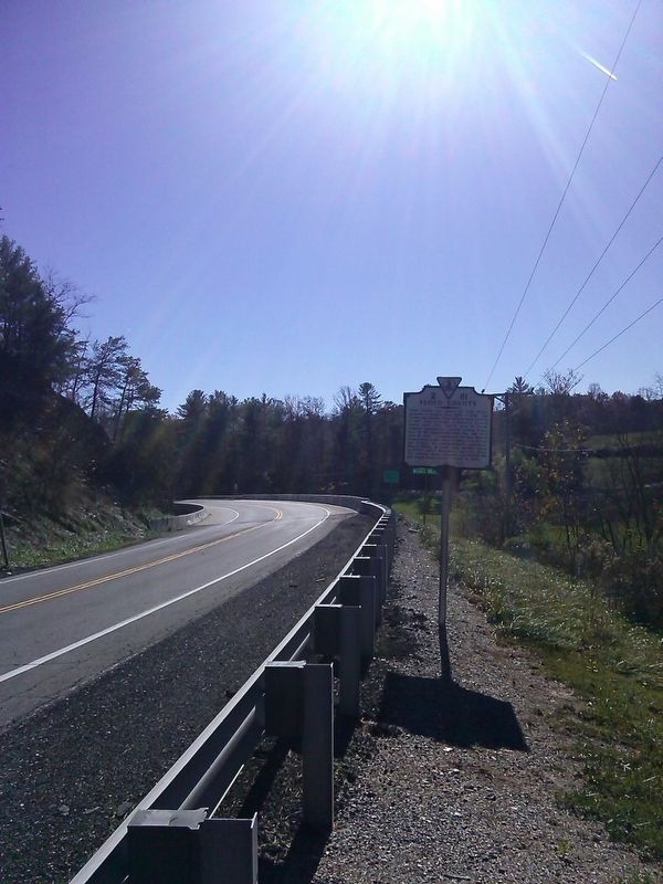
Location. 37° 0.912′ N, 80° 25.581′ W. Marker is near Riner, Virginia, in Montgomery County. Marker is on Riner Road (County Route 8) just south of Homestead Road. Touch for map. Marker is in this post office area: Floyd VA 24091, United States of America. Touch for directions.
Other nearby markers. At least 8 other markers are within 8 miles of this marker, measured as the crow flies. High Water Mark (approx. 7.4 miles away); Snowville Christian Church (approx. 7˝ miles away); Christiansburg Presbyterian Church (approx. 7.9 miles away); Montgomery County War Memorial (approx. 8 miles away); Lewis-McHenry Duel (approx. 8 miles away); Montgomery County Confederate Monument (approx. 8 miles away); Confederate Christiansburg (approx. 8 miles away); Slavery (approx. 8 miles away).
Credits. This page was last revised on July 7, 2021. It was originally submitted on June 12, 2017, by Roger Miller of Pulaski, Virginia. This page has been viewed 278 times since then and 31 times this year. Photos: 1, 2, 3. submitted on June 12, 2017, by Roger Miller of Pulaski, Virginia. • Bill Pfingsten was the editor who published this page.


