Near Emigrant Gap in Placer County, California — The American West (Pacific Coastal)
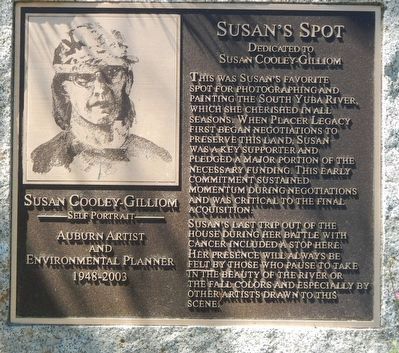
Susan's Spot
Auburn Artist and Environmental Planner
— 1948-2003 —
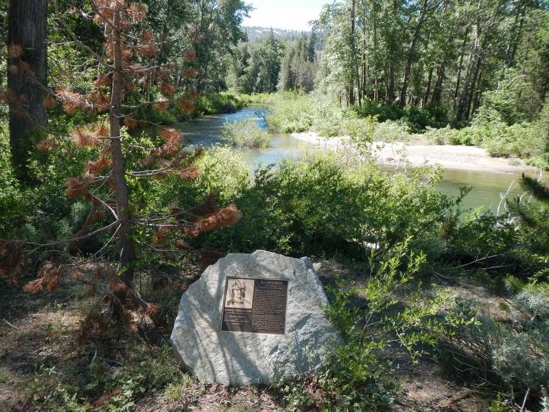
This was Susan's favorite spot for photographing and painting the South Yuba River, which she cherished in all season. When Placer Legacy first began negotiations to preserve this land, Susan was a key supporter and pledged a major portion of the necessary funding. This early commitment sustained momentum during negotiations and was critical to the final acquisition.
Susan's last trip out of the house during her battle with cancer included a stop here. Her presence will always be felt by this who pause to take in the beauty of the river or the fall colors and especially by other artists drawn to this scene.
Topics. This historical marker is listed in this topic list: Natural Features.
Location. 39° 18.686′ N, 120° 32.566′ W. Marker is near Emigrant Gap, California, in Placer County. Marker is at the intersection of Cisco Road and Hampshire Rocks Road, on the right when traveling north on Cisco Road. Touch for map. Marker is at or near this postal address: 100 Cisco Road, Emigrant Gap CA 95715, United States of America. Touch for directions.
Other nearby markers. At least 8 other markers are within 2 miles of this marker, measured as the crow flies. Forest Gift Shop, Cisco Grove (within shouting distance of this marker); Lincoln Highway (approx. 1.1 miles away); Truckee Trail - Ascent to Lake and Valley (approx. 1.3 miles away); Red Mountain (approx. 1.4 miles away); Big Bend (approx. 1.4 miles away); Overland Emigrant Trail (approx. 1.4 miles away); Stephens-Townsend-Murphy Party (approx. 1.4 miles away); Meadow Lake (approx. 1.4 miles away). Touch for a list and map of all markers in Emigrant Gap.
Credits. This page was last revised on July 7, 2017. It was originally submitted on July 7, 2017, by Barry Swackhamer of Brentwood, California. This page has been viewed 400 times since then and 32 times this year. Photos: 1, 2. submitted on July 7, 2017, by Barry Swackhamer of Brentwood, California.

