Landslides
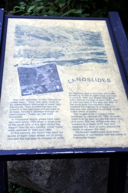
In Franconia Notch, slides have been recorded since 1826 when a large slide at the south end of the lake closed the wagon road for two months. Other “slips” were reported in 1850 and 1883.
In this century, the Notch has been the scene of eight major slides, six of which crossed the highway. In October of 1938, the highway, east of this view point, was buried by 15 feet of earth, trees and rock. in June of 1946, two slides came down within twenty minutes of each other, one at the north end of this lake, the other at the south end. The southern slide covered the highway to a depth of 15 feet and was estimated to contain 10,000 cubic yards of debris.
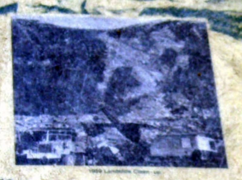
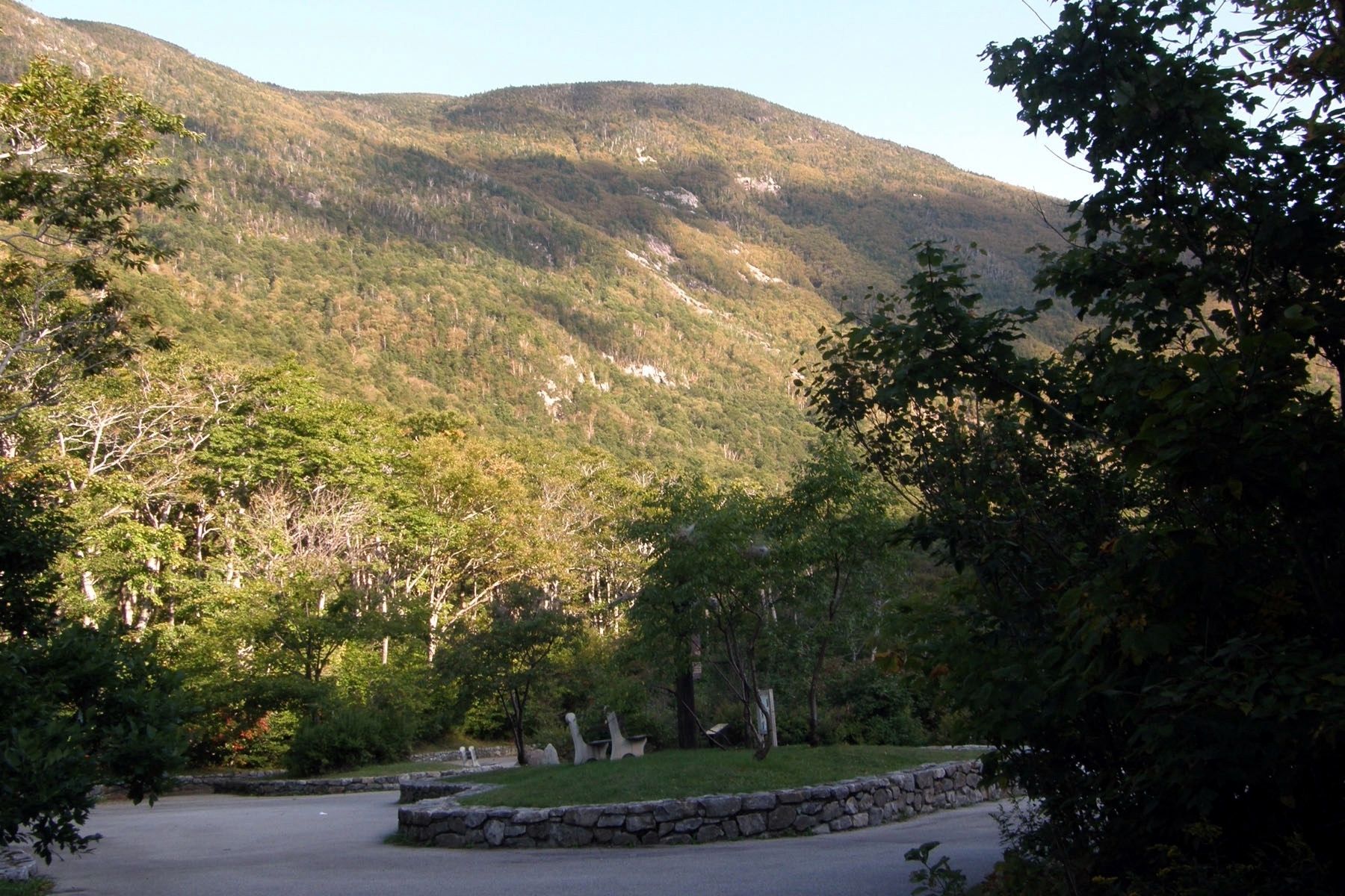
The largest slide in modern times occurred on October 24, 1959. Its slide track is to be seen across the Notch from this point. 200 feet of highway was covered to a depth of 27 feet, and required 3 ½ days of work, around the clock, to reopen the road.
No human deaths have ever been recorded in connection with the slides in Franconia Notch.
Topics. This historical marker is listed
Location. 44° 9.933′ N, 71° 40.75′ W. Marker is in Franconia, New Hampshire, in Grafton County. Marker can be reached from Styles Bridges Highway (U.S. 93). The marker is in the Old Man of the Mountain Historic Site in Franconia Notch State Park. Touch for map. Marker is in this post office area: Franconia NH 03580, United States of America. Touch for directions.
Other nearby markers. At least 8 other markers are within walking distance of this marker. Profile Lake (here, next to this marker); Eagle Cliff (here, next to this marker); Preserving a Fragile Formation (within shouting distance of this marker); Viewing the Old Man (within shouting distance of this marker); The Old Man of the Mountain (within shouting distance of this marker); Why is it called A NOTCH? (within shouting distance of this marker); Franconia Notch (within shouting distance of this marker); A Delicate Balance (within shouting distance of this marker). Touch for a list and map of all markers in Franconia.
Credits. This page was last revised on July 26, 2017. It was originally submitted on July 25, 2017, by Larry Gertner of New York, New York. This page has been viewed 454 times since then and 36 times this year. Photos: 1, 2, 3. submitted on July 25, 2017, by Larry Gertner of New York, New York. • Bill Pfingsten was the editor who published this page.


