Near Stanley in Page County, Virginia — The American South (Mid-Atlantic)
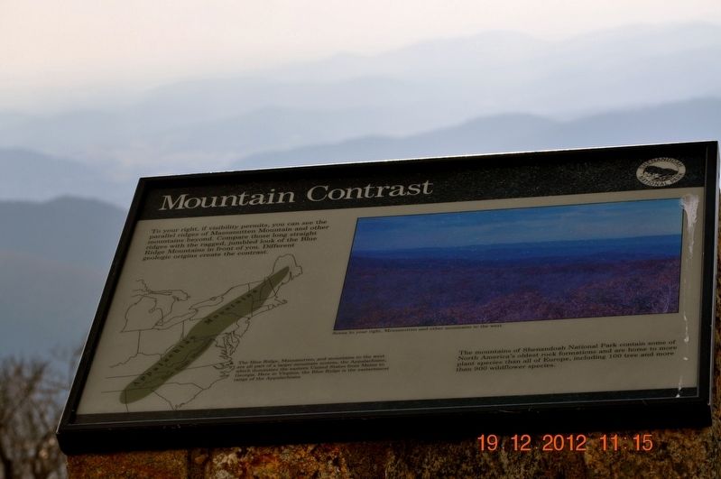
Mountain Contrast
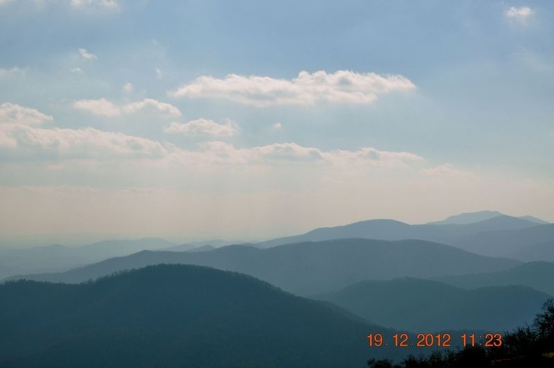
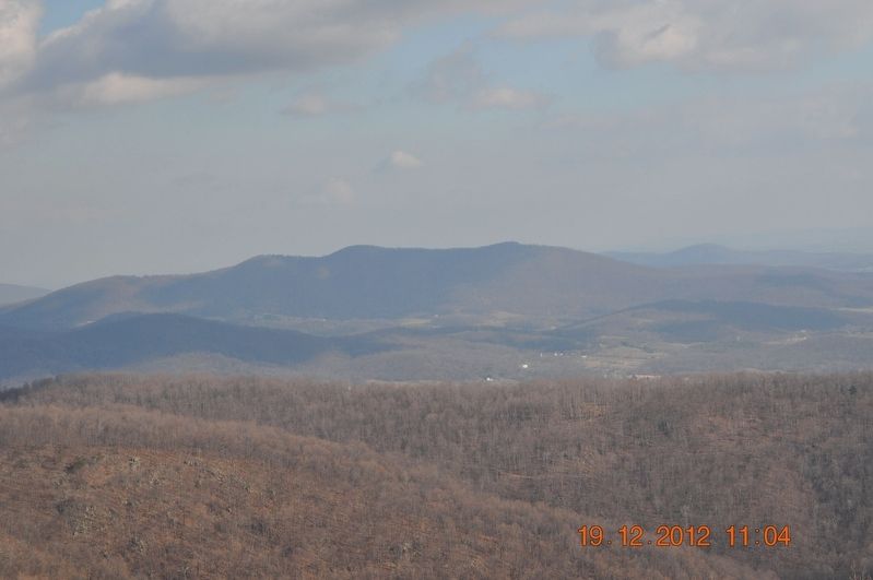
The Blue Ridge, Massanutten, and mountains to the west are all part of a larger mountain system, the Appalachians, which dominates the Eastern United States from Maine to Georgia. Here in Virginia, the Blue Ridge is the easternmost range of the Appalachians.
The mountains of Shenandoah National Park contain some of North America's oldest rock formations and are home to more plant species than all of Europe, including 100 tree and more than 900 wildflower species.
(caption)
Scene to your right, Massanutten and other mountains to the west
Erected by Shenandoah National Park.
Topics. This historical marker is listed in this topic list: Natural Features.
Location. 38° 30.982′ N, 78° 26.618′ W. Marker is near Stanley, Virginia, in Page County. Marker is on Skyline Drive, on the right when traveling south. Touch for map. Marker is in this post office area: Stanley VA 22851, United States of America. Touch for directions.
Other nearby markers. At least 8 other markers are within 2 miles of this marker , measured as the crow flies. Civilian Conservation Corps (approx. 0.2 miles away); Skyline Drive Historic District (approx. 0.4 miles away); Iron Mike (approx. 0.4 miles away); National Park Service CCC Camps (approx. 0.4 miles away); Getting to know the air you breathe! (approx. 0.7 miles away); Dark Hollow (approx. 0.7 miles away); Big Meadows Lodge (approx. 0.9 miles away); Milam Gap Trailhead (approx. 1.1 miles away).
Also see . . . Shenandoah National Park. National Park Service (Submitted on August 8, 2017.)
Credits. This page was last revised on July 8, 2021. It was originally submitted on August 7, 2017, by Sandra Hughes Tidwell of Killen, Alabama, USA. This page has been viewed 263 times since then and 19 times this year. Photos: 1, 2, 3. submitted on August 7, 2017, by Sandra Hughes Tidwell of Killen, Alabama, USA. • Bernard Fisher was the editor who published this page.


