Navy Yard in Southeast Washington in Washington, District of Columbia — The American Northeast (Mid-Atlantic)
Marine Railway - Experimental Model Basin
Marine Railway
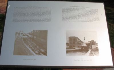
In 1822 Commodore John Rogers designed and built the first marine railway in the United States. The purpose of the railway was to haul ships out of the water for repair or preservation of their hull. Before this time, ships needing hull repairs were hauled on shore at high tide and careened on their sides to expose half of the hull at a time. This first railway was demonstrated to a congressional group using 140 sailors to haul the Navy's new frigate Potomac out of the water. This so impressed the distinguished group watching, which included President James Monroe, that Rogers was asked to submit his designs to the Navy Department. Most recently the railway was used to maintain the Presidential yacht which berthed nearby. The cradle used to haul the vessels out of the water has been removed but the winch house is still standing at the head of the incline. (Located behind the model basin.)
Experimental Model Basin
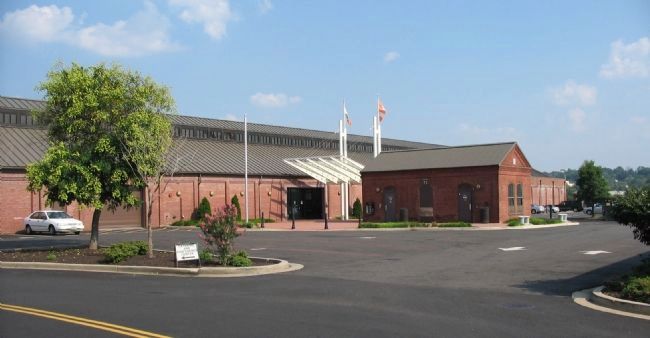
In 1897-98 the model basin was designed and built under the supervision of Naval Constructor David Watson Taylor. Scale ship models were towed the length of the 470-foot basin while scientific and photographic equipment measured the effect of water on the hull. At the time of its completion, the basin was the largest and best equipped in the world and became the center of the Navy's hull design activity. This basin became increasingly inadequate for the tests the Navy required so a new facility, the David Taylor Model Basin, was dedicated in 1939 at Carderock, Maryland. The old basin was filled in and the building used for storage. Adjacent to the building Taylor designed and built the Navy's first wind tunnel in 1931[sic-14. It was constructed of wood and was eight feet square at the observing booth with a capability of generating air velocity of 6,000 feet per minute.
Topics and series. This historical marker is listed in these topic lists: Military • Notable Buildings • Science & Medicine. In addition, it is included in the Former U.S. Presidents: #05 James Monroe series list. A significant historical year for this entry is 1822.
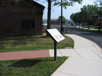
Location. 38° 52.406′ N, 76° 59.677′ W. Marker is in Southeast Washington in Washington, District of Columbia. It is in Navy Yard. Marker is at the intersection of Sicard Street Southeast and Dahlgren Avenue Southeast, on the right when traveling south on Sicard Street Southeast. Parking is restricted on the Navy Yard during business hours. Visitors without military identification are required to enter the Yard via the west entrance off M Street, SE. Drivers must obtain a visitor's pass and proceed to an authorized parking area as directed. Touch for map. Marker is at or near this postal address: 736 Sicard Street Southeast, Washington Navy Yard DC 20374, United States of America. Touch for directions.
Other nearby markers. At least 8 other markers are within walking distance of this marker. Site of U. S. Experimental Model Basin 1898 - 1955 (here, next to this marker); National Museum of the U.S. Navy (within shouting distance of this marker); Navy Department Library (about 400 feet away, measured in a direct line); Willard Park (about 400 feet away); Naval Historical Foundation (about 400 feet away); Dudley Knox Center for Naval History (about 500 feet away); Washington Navy Yard Chapel (about 500 feet away); Leutze Park - Marine Corps Historical Center (about 500 feet away). Touch for a list and map of all markers in Southeast Washington.
More about this marker. Photographs on the lower portion of the marker show the railway and the model basin as they appeared around 1900.
Credits. This page was last revised on January 30, 2023. It was originally submitted on August 19, 2008, by Richard E. Miller of Oxon Hill, Maryland. This page has been viewed 1,733 times since then and 13 times this year. Last updated on August 27, 2008, by Richard E. Miller of Oxon Hill, Maryland. Photos: 1, 2, 3. submitted on August 19, 2008, by Craig Swain of Leesburg, Virginia. • Craig Swain was the editor who published this page.


