Near Baker City in Baker County, Oregon — The American West (Northwest)
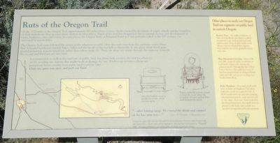
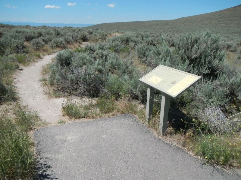
Ruts of the Oregon Trail

Photographed By Barry Swackhamer, June 28, 2017
1. Ruts of the Oregon Trail Marker
Captions (located at the bottom center) "... after leaving camp. We crossed the divide and camped at the lone pine tree..." -- James W. Nesmith, 25 September 1843; Emigrants generally traveled through this area sometime between mid-August and late-September. At the time of the migration, this site was not known as "Flagstaff Hill", but referred to as a high ridge or divide in pioneer diaries.; Motorized vehicles create a parallel set of ruts about four feet apart.; Wagons pulled by animals created a trench-like swale where the trampling of hooves packed down earth between the wheels.
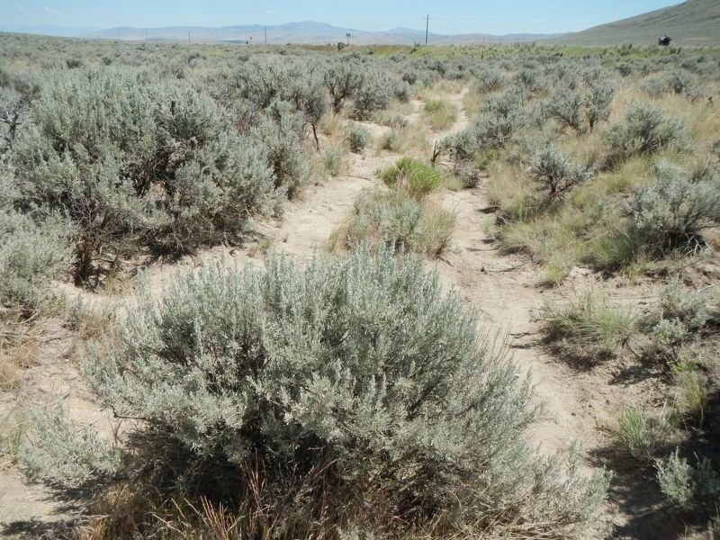
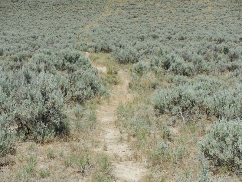
The Oregon Trail route followed the easiest grades wherever possible. Here the trail came from the southeast across Virtue Flat. It headed northwest towards Baker Valley and the divide in the low hills to the north. In any place where level open ground permitted, wagons spread out rather than follow single file. There are three sets of ruts through this segment, however the second and third sets are very faint.
It is permissible to walk in the trail ruts on public land, but please help preserve the trail for others to see by avoiding any activity that might erode or damage the ruts. If following rut traces, please get permission before crossing from public land to private land. Close any gates you open, and pack out litter.
Keeney Pass - Six miles southeast of Vale on Lytle Boulevard, there is a BLM interpretive site with paved trail and parking area. Deep double swales mark where wagons claimed the summit. For and five sets of ruts gradually merge into one.
Blue Mountain Crossing - From I-84, exit 248, about 16 miles northwest of LaGrande. Open only during the summer season. Managed by the USDA Forest Service, this park has some of the best preserved ruts in Oregon. Paved trails provide easy access to deep ruts in the forest floor.
Echo Meadows - Five and a half miles west of Echo on Highway 320, then half mile north on a gravel road. A BLM interpretive site provides parking, informational panels, and a paved trail to deep, clear ruts. Surrounded by developed farmland, this small section preserves the look and sounds of a meadow as experienced by the pioneers.
Erected by Bureau of Land Management.
Topics and series. This historical marker is listed in this topic list: Roads & Vehicles. In addition, it is included in the Oregon Trail series list. A significant historical date for this entry is September 25, 1843.
Location. 44° 48.492′ N, 117° 43.902′ W. Marker is near Baker City, Oregon, in Baker County. Marker can be reached from Oregon Route 86 near Oregon Trail, on the right when traveling west. Touch for map. Marker is at or near this postal address: 22267 Oregon Highway 86, Baker City OR 97814, United States of America. Touch for directions.
Other nearby markers. At least 8 other markers are within 5 miles of this marker, measured as the crow flies. The Lure of Gold (a few steps from this marker); The Wagon Encampment (approx. 0.4 miles away); Oregon Trail Memorial (approx. 0.6 miles away); The Lone Tree of the Oregon Trail (approx. 1.1 miles away); Chinese Shrine (approx. 4.1 miles away); Baker City Chinese History (approx. 4.2 miles away); Baker (approx. 4.3 miles away); The Oregon Trail (approx. 4.3 miles away). Touch for a list and map of all markers in Baker City.
Credits. This page was last revised on September 11, 2017. It was originally submitted on September 9, 2017, by Barry Swackhamer of Brentwood, California. This page has been viewed 578 times since then and 73 times this year. Photos: 1, 2, 3, 4. submitted on September 9, 2017, by Barry Swackhamer of Brentwood, California.


