Colón, Querétaro, Mexico — The Central Highlands (North America)
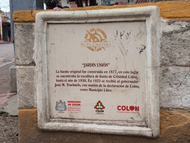
"El Jardín Unión"
— Ruta Cristera —
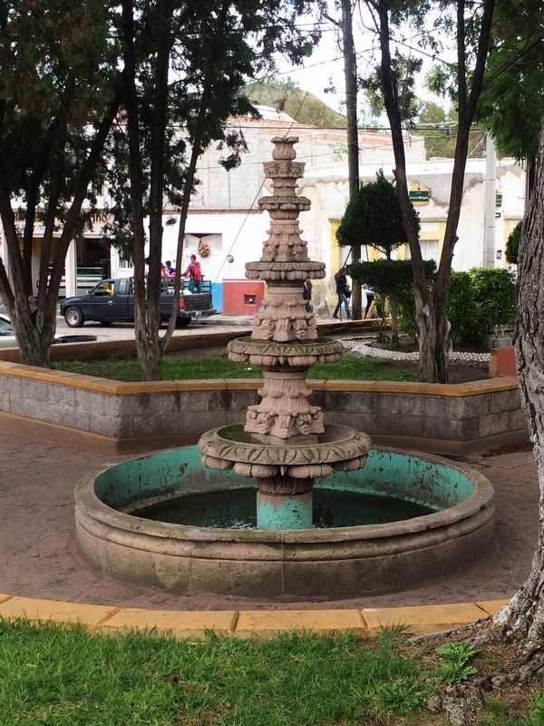
La fuente original fue construida en 1877, en este lugar se encontraba la escultura de busto de Cristóbal Colón, hasta el año de 1930. En 1923 se recibió al gobernador José M. Truchuelo, con motivo de la declaración de Colón, como Municipio Libre.
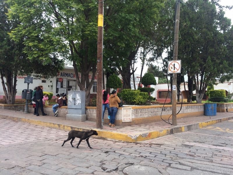
The original fountain in this park was constructed in 1877. There was a bust of Christopher Columbus here also, up until 1930. In 1923 the Governor José M. Truchuelo was received here during the declaration of Colón as a Free Municipality.
Erected by Municipio de Colón, Presidencia Municipal 2012-2015.
Topics. This historical marker is listed in these topic lists: Government & Politics • Man-Made Features. A significant historical year for this entry is 1877.
Location. 20° 47.249′ N, 100° 2.922′ W. Marker is in Colón, Querétaro. Marker is at the intersection of Calle Francisco I. Madero and Calle Álvaro Obregón, on the right when traveling south on Calle Francisco I. Madero. Touch for map. Marker is in this post office area: Colón QUE 76270, Mexico. Touch for directions.
Other nearby markers. At least 8 other markers are within walking distance of this marker. Lieutenant Coronel Norberto García (a few steps from this marker); "Antiguo Hospital" (a few steps from this marker); The Landaverde House (about 120 meters away, measured in a direct line); Norberto García de la Vega (about 180 meters away); "La Purísima" (about 210 meters away); The Parish of San Francisco (approx. 0.3 kilometers away); Temple of San Francisco de Asís (approx. 0.3 kilometers away); "La Gaviota" (approx. 0.3 kilometers away). Touch for a list and map of all markers in Colón.
Credits. This page was last revised on September 16, 2017. It was originally submitted on September 16, 2017, by J. Makali Bruton of Accra, Ghana. This page has been viewed 134 times since then and 18 times this year. Photos: 1, 2, 3. submitted on September 16, 2017, by J. Makali Bruton of Accra, Ghana.


