Near Tetonia in Teton County, Idaho — The American West (Mountains)
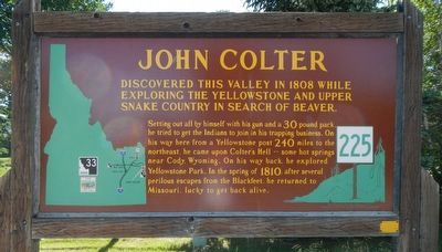
John Colter
Setting out all by himself with it gun and a 30 pound pack he tried to get the Indians to join in his trapping business. On his way here from a Yellowstone post 240 miles to the northeast, he came upon Colter's Hell -- some hot springs near Cody Wyoming. On his way back, he explored Yellowstone Park. In the spring of 1810 after several perilous escapes from the Blackfeet, he returned to Missouri, lucky to be alive.
Erected by Idaho Department of Transportation. (Marker Number 225.)
Topics and series. This historical marker is listed in these topic lists: Animals • Exploration • Native Americans. In addition, it is included in the Idaho State Historical Society series list. A significant historical year for this entry is 1808.
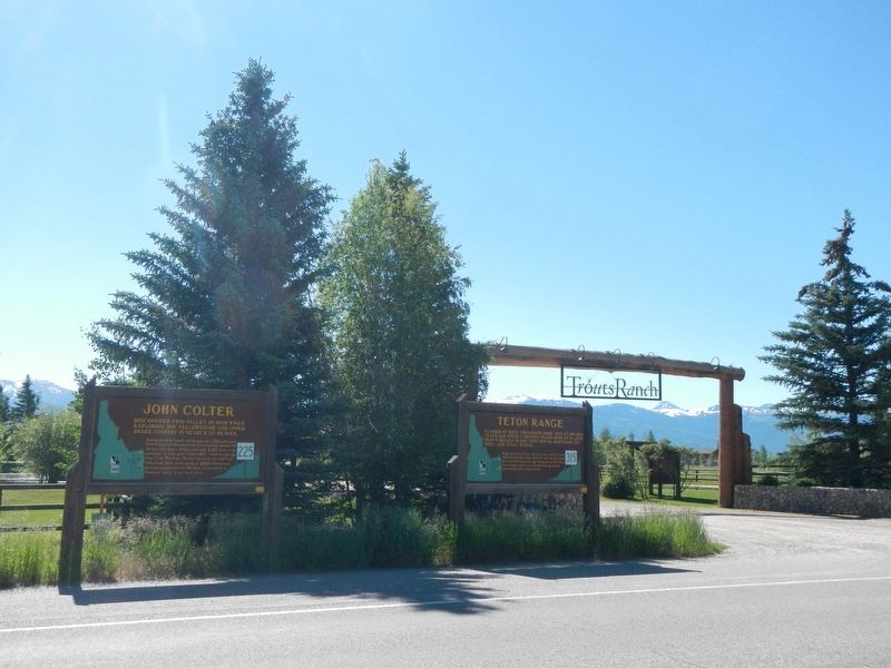
Location. 43° 47.55′ N, 111° 6.648′ W. Marker is near Tetonia, Idaho, in Teton County. Marker is at the intersection of State Highway 33 at milepost 136.5 and Trouts Ranch Road, on the left when traveling south on State Highway 33. Touch for map. Marker is at or near this postal address: 485 Idaho Highway 33, Tetonia ID 83452, United States of America. Touch for directions.
Other nearby markers. At least 7 other markers are within 8 miles of this marker, measured as the crow flies . Teton Range (a few steps from this marker); Fordson Tractor (approx. 3.4 miles away); Tetonia School Bell (approx. 3.4 miles away); a different marker also named John Colter (approx. 4.7 miles away); Teton County Veterans Memorial (approx. 4.7 miles away); Pierre's Hole Rendezvous and Battle (approx. 5.9 miles away); Pierre's Hole (approx. 7˝ miles away).
Credits. This page was last revised on October 21, 2020. It was originally submitted on September 16, 2017, by Barry Swackhamer of Brentwood, California. This page has been viewed 490 times since then and 22 times this year. Photos: 1, 2. submitted on September 16, 2017, by Barry Swackhamer of Brentwood, California.

