Near Driggs in Teton County, Idaho — The American West (Mountains)
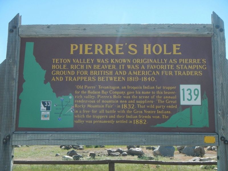
Pierre's Hole
"Old Pierre" Tevanitagon, an Iroquois Indian fur trapper of the Hudson Bay Company, gave his name to this beaver-rich valley. Pierre's Hole was the scene of the annual rendezvous of mountain men and suppliers - "The Great Rocky Mountain Fair" - in 1832. That wild party ended in a free-for-all battle with the Gros Ventre Indians, which the trappers and their Indian friends won. The valley was permanently settled in 1882.
Erected by Idaho Department of Transportation. (Marker Number 139.)
Topics and series. This historical marker is listed in this topic list: Native Americans. In addition, it is included in the Idaho State Historical Society series list. A significant historical year for this entry is 1832.
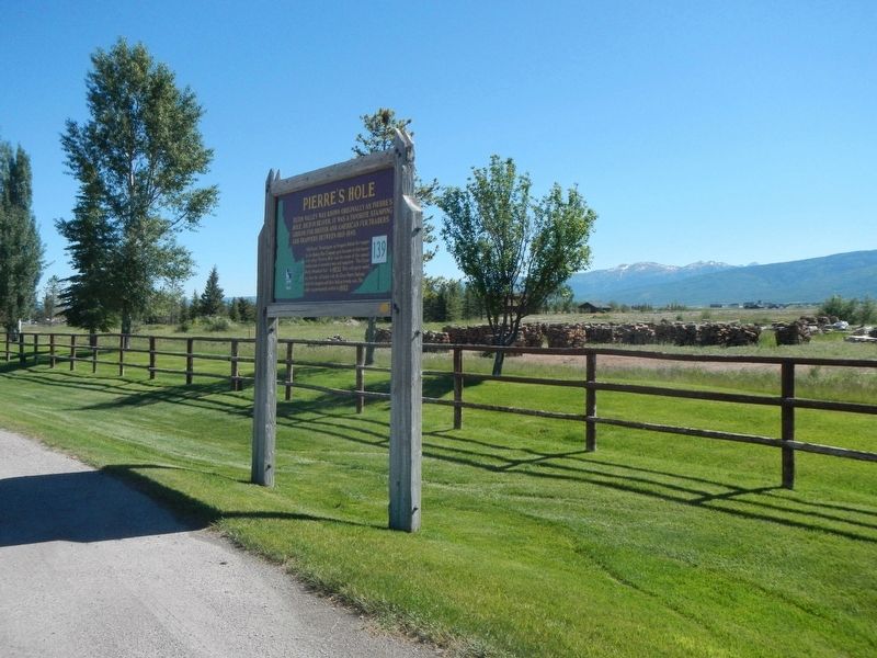
Location. 43° 41.046′ N, 111° 6.624′ W. Marker is near Driggs, Idaho, in Teton County. Marker is on State Highway 33 near South 500 West, on the left when traveling south. Touch for map. Marker is at or near this postal address: 263 Idaho Highway 33, Driggs ID 83422, United States of America. Touch for directions.
Other nearby markers. At least 8 other markers are within 16 miles of this marker, measured as the crow flies. Pierre's Hole Rendezvous and Battle (approx. 1.6 miles away); Teton County Veterans Memorial (approx. 2.8 miles away); John Colter (approx. 2.8 miles away); Tetonia School Bell (approx. 4.1 miles away); Fordson Tractor (approx. 4.1 miles away); Teton Range (approx. 7˝ miles away); a different marker also named John Colter (approx. 7˝ miles away); Welcome to Teton Pass (approx. 15.1 miles away in Wyoming). Touch for a list and map of all markers in Driggs.
Also see . . . Pierre's Hole - Wikipedia. Explorer and mountain man John Colter, a member of the earlier Lewis & Clark Expedition, asserted that he passed through the valley in 1808. The Teton River flows northward though the mountain meadows of Pierre's Hole and then conjoins Bitch Creek (once known as the North Fork of the Teton) just before it turns west and into Teton Canyon. To mountain men, a large low-lying valley, such as this, with abundant beaver and game was called a "hole". Mountain men preferred these areas of numerous beaver rich streams as they provided ample food and comfortable camping in addition to beaver pelts. (Submitted on September 18, 2017, by Barry Swackhamer of Brentwood, California.)
Additional keywords. Mountain Men, Rendezvous
Credits. This page was last revised on September 18, 2017. It was originally submitted on September 18, 2017, by Barry Swackhamer of Brentwood, California. This page has been viewed 2,430 times since then and 233 times this year. Photos: 1, 2. submitted on September 18, 2017, by Barry Swackhamer of Brentwood, California.

