Rockford in Blount County, Tennessee — The American South (East South Central)
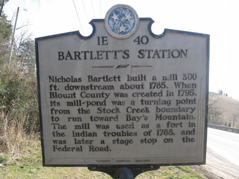
Bartlett's Station
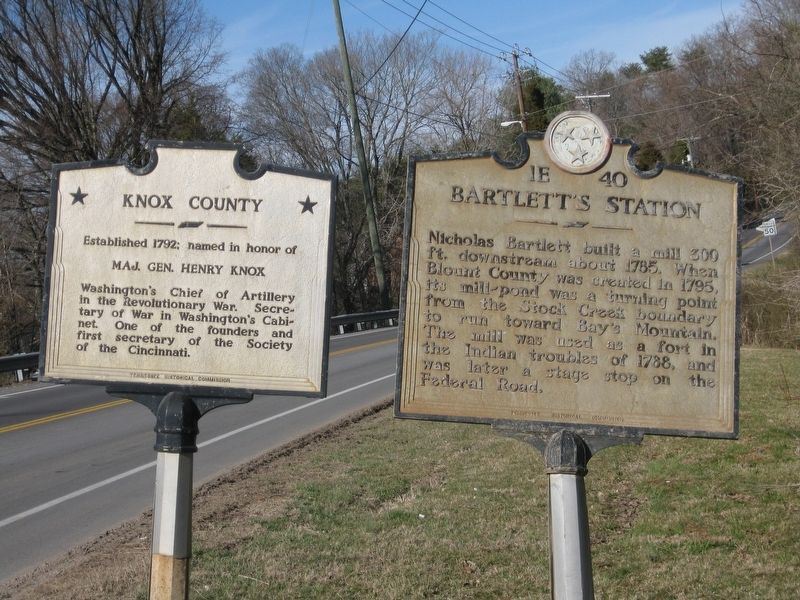
Nicholas Bartlett built a mill 300 ft. downstream about 1785. When Blount County was created in 1795, its mill-pond was a turning point from the Stock Creek boundary to run toward Bay's Mountain. The mill was used as a fort in the Indian troubles of 1788, and was later a stage stop on the Federal Road.
Erected by Tennessee Historical Commission. (Marker Number 1E 40.)
Topics and series. This historical marker is listed in these topic lists: Forts and Castles • Industry & Commerce • Wars, US Indian. In addition, it is included in the Tennessee Historical Commission series list. A significant historical year for this entry is 1785.
Location. 35° 52.355′ N, 83° 56.601′ W. Marker is in Rockford, Tennessee, in Blount County. Marker is on Old Knoxville Highway (Tennessee Route 33), on the right when traveling north. Touch for map. Marker is in this post office area: Rockford TN 37853, United States of America. Touch for directions.
Other nearby markers. At least 8 other markers are within 5 miles of this marker, measured as the crow flies. Knox County / Blount County (here, next to this marker); Sultana Monument (approx. 2˝ miles away); Burial Mound (approx. 4 miles away); Indian Mound (approx. 4 miles away); John Sevier Farmstead (approx. 4.4 miles away); Fort Higley (approx. 4.6 miles away); James Gillespy's Fort (approx. 4.7 miles away); Hunt Field (approx. 4.8 miles away).
Also see . . . Nicholas Bartlett. Geni website entry (Submitted on October 29, 2017, by Tom Bosse of Jefferson City, Tennessee.)
Credits. This page was last revised on February 13, 2022. It was originally submitted on October 29, 2017, by Tom Bosse of Jefferson City, Tennessee. This page has been viewed 432 times since then and 43 times this year. Photos: 1, 2. submitted on October 29, 2017, by Tom Bosse of Jefferson City, Tennessee. • Bill Pfingsten was the editor who published this page.

