Fredericksburg, Virginia — The American South (Mid-Atlantic)
Tactical Terrain
Fredericksburg: Timeless.
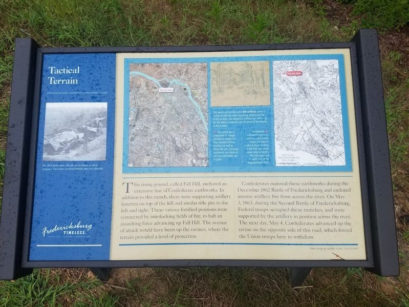
Confederates manned these earthworks during the December 1862 Battle of Fredericksburg and endured intense artillery fire from across the river. On May 3, 1863, during the Second Battle of Fredericksburg, Federal troops occupied these trenches, and were supported by the artillery in position across the river. The next day, May 4, Confederates advanced up the ravine on the opposite side of this road, which forced the Union troops here to withdraw.
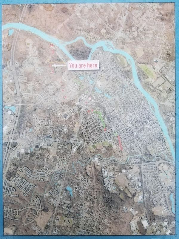
There are two maps pictured on the marker. The map on the left is captioned, "This trench was a component of a larger network of earthworks that included artillery positions as well as these rifle pits. Surviving earthworks are shown in red; lost earthworks are in green."
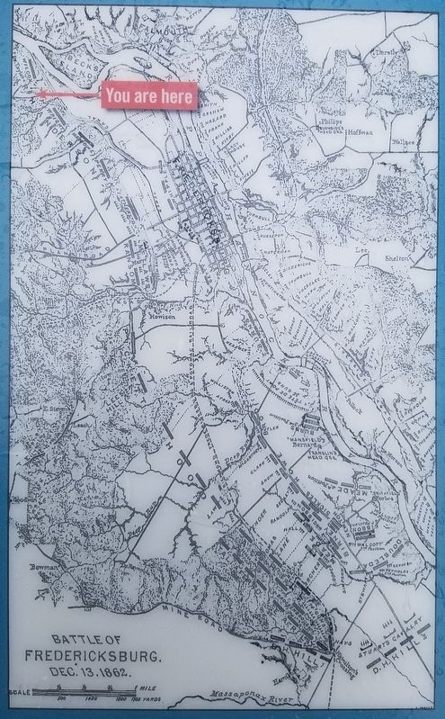
The map on the right is captioned, "Confederate earthworks extended across a range of hills behind the town of Fredericksburg, creating a line that was nearly seven miles in length. This hill comprised its north end, at the Rappahannock River."
Erected by Fredericksburg Economic Development and Tourism Office.
Topics and series. This historical marker is listed in this topic list: War, US Civil. In addition, it is included in the Virginia, Fredericksburg: Timeless. series list. A significant historical year for this entry is 1863.
Location. 38° 18.939′ N, 77° 29.391′ W. Marker is in Fredericksburg, Virginia. Marker is on Fall Hill Avenue just west of Forrest Village Drive, on the right when traveling west. Touch for map. Marker is in this post office area: Fredericksburg VA 22401, United States of America. Touch for directions.
Other nearby markers. At least 8 other markers are within walking distance of this marker. Fall Hill Road (here, next to this marker); A Once Promising Canal Becomes a Raceway (approx. 0.2 miles away); Confederate Defenses in December 1862 (approx. 0.2 miles away); Confederate and Federal Defenses in May 1863 (approx. 0.2 miles away); Rappahannock River Heritage Trail (approx. ¼ mile away); Embrey Dam (approx. 0.4 miles away); Falls of the Rappahannock River (approx. 0.4 miles away); The Rappahannock River Runs Free Once More (approx. 0.4 miles away). Touch for a list and map of all markers in Fredericksburg.
Photographed By Kevin W., August 23, 2017
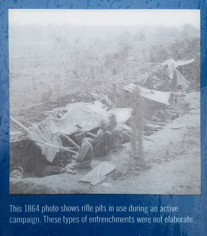
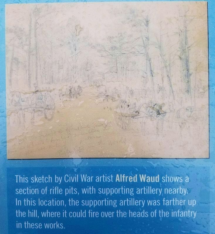
4. Closeup of picture on the Tactical Terrain Marker
This sketch by Civil War artist Alfred Waud shows a section of rifle pits, with supporting artillery nearby. In this location, the supporting artillery was farther up the hill, where it could fire over the heads of the infantry in these works.
Credits. This page was last revised on February 2, 2023. It was originally submitted on December 31, 2017, by Kevin W. of Stafford, Virginia. This page has been viewed 285 times since then and 19 times this year. Photos: 1, 2, 3, 4, 5. submitted on December 31, 2017, by Kevin W. of Stafford, Virginia.
